36 down, 27 to go and here’s Polkadot presenting the latest catch: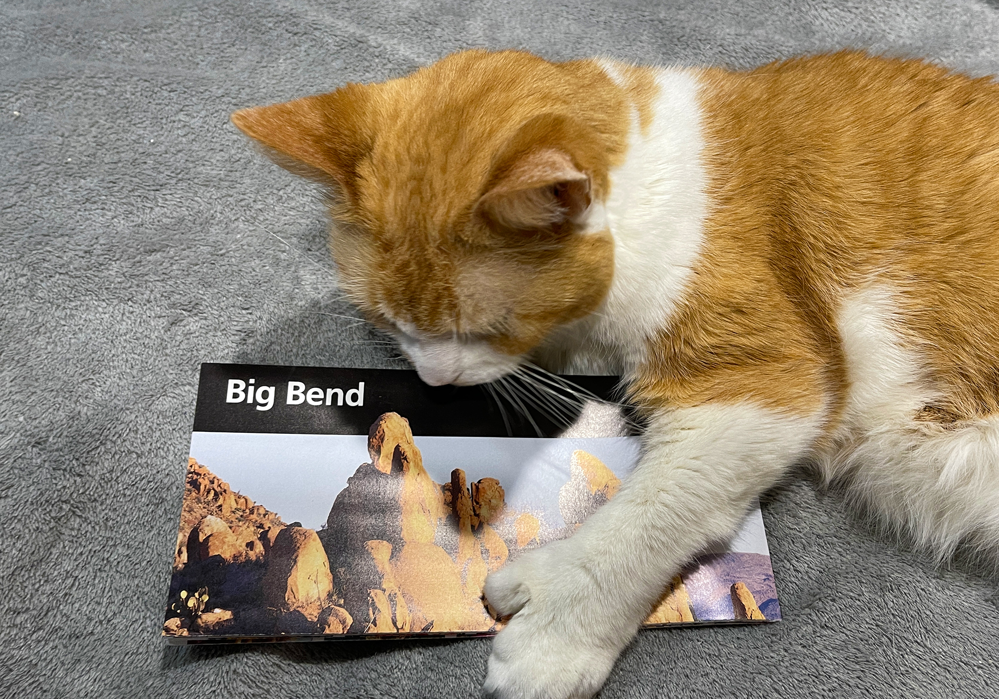
We pointed the car towards Mexico and headed south for the hundred mile drive to Big Bend. The temperature when we left was in the 30s and half way there the clouds closed in reducing the visibility to a few car lengths. 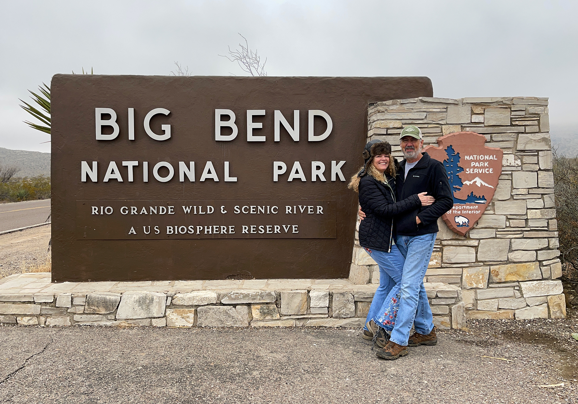
We were starting to get concerned but when we got past the park boundary and gained a little altitude, we rose above the fog and it turned into a beautiful day with a deep blue cloudless sky.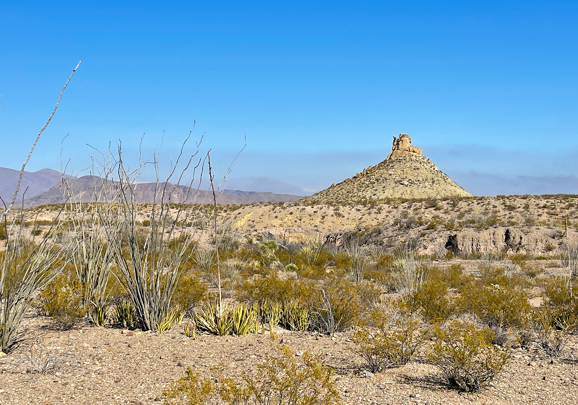
Although we’re very familiar with the green varieties of Prickly Pear found throughout the Southwest, this is the first time we’ve encountered (or at least noticed) the purple variety (Opuntia macrocentra). This cactus dotted the landscape everywhere we went in Big Bend and stood out quite distinctly against the usual brown and green of the desert. Apparently the purple color becomes deeper with the lack of rainfall.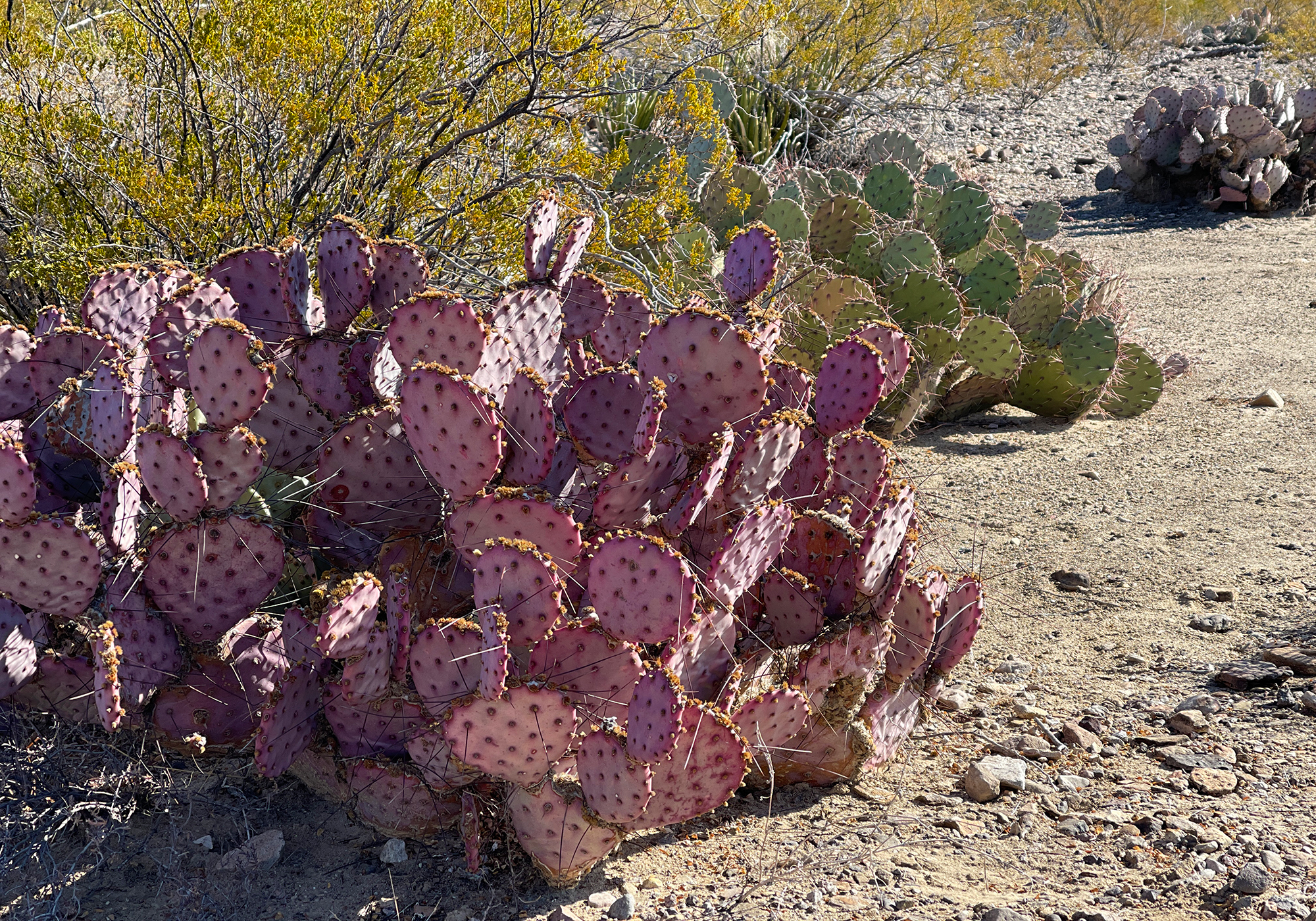
and here’s one in front of a shapely but rather dead Ocotillo (Fouquieria splendens) – when alive, the Octillo looks more cactus-like but it’s actually a succulent related to the blueberry.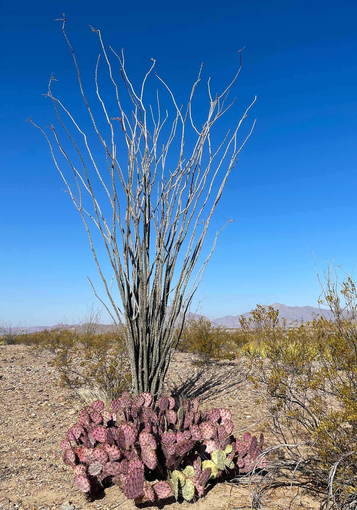
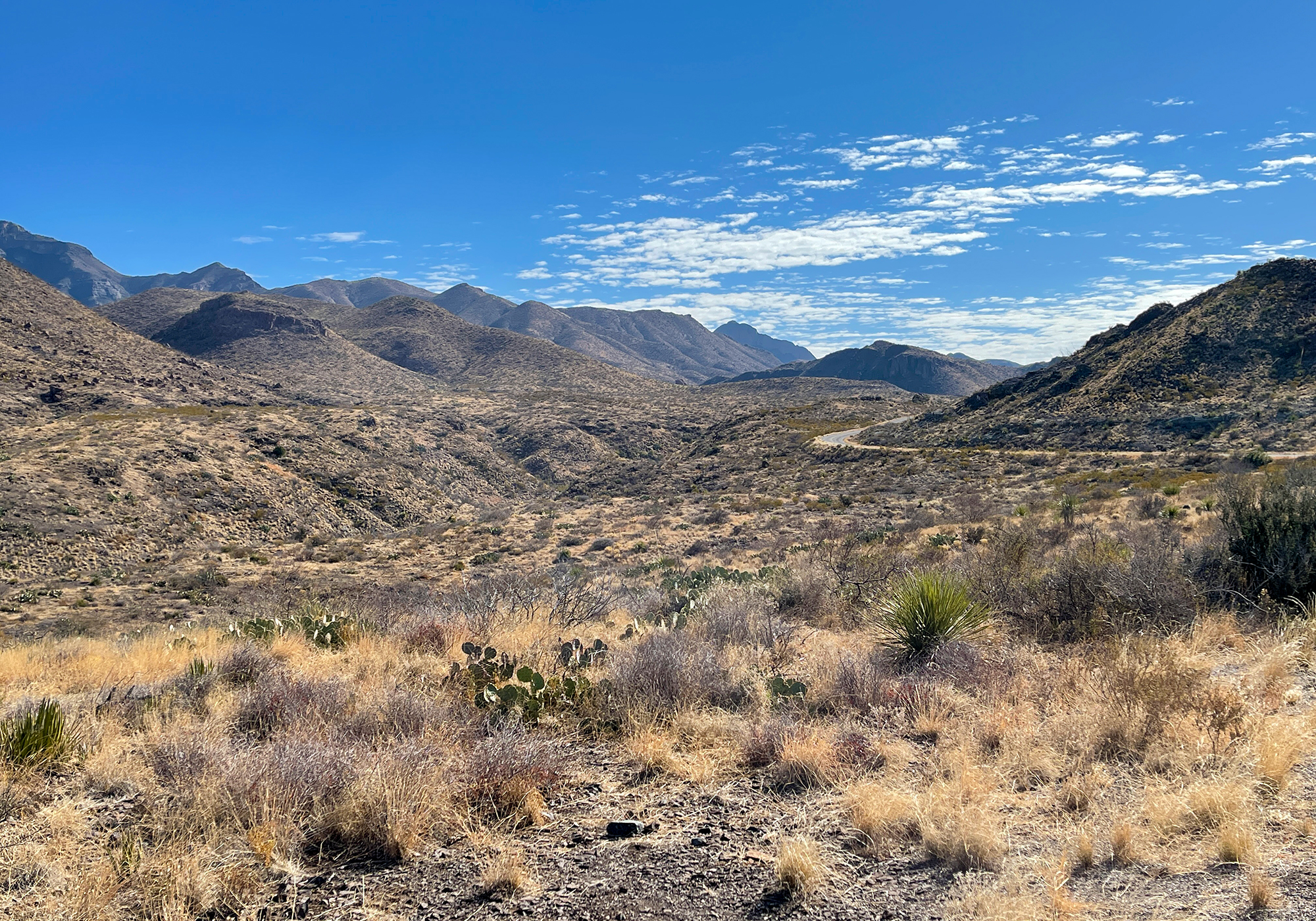
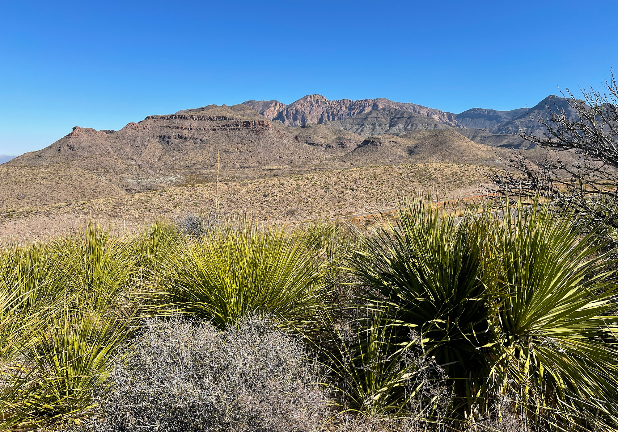
Big Bend has one main paved road that in one direction goes to the Rio Grande Village, a border station, and access to Mexico and a bunch of touristy stuff and in the other direction skirts the base of the Chisos Mountains and ends at the Rio Grande as it enters the beautiful Santa Elena Canyon. We chose the canyon which you can clearly see here on the horizon with the arrow pointing at it’s 1,500′ high cliffs: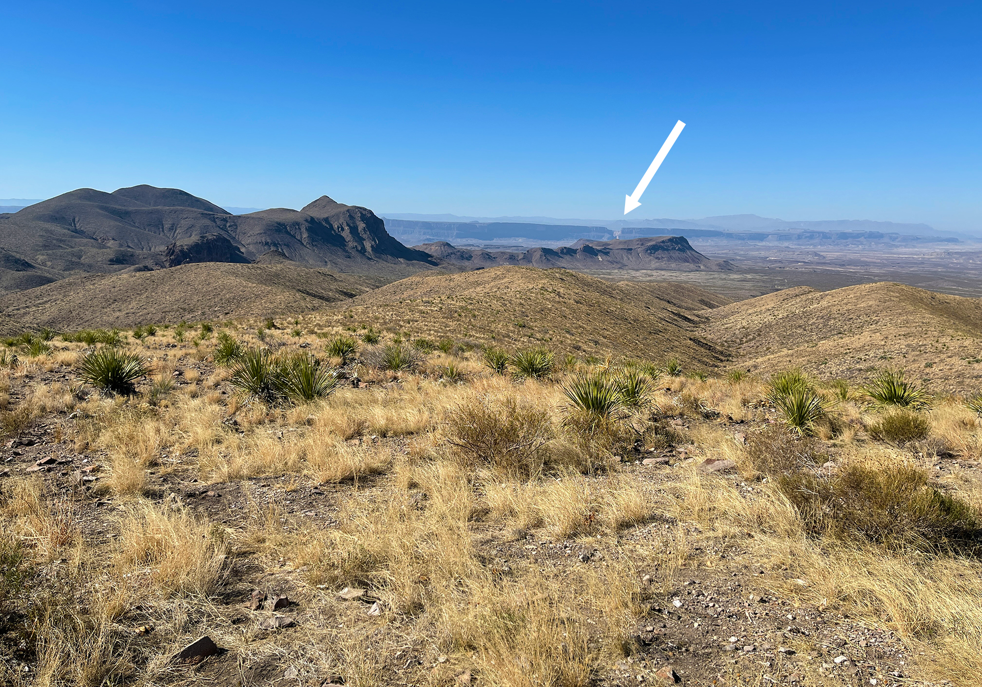
or a little better here: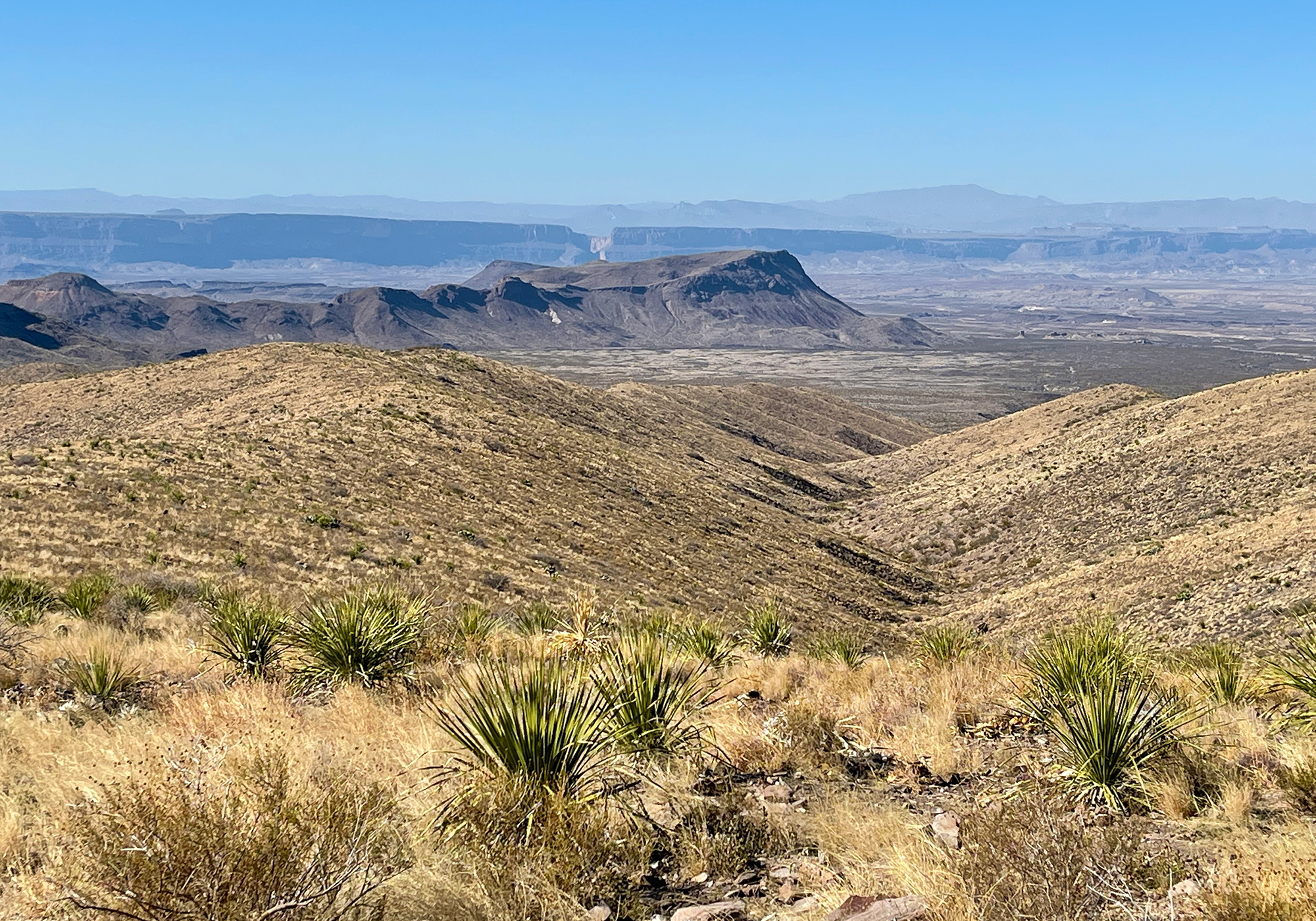
and this is the Rio Grande as it flows towards the canyon: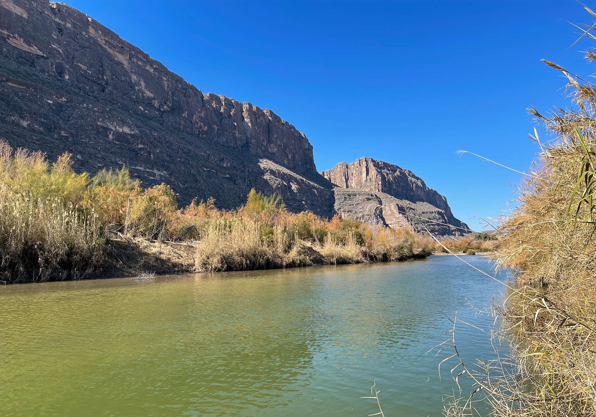
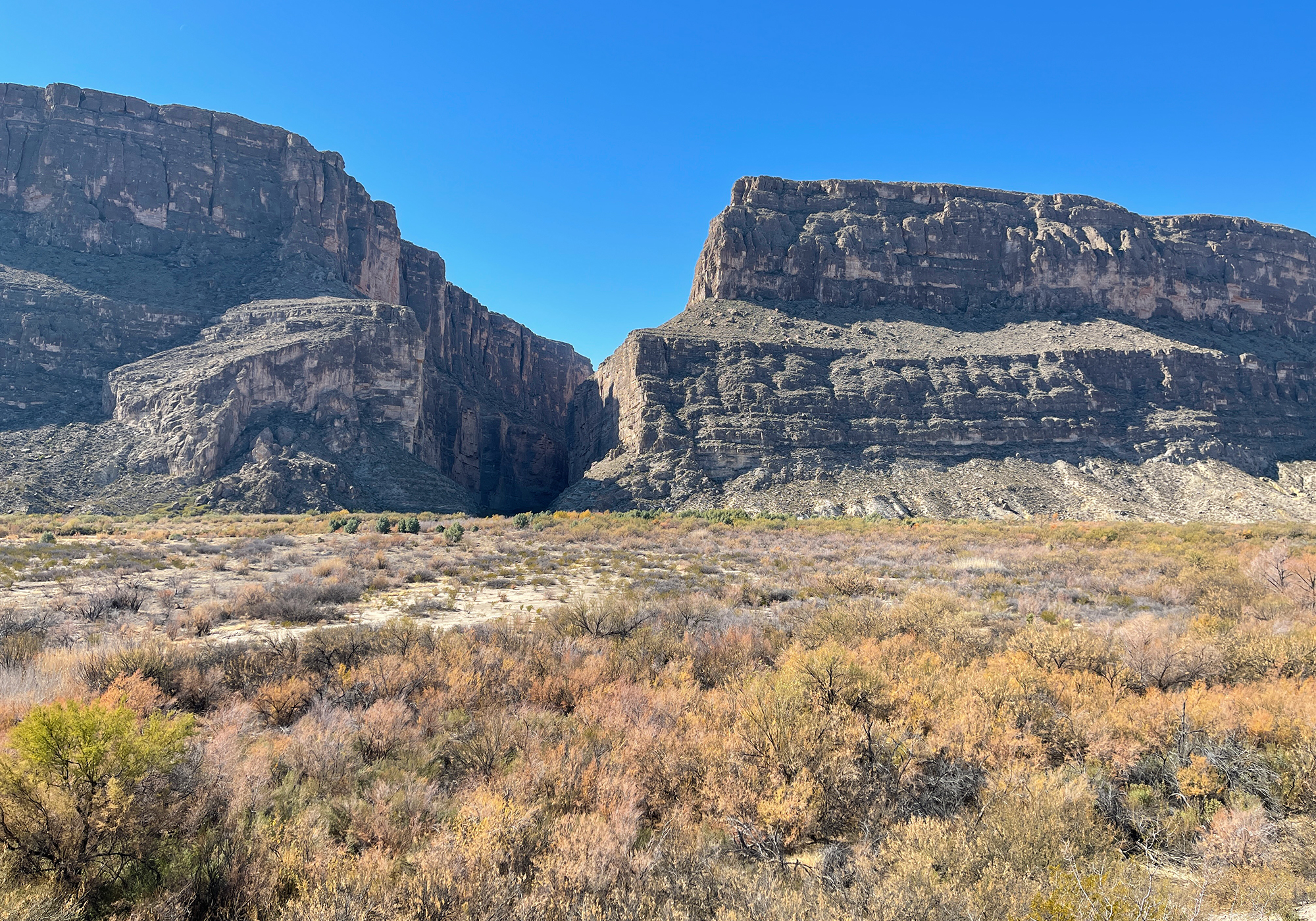
and here’s the Rio Grande as it enters the canyon: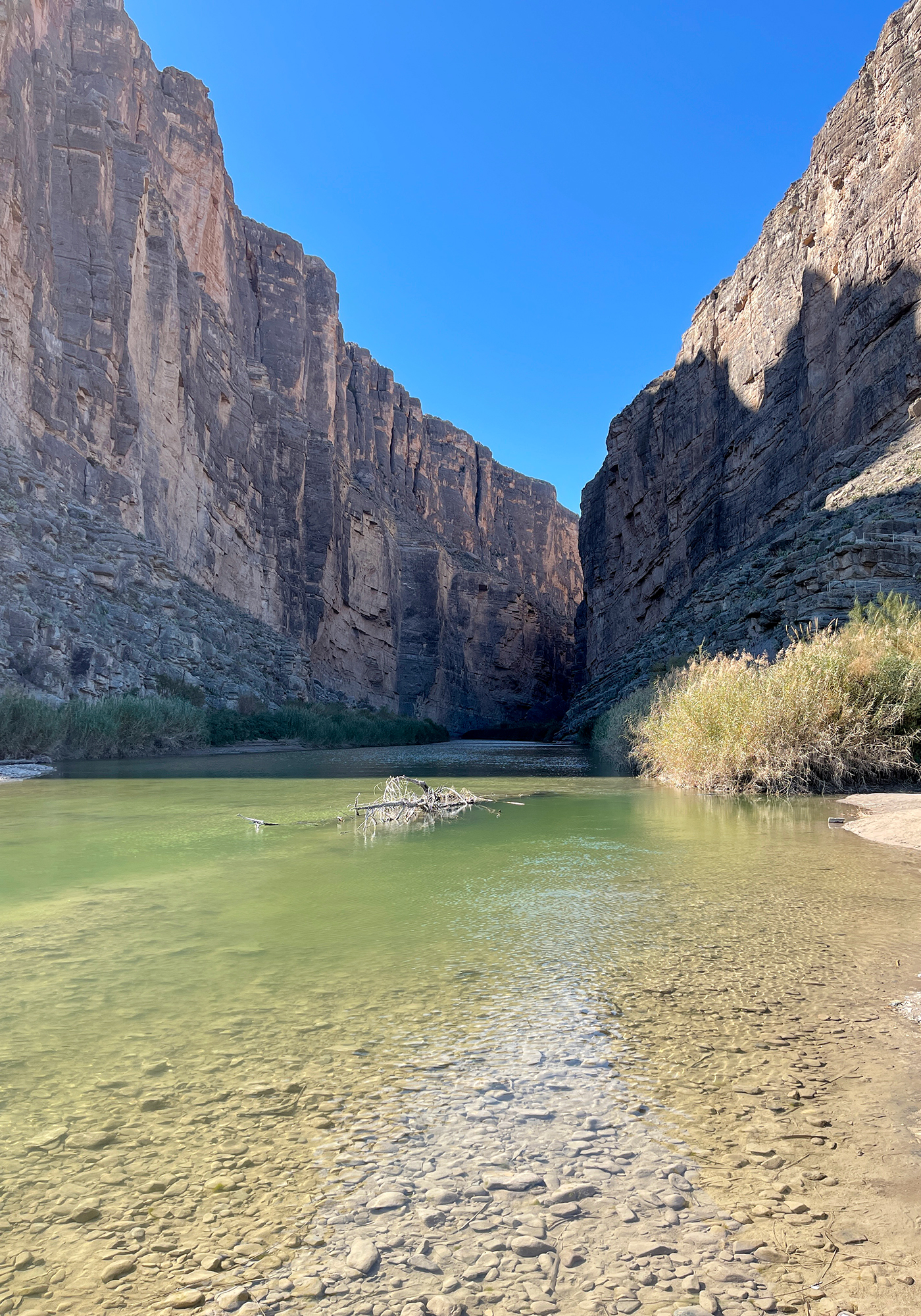
the walls on the left are Mexico. The border is defined as the middle of the deepest part of the channel.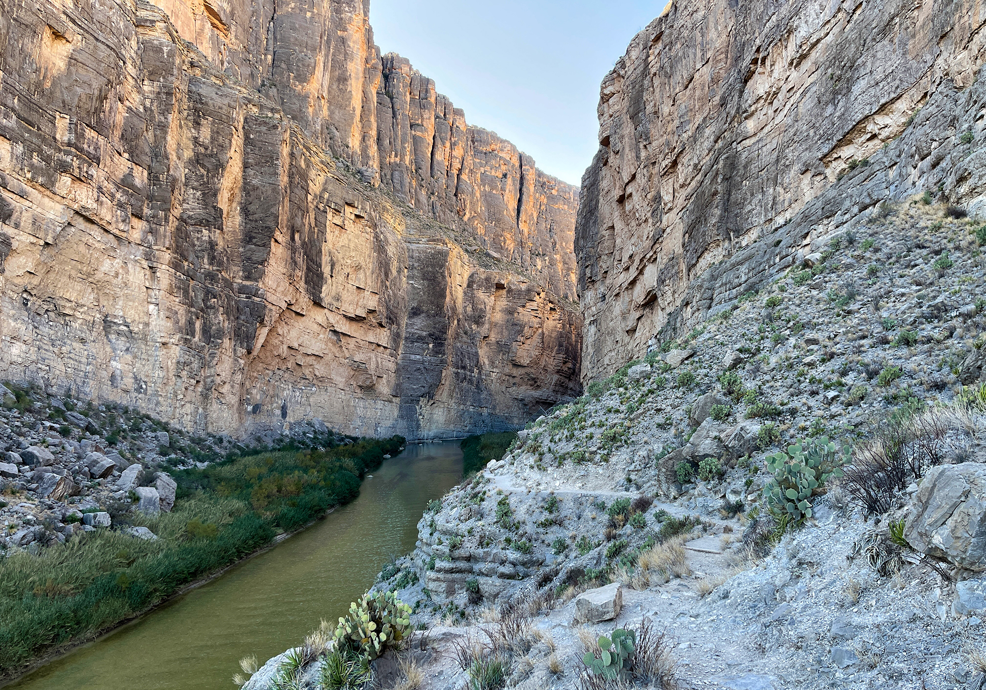
A short trail leads into the canyon and we each took a turn since we had the dogs with us and the Park Service in their wisdumb bans rather then regulates dogs on the trails in Big Bend. A little way along the trail we began to hear the sounds of goats bleating on the opposite side of the river and and as we went further along and passed them, their sounds could be heard echoing down the canyon. It was cool and kind of eerie and definitely an experience that will stay with us.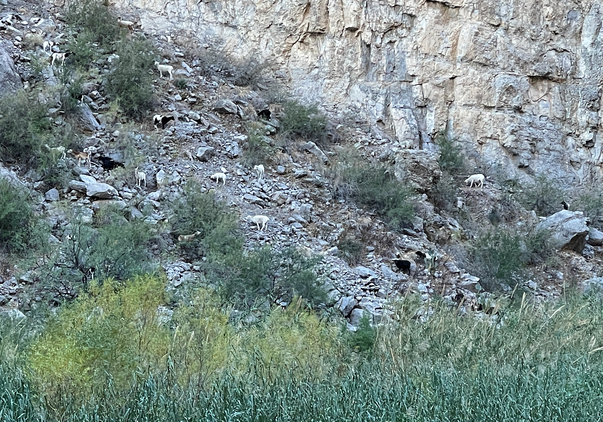
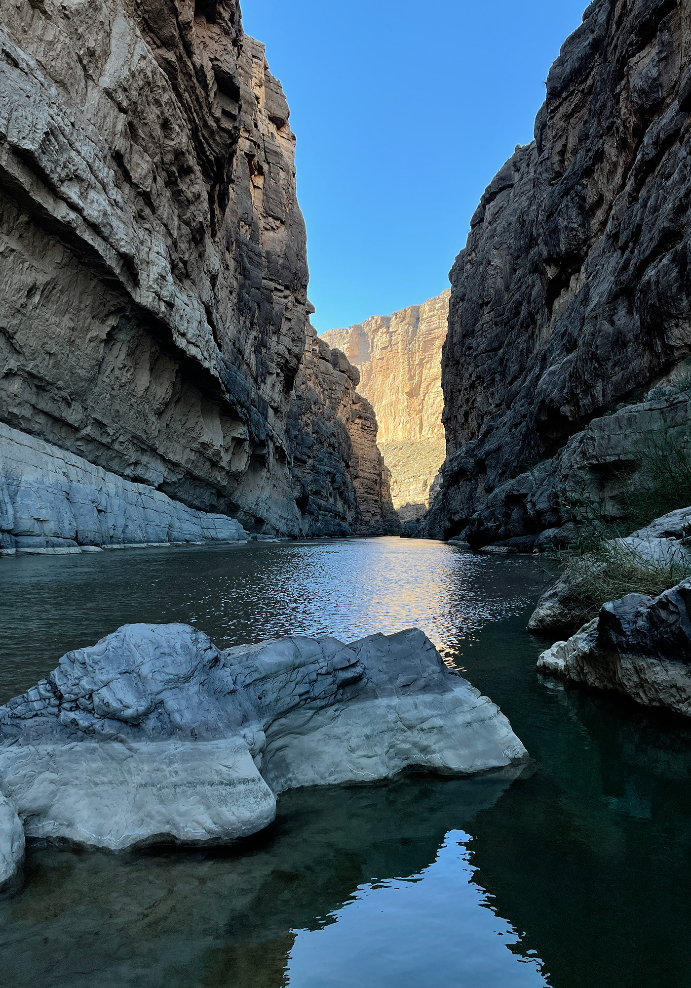
Beyond the coolness of the goats, following the trail to the end brought us to the most popular view in the park and so here are the requisite Santa Elena Canyon photos: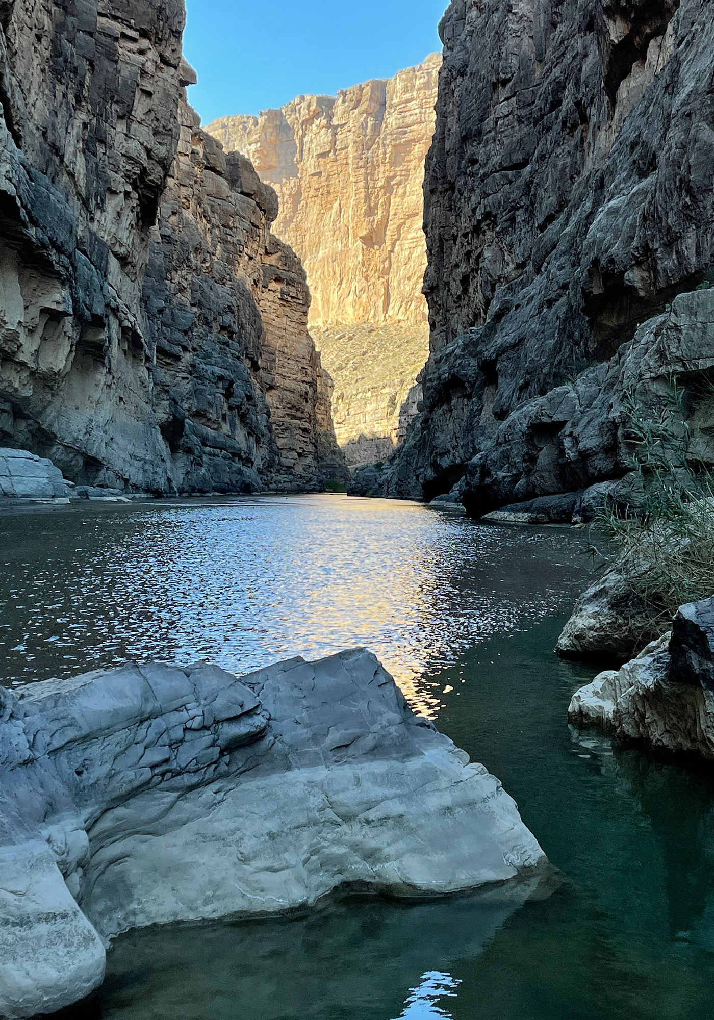
On the drive back from the canyon, now with the sun at our backs, we were able to get some photos of the Chisos Mountains: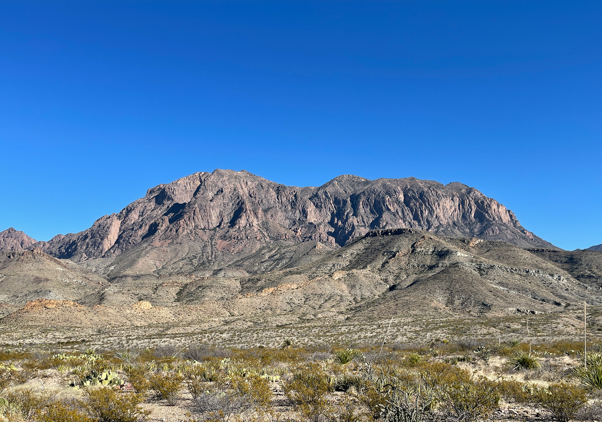
the Mule Ears: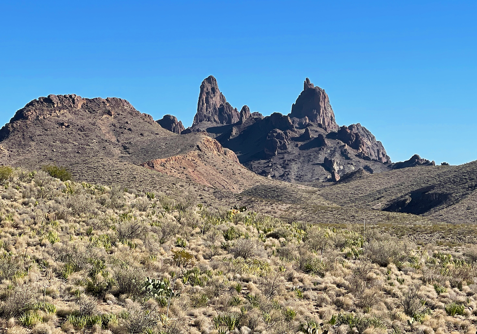
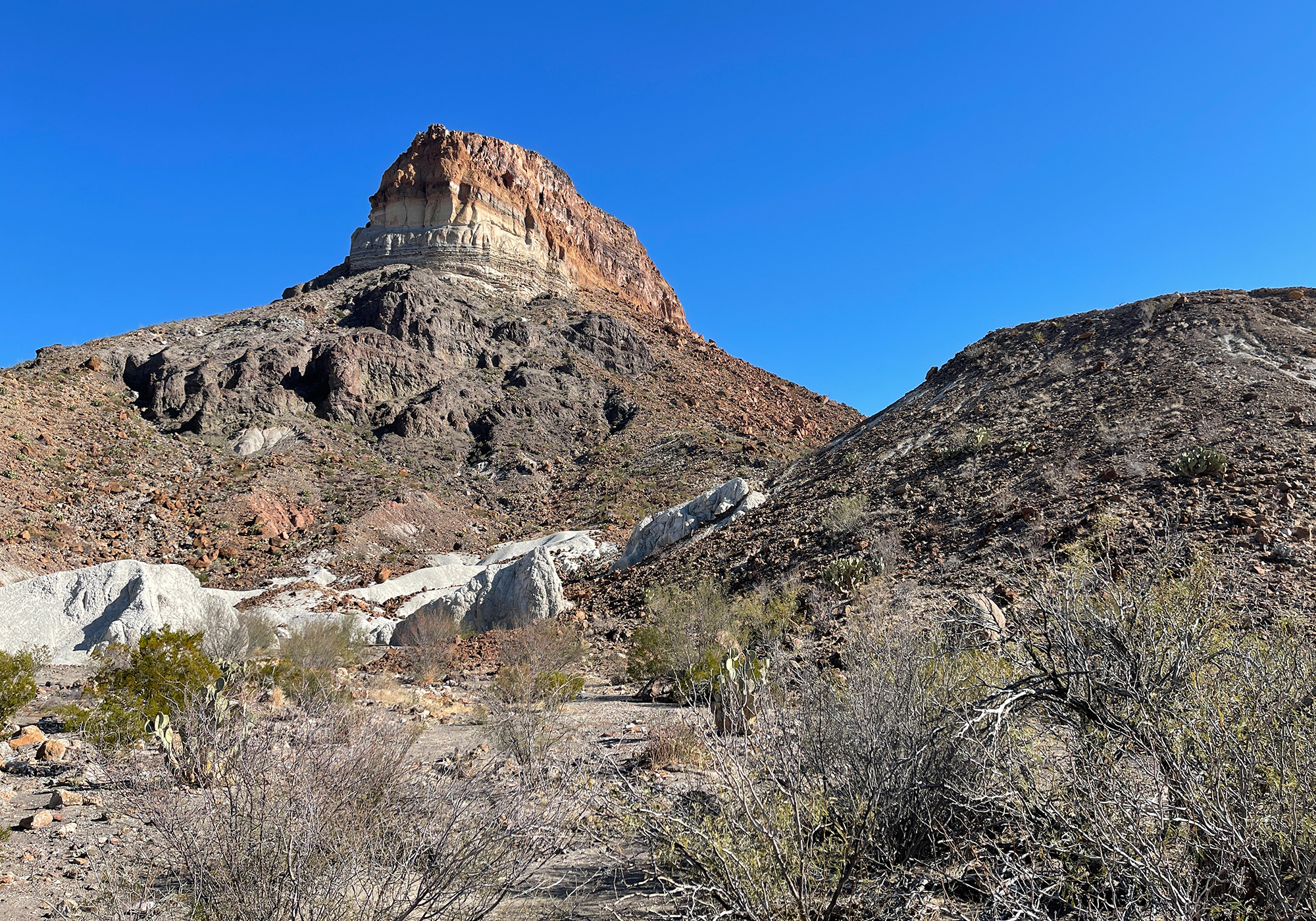
Goat Mountain, a volcanic dome with lava topping a thick pyroclastic deposit (the lighter banding) which in turn overlays older volcanic rock: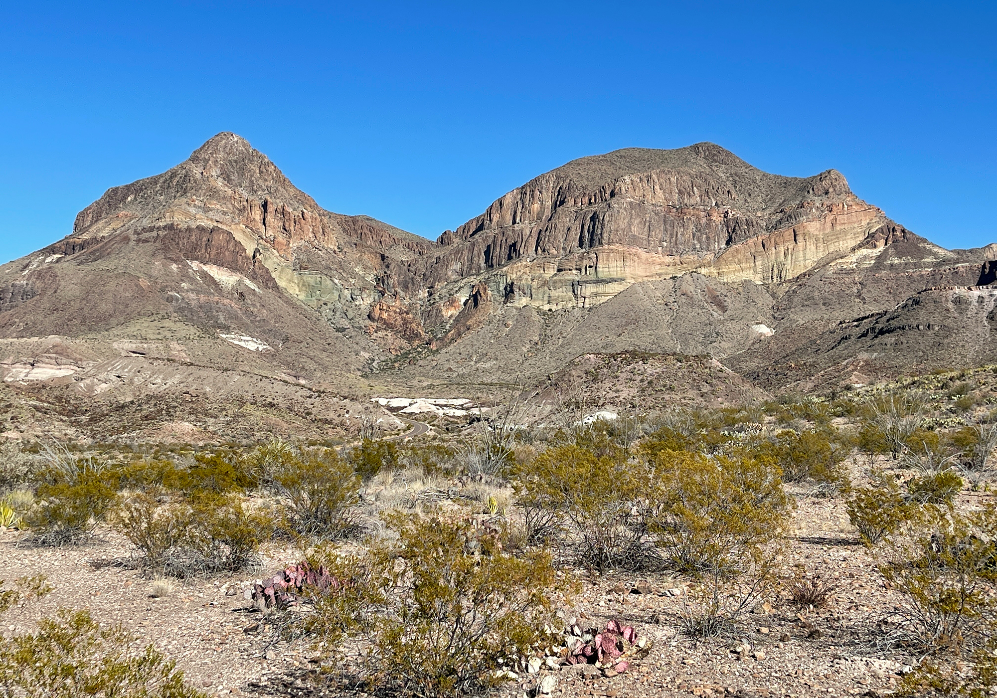
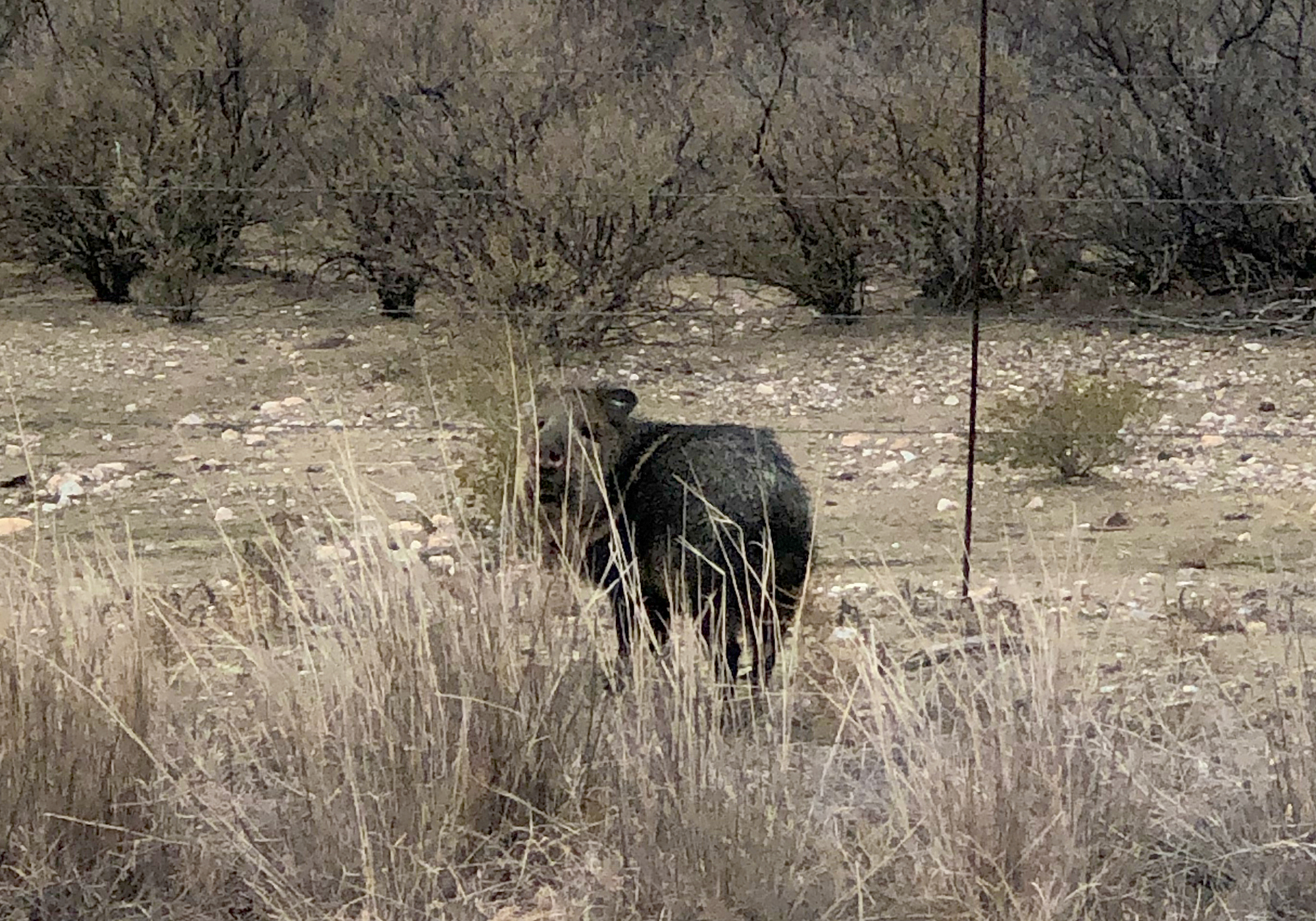
To top off our trip, just outside the park we saw a javelina (hav-a-lina or as I like to call them, a habinero) otherwise known as a peccary: