- Pre-vacation
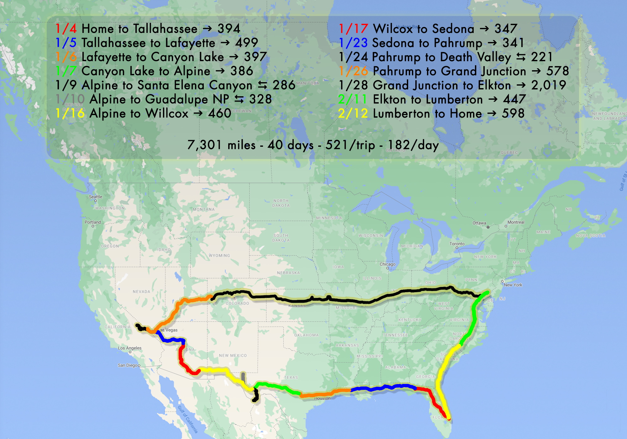
After our trip to Gatlinburg where we stayed in place for 3 weeks and in consideration of the “challenges” we had during our first outing where we moved to a new site (and usually a new state) each day, we’ve decided that the best way for us to approach these trips is for me to take RV and the animals out in advance and for Laura to fly out a few days later to meet up. If we move from place to place, we save the distance travel for the weekends. On the back end it works in reverse, Laura flies home and I follow a few days behind.This method greatly reduces the stress for both of us. Laura, who works in a connected and team oriented environment, can avoid the worry about connectivity and road noise (not to mention motion-sickness and trying to make a mouse stay where she puts it) and I can not panic every time there’s a bump in the road or a stretch of no signal on a road in the middle of nowhere. It also gives me a chance to drive some of the more scenic routes that Laura wouldn’t enjoy for the above reasons.
The only downside other than the added airfare, is that although I get to see a few more places and have the pets to myself (this is a good thing?) it does make it feel like the vacation hasn’t started until we’re all together and that’s why this post is titled Pre-vacation.
The pre-vacation objective for this trip: get to Texas which I was able to do in four days. Day one was a short drive to re-acclimate the animals to RV life. They actually do very well on long trips, even up to 8 hours on the road, but I think it’s good to let them “get their road-legs” and used to my saying when they can poop instead of going as they please. So this first day was a short 5-1/2 hours to a really nice campsite outside Tallahassee, the Coe Landing Campground. Situated beside Lake Talquin about 15 minutes from downtown, Coe Landing has just a few spots and appears to exist to serve folks that want to use the boat launch next door and fish for largemouth bass. This time of year it was just me and a couple of other rigs and I was able to get a very picturesque site on the water:

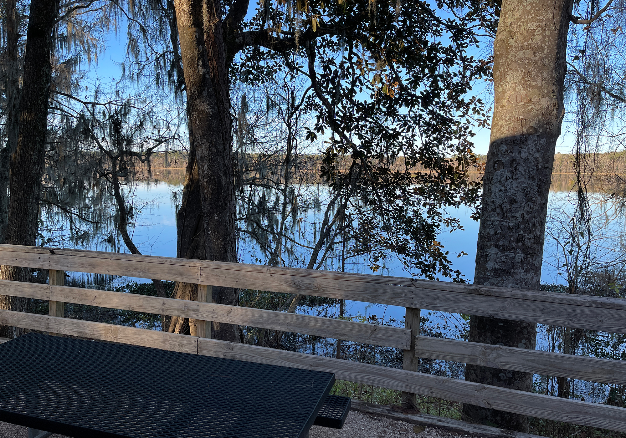
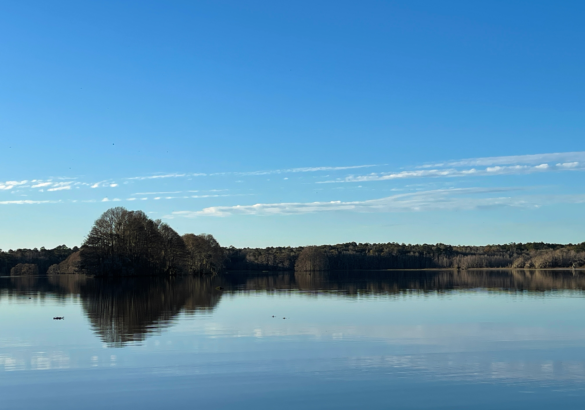
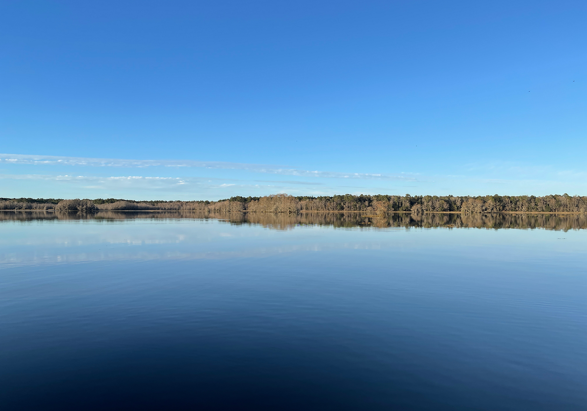
We awoke to perfectly calm water and temperatures in the 30’s. Even in that cold there was a hardcore fisherman bundled in a heavy coat heading out onto the steaming lake. It was a pretty cool (no pun) sight but I didn’t think to get a photo.The next day was a 7 hour drive to Lafayette Louisiana where we stayed at the convenient Lafayette KOA by the highway. Nothing to report here.
On Wednesday, after just six hours on the road, we made it to the Mystic Quarry Resort in Canyon Lake Texas. We’re in Texas! … deep in the heart of Texas … we’ve been in Texas for hours and we’re only half way through. It’s no wonder that they wanted to be their own country.
PS I’m mentioning the campground names because we’re going to start adding campground reviews to the blog. They’ll be on the menu somewhere… someday.
Also “The Cambridge Dictionary suggests that PS is the proper format in British English. The Cambridge Dictionary also says that P.S. (with periods after each letter) is the American English format.” I’m using the British version cause I can save two keystrokes and when you have re-compose, re-figure, and re-type as much as I do, every stoke counts 😜.
- Everybody sing!!
🎵 The stars at night are big and bright … deep in the heart of Texas 🎵 … or in this case the superior vena cava (depending on your point of view of course) and the stars may be bright but it’s so freakin cold at night that we haven’t set up the telescope to see how big they are!Laura flew into El Paso, rented a car, and headed down to meet us (this also has the added benefit of giving us some way to get around while we find the perfect vehicle to tow). We’ve made camp for the week at the Lost Alaskan RV Resort – the current owners are from Idaho – in the town of Alpine which is between our next two sight seeing destinations, Big Bend National Park, one hundred miles south and Guadalupe Mountains National Park, one hundred fifty to the northwest.
Alpine is a small town with a population of around 6,000 so we when we started looking for some entertainment it wasn’t with high expectations. Still, it’s also a college town, being home to Sul Ross State University, so we figured there would be more than nothing. What we found was Railroad Blues, a funky live music, beer, liquor and wine joint that has hosted acts from Arlo Guthrie to The Red Elvises. There are autographed band photos papering a couple walls and kitschy art everywhere so it was with no surprise that the act we heard that night goes by the name of “Jeb Spacepilot and the Snowglobe of Truth”. He’s probably an interesting guy but we didn’t stay to speak to him. Jeb played mostly grungy music and liked to talk about things that were different on “his planet”.
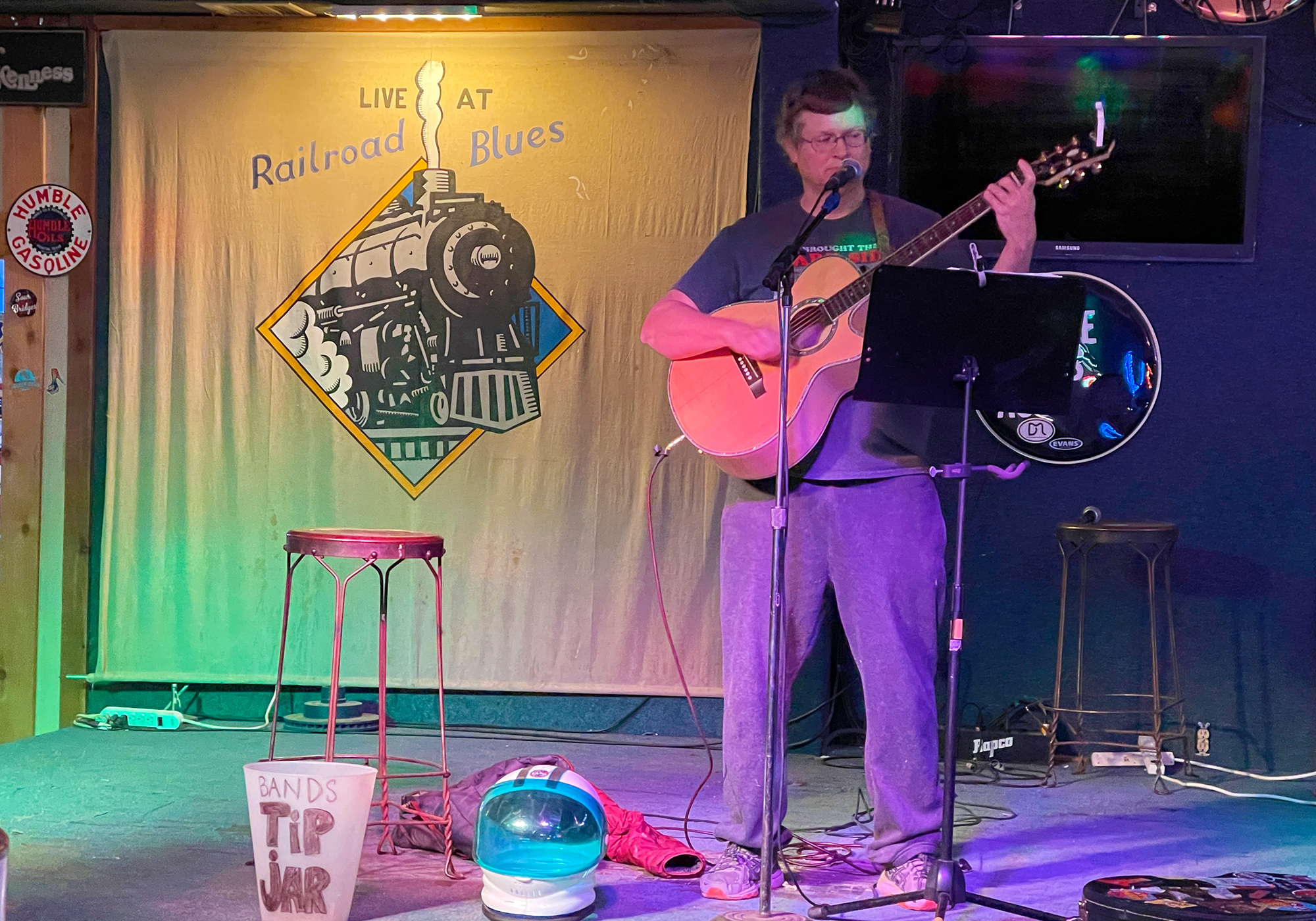
Dessert that night came from a food truck out front: the buffalo wings were good but the fries were soggy and both were served without napkins – come on guy, you’re selling finger food! - Big Bend National Park
36 down, 27 to go and here’s Polkadot presenting the latest catch: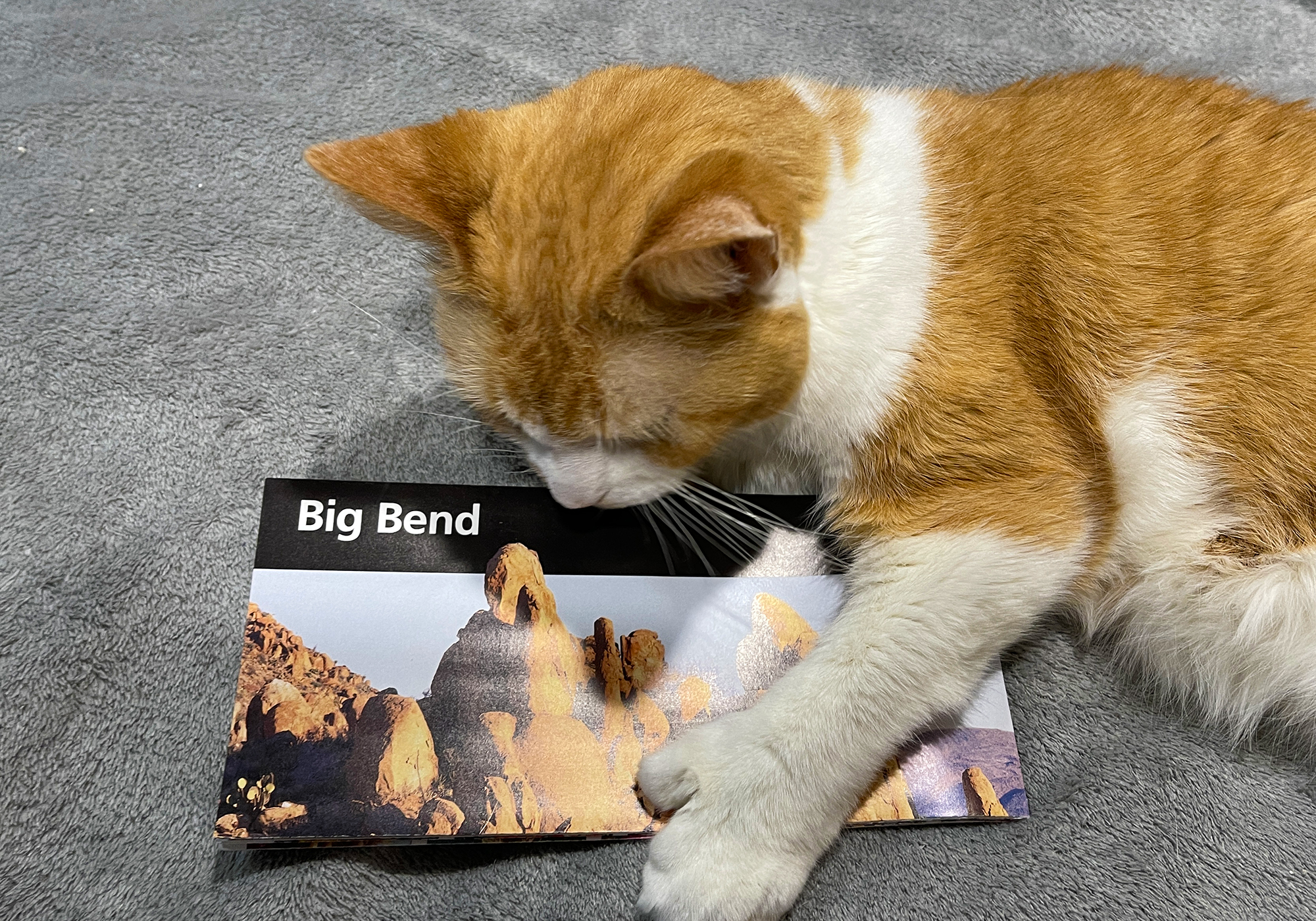
We pointed the car towards Mexico and headed south for the hundred mile drive to Big Bend. The temperature when we left was in the 30s and half way there the clouds closed in reducing the visibility to a few car lengths.
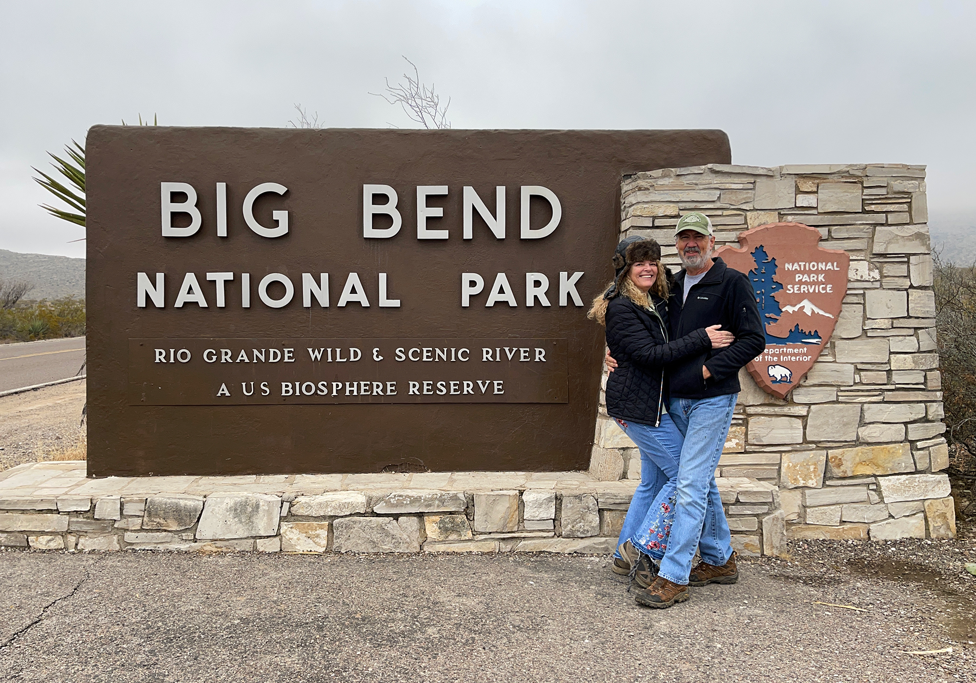
We were starting to get concerned but when we got past the park boundary and gained a little altitude, we rose above the fog and it turned into a beautiful day with a deep blue cloudless sky.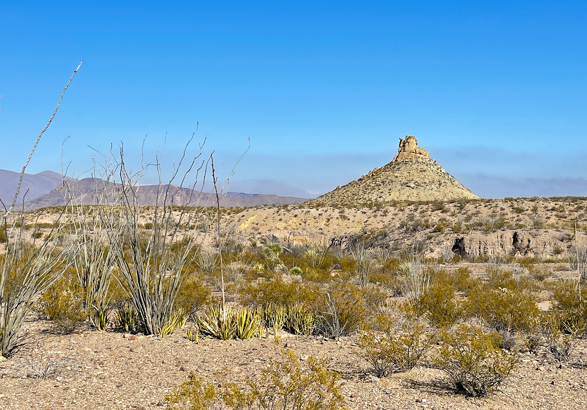
Although we’re very familiar with the green varieties of Prickly Pear found throughout the Southwest, this is the first time we’ve encountered (or at least noticed) the purple variety (Opuntia macrocentra). This cactus dotted the landscape everywhere we went in Big Bend and stood out quite distinctly against the usual brown and green of the desert. Apparently the purple color becomes deeper with the lack of rainfall.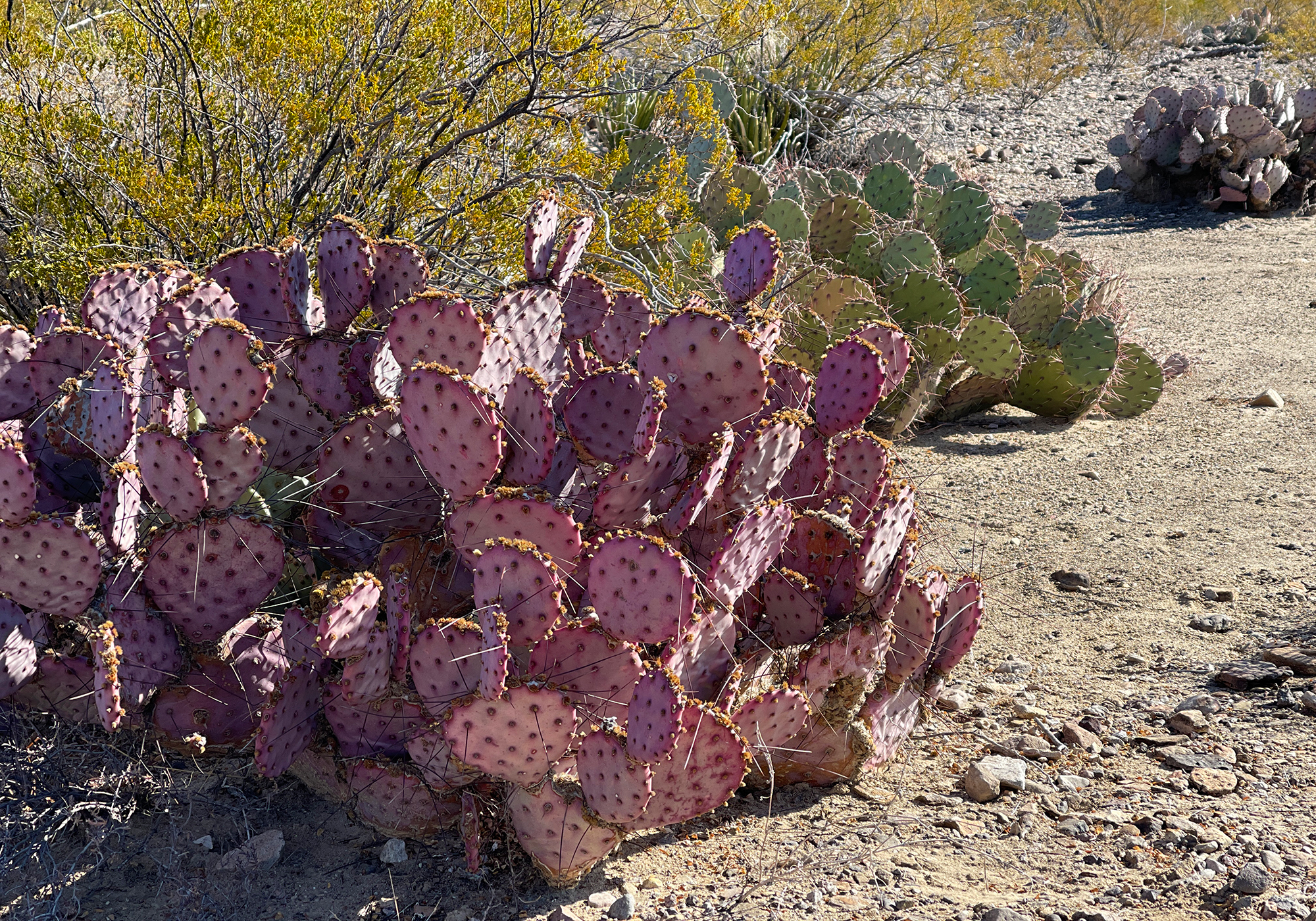
and here’s one in front of a shapely but rather dead Ocotillo (Fouquieria splendens) – when alive, the Octillo looks more cactus-like but it’s actually a succulent related to the blueberry.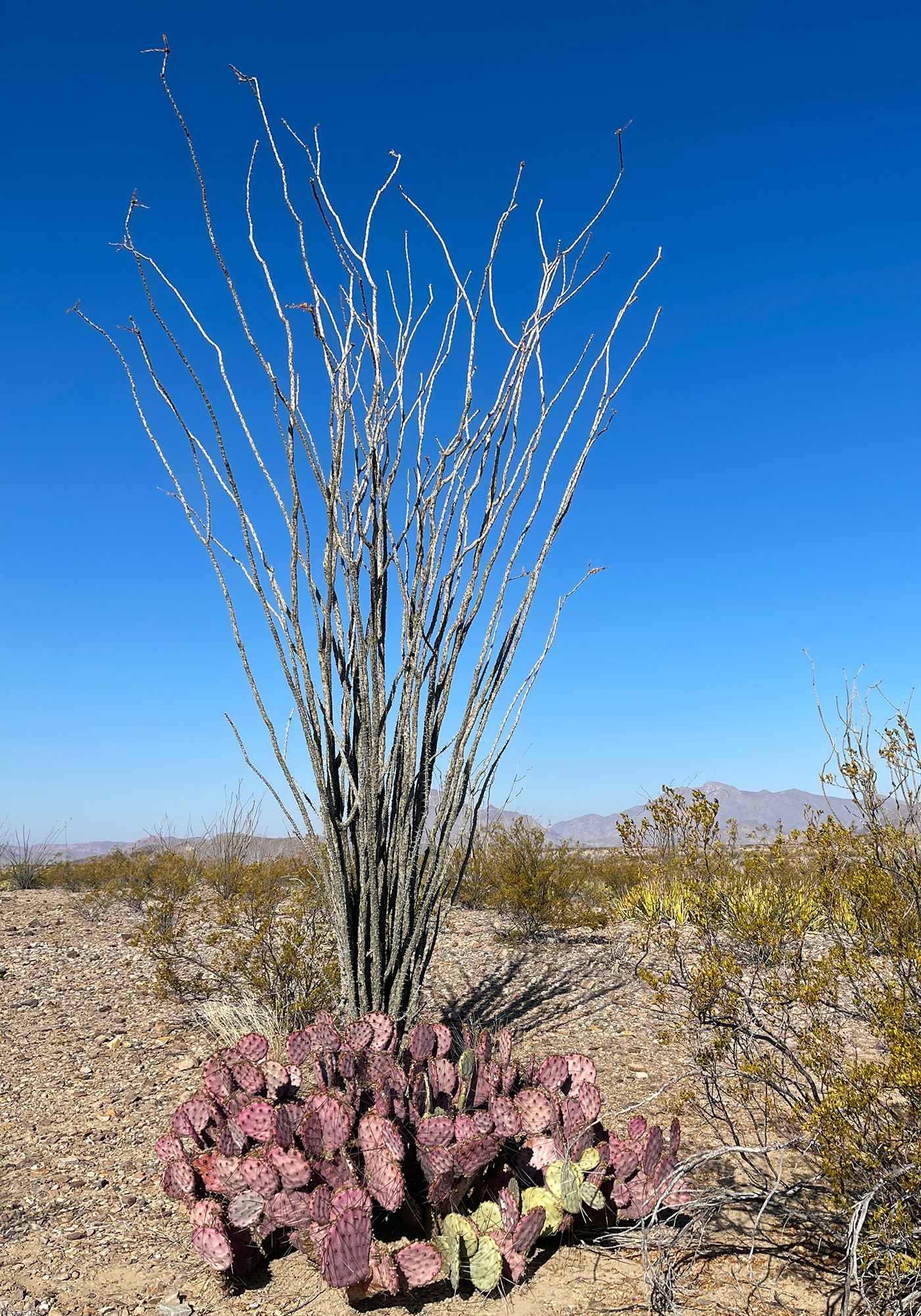
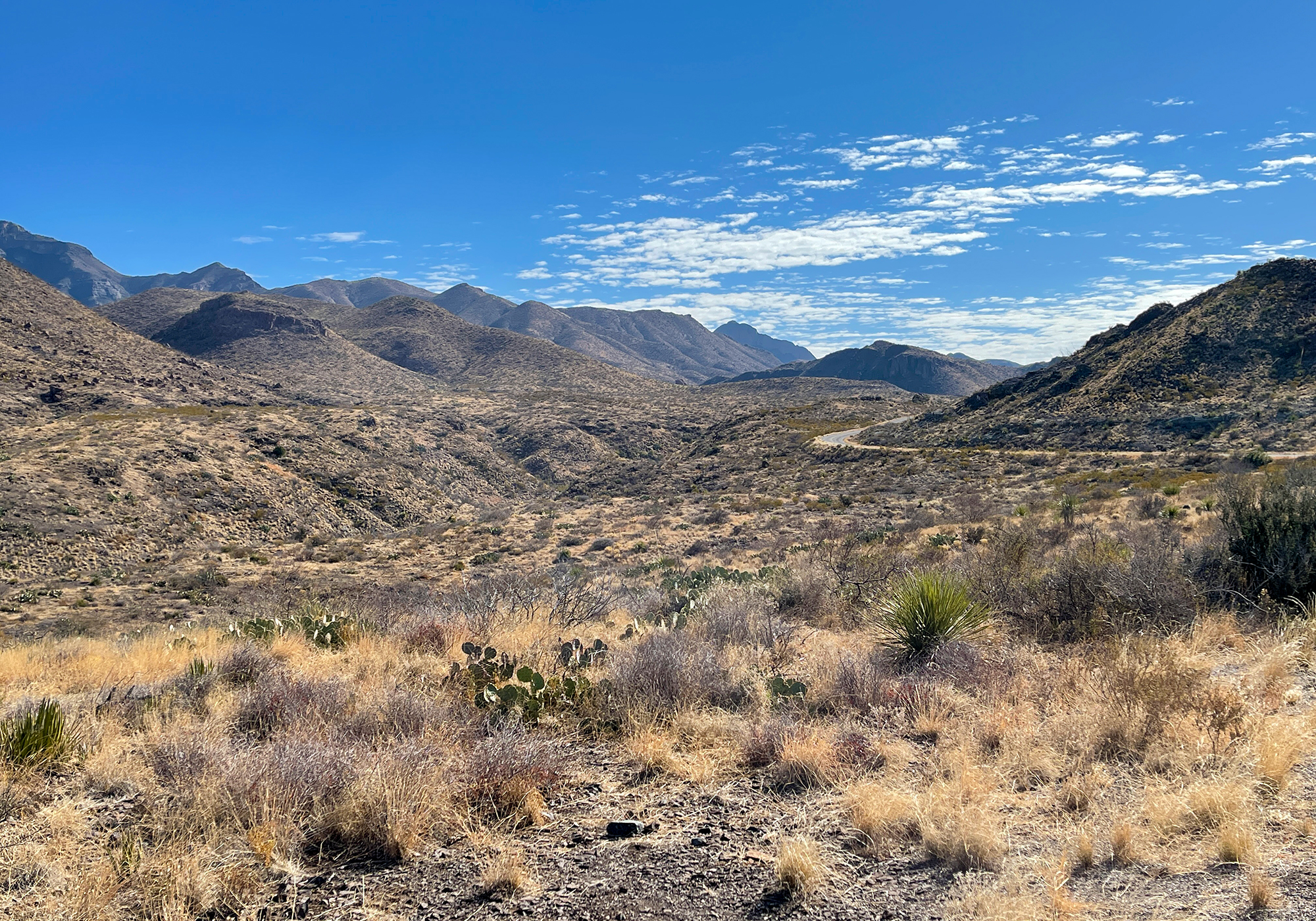
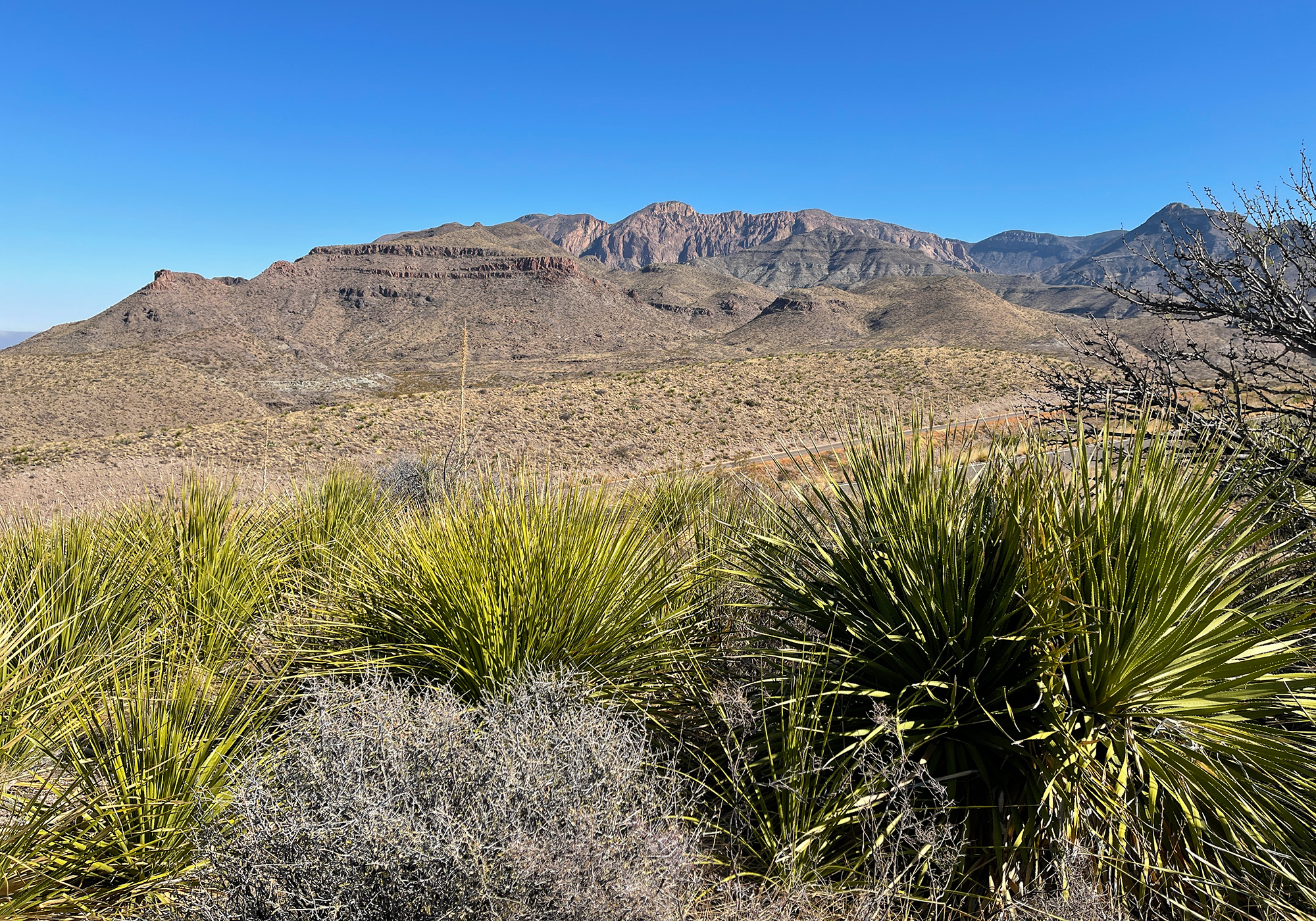
Big Bend has one main paved road that in one direction goes to the Rio Grande Village, a border station, and access to Mexico and a bunch of touristy stuff and in the other direction skirts the base of the Chisos Mountains and ends at the Rio Grande as it enters the beautiful Santa Elena Canyon. We chose the canyon which you can clearly see here on the horizon with the arrow pointing at it’s 1,500′ high cliffs: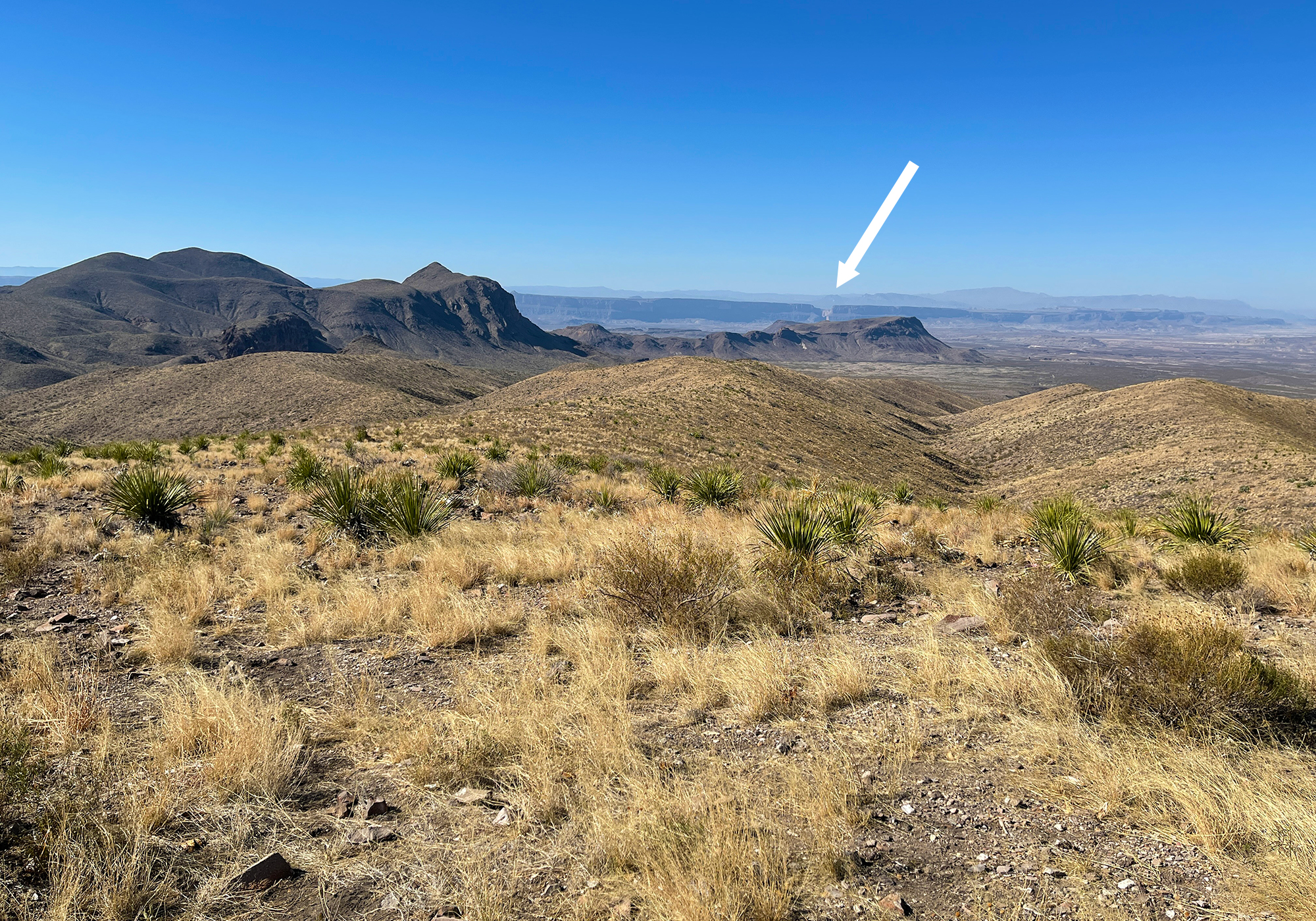
or a little better here: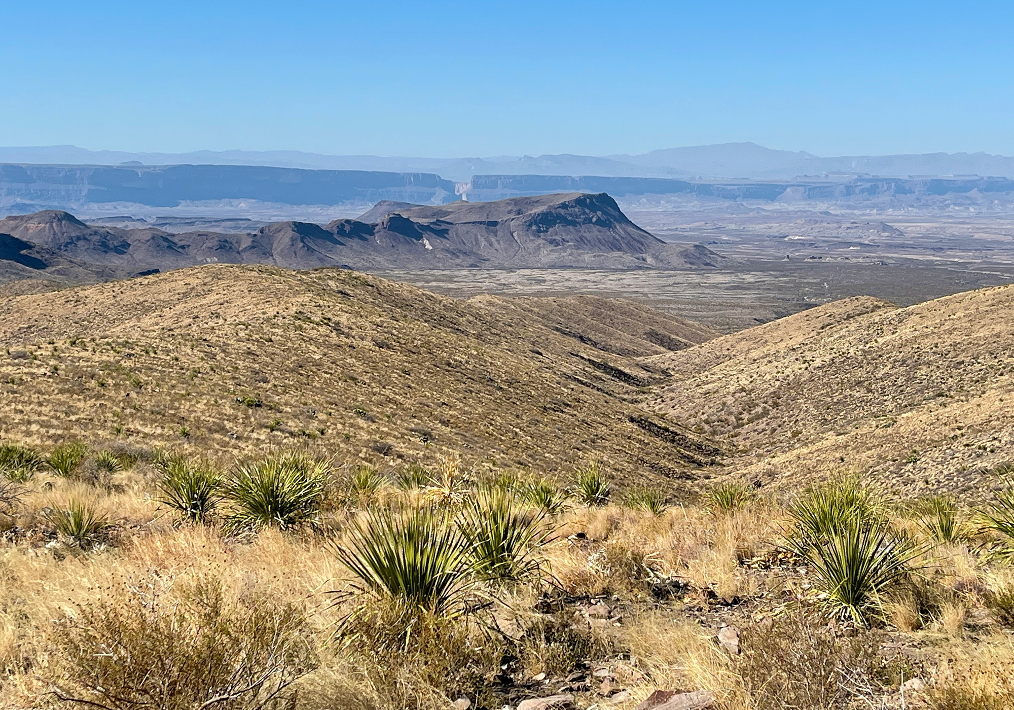
and this is the Rio Grande as it flows towards the canyon: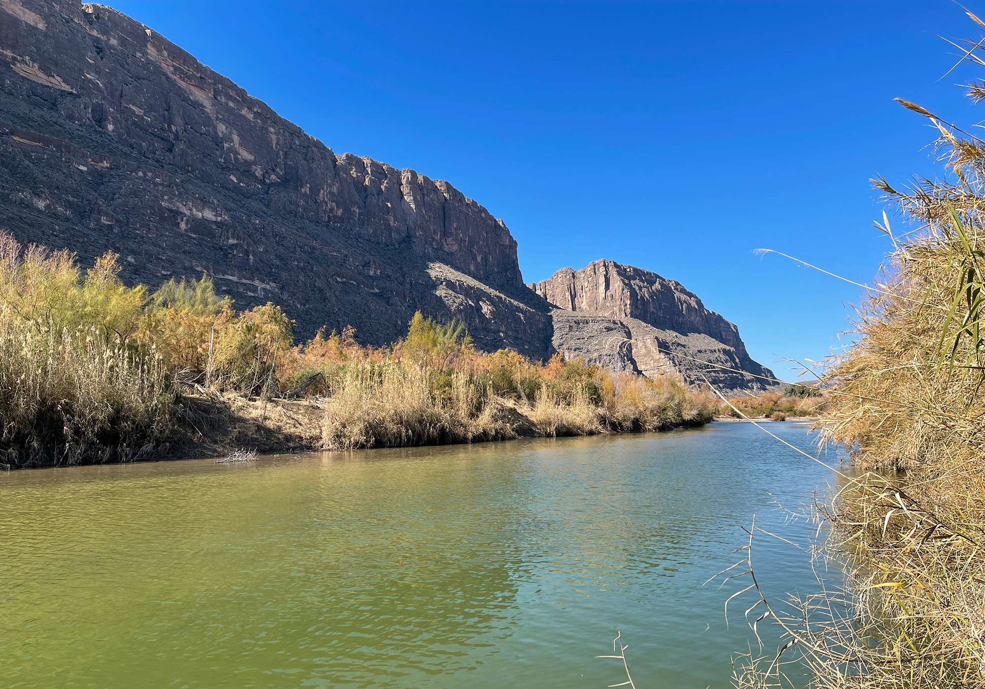
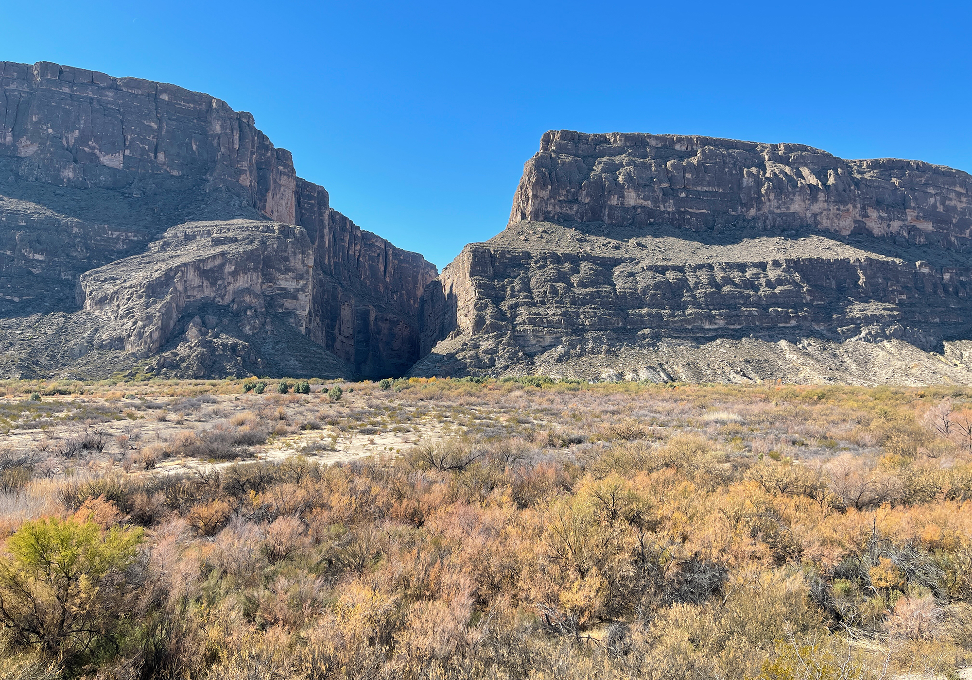
and here’s the Rio Grande as it enters the canyon: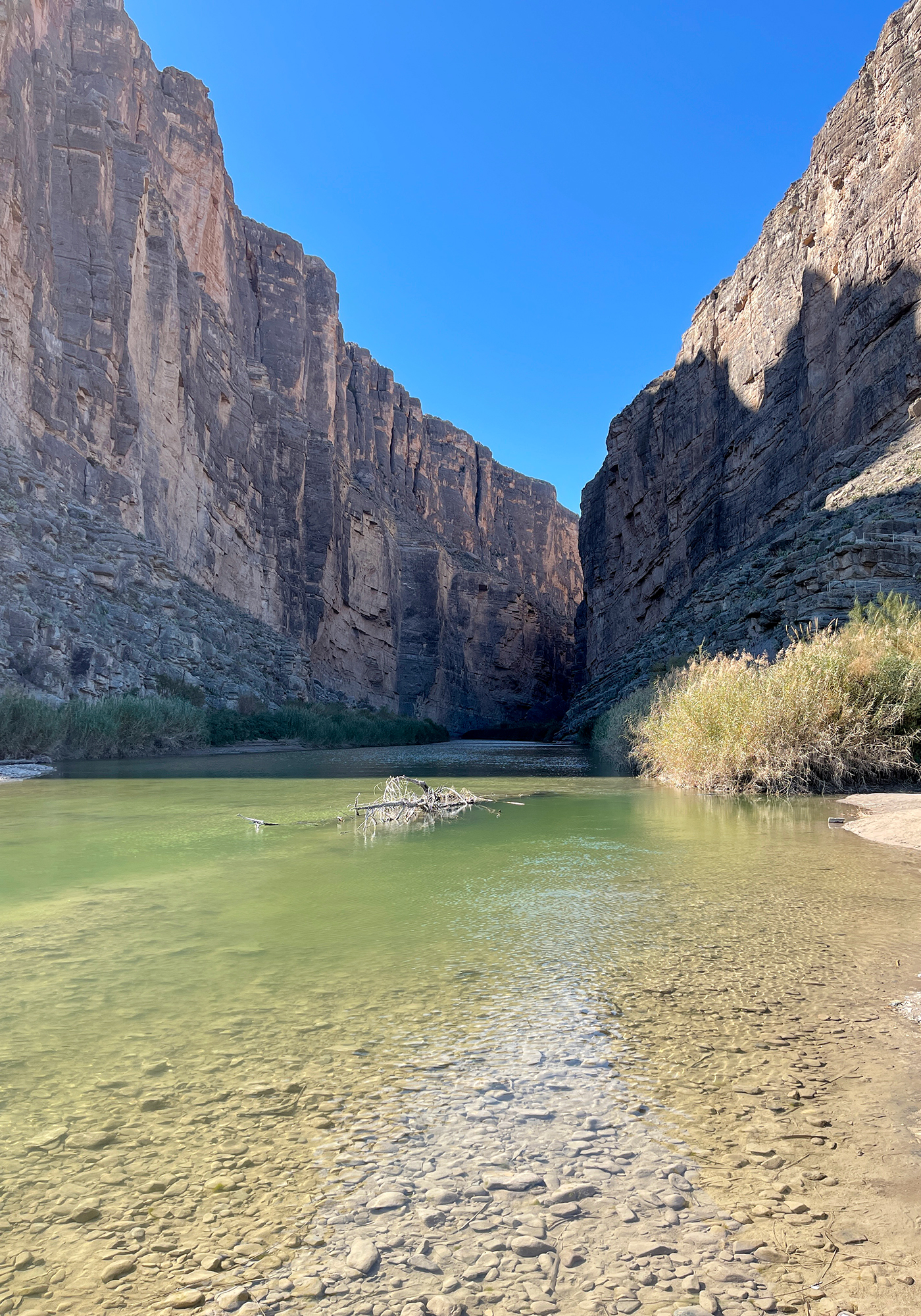
the walls on the left are Mexico. The border is defined as the middle of the deepest part of the channel.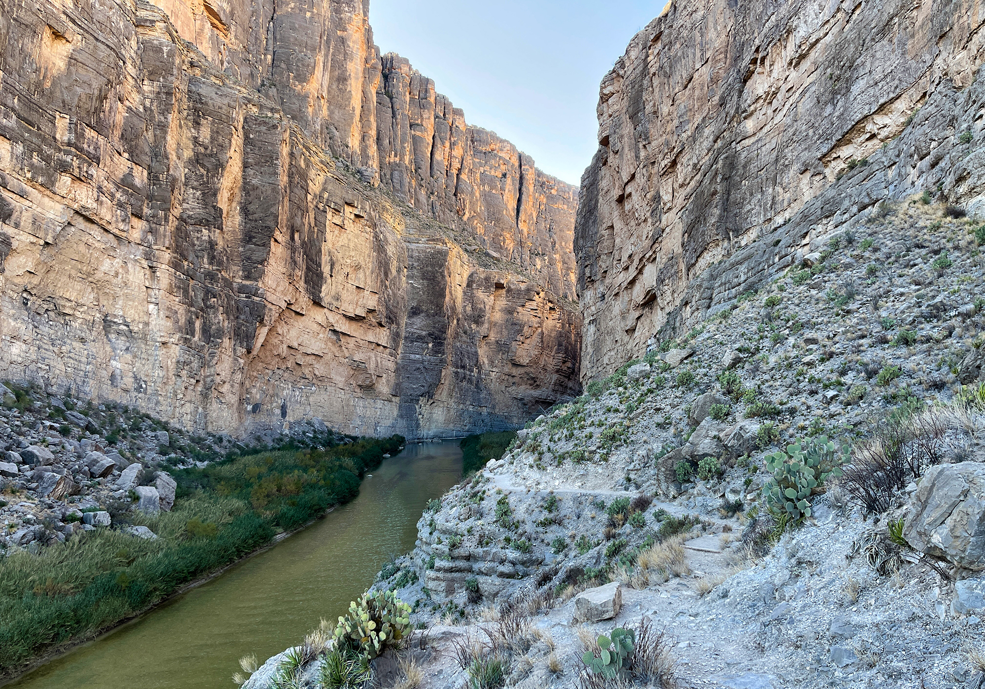
A short trail leads into the canyon and we each took a turn since we had the dogs with us and the Park Service in their wisdumb bans rather then regulates dogs on the trails in Big Bend. A little way along the trail we began to hear the sounds of goats bleating on the opposite side of the river and and as we went further along and passed them, their sounds could be heard echoing down the canyon. It was cool and kind of eerie and definitely an experience that will stay with us.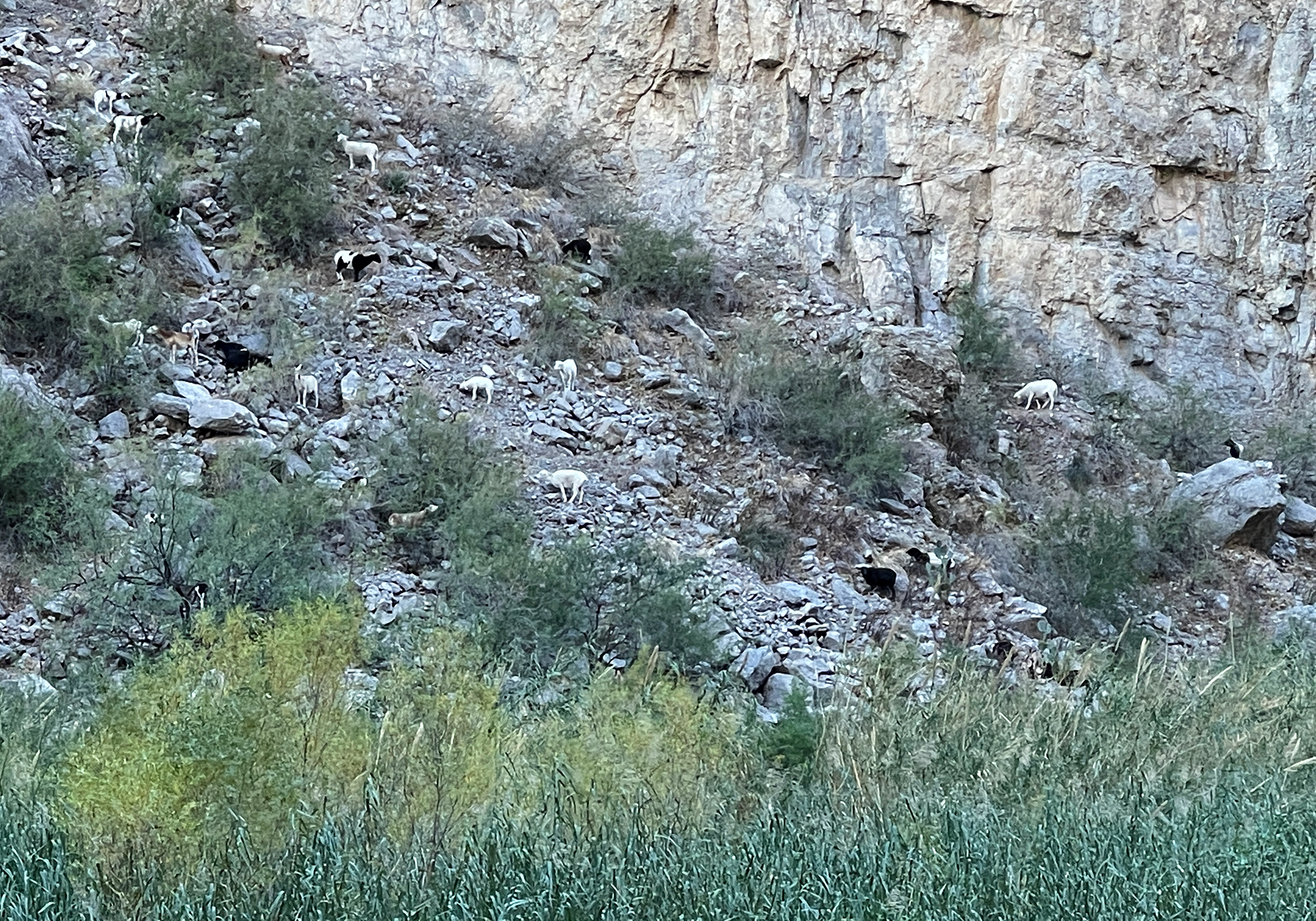
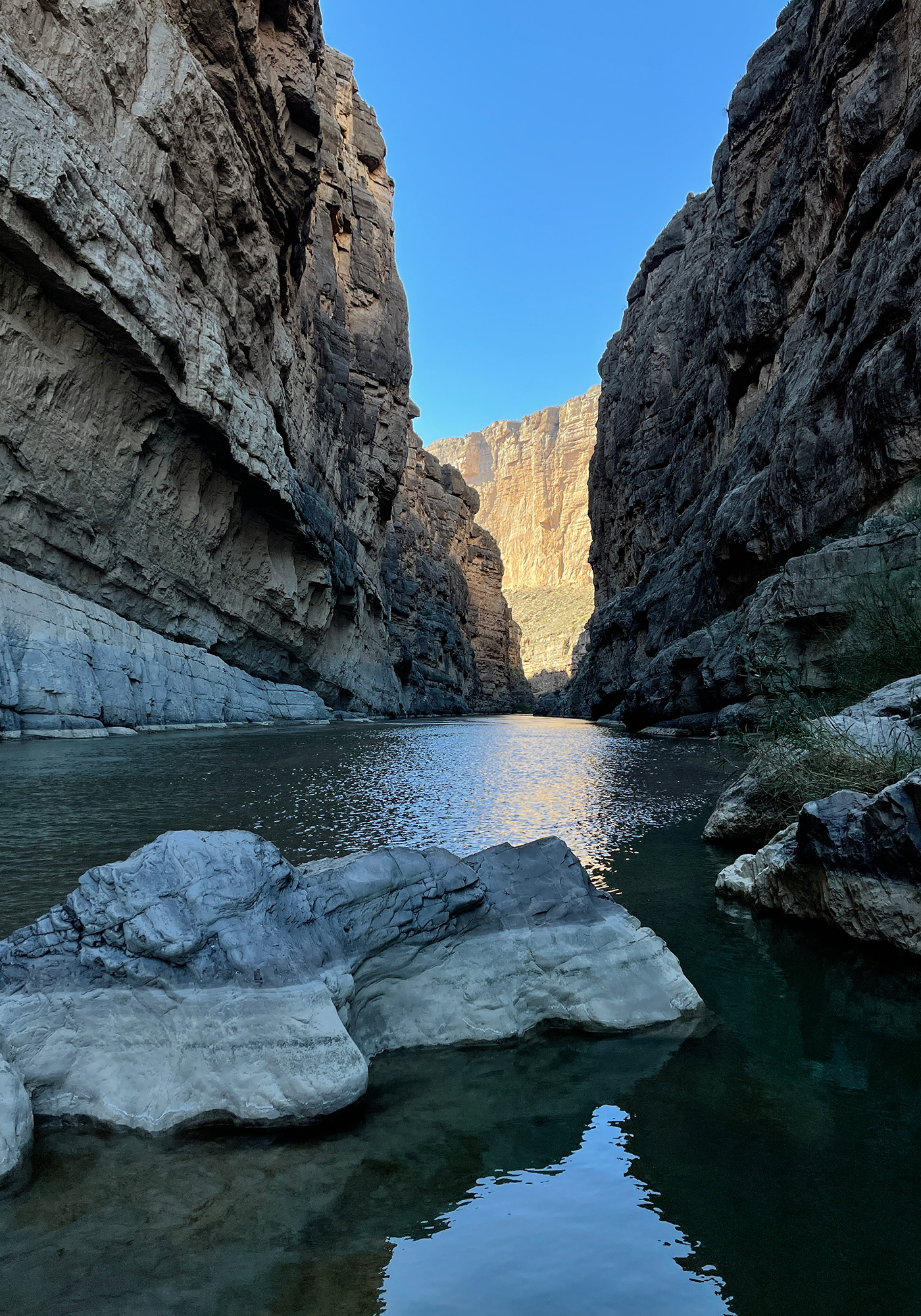
Beyond the coolness of the goats, following the trail to the end brought us to the most popular view in the park and so here are the requisite Santa Elena Canyon photos: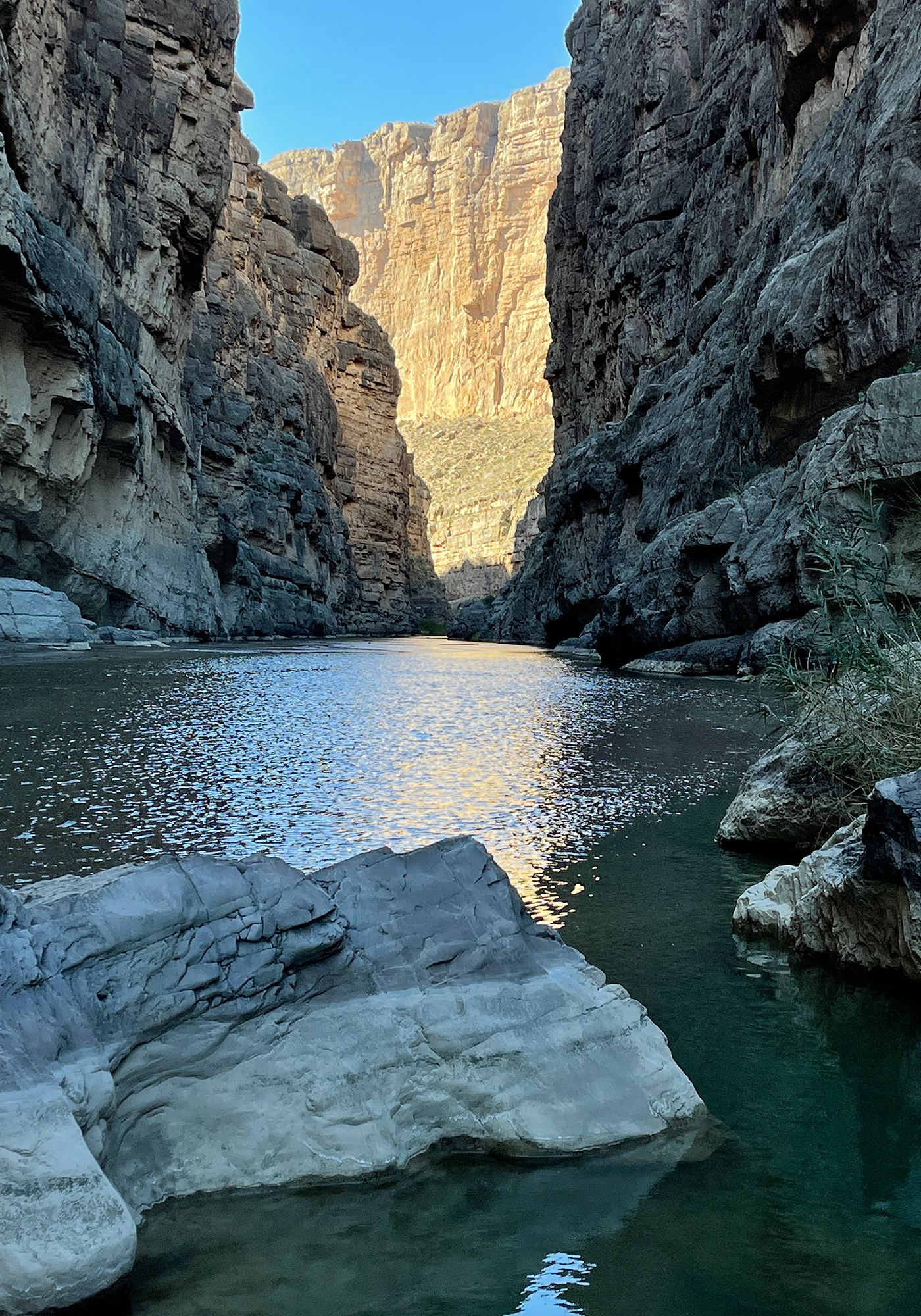
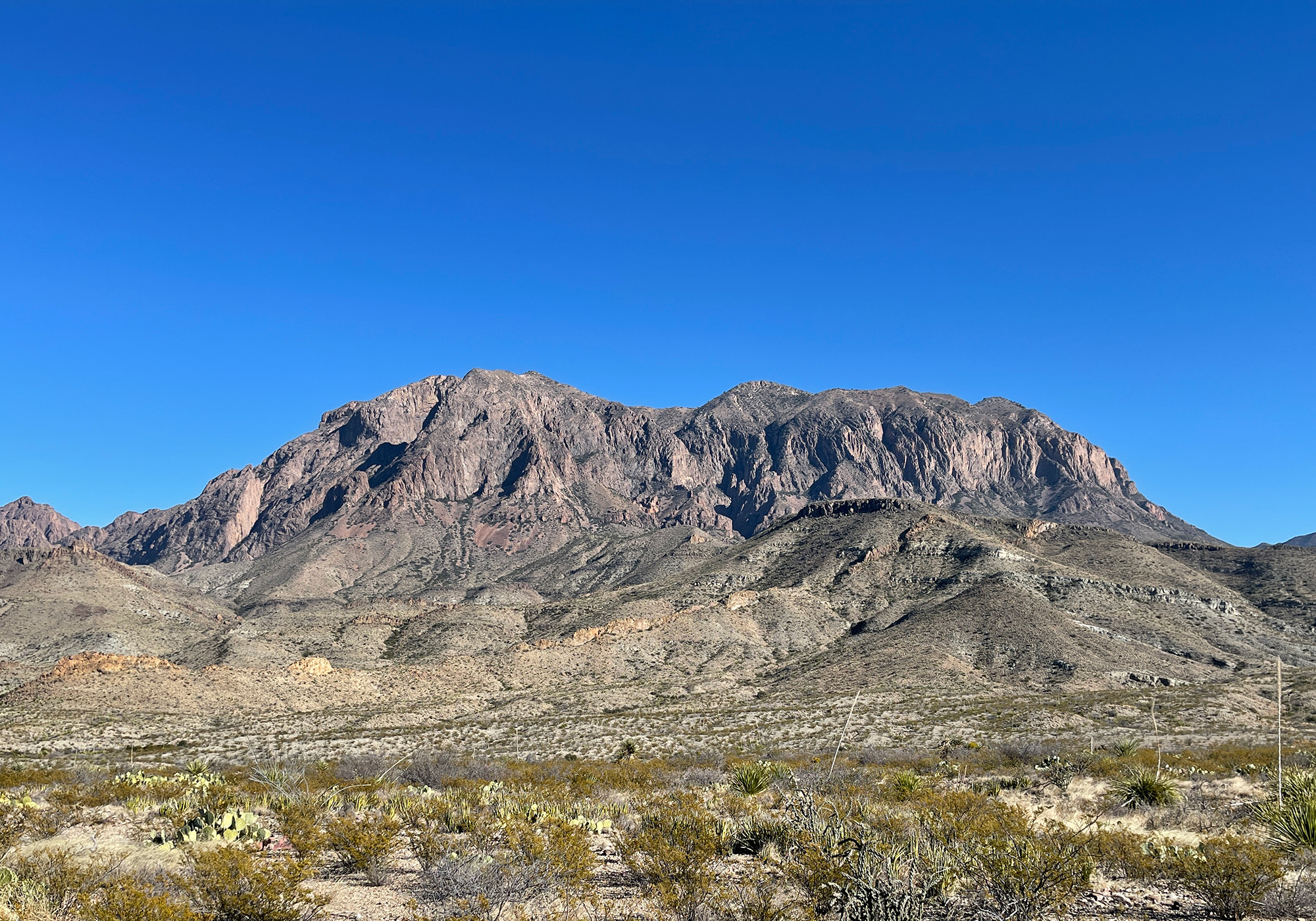
On the drive back from the canyon, now with the sun at our backs, we were able to get some photos of the Chisos Mountains:
the Mule Ears: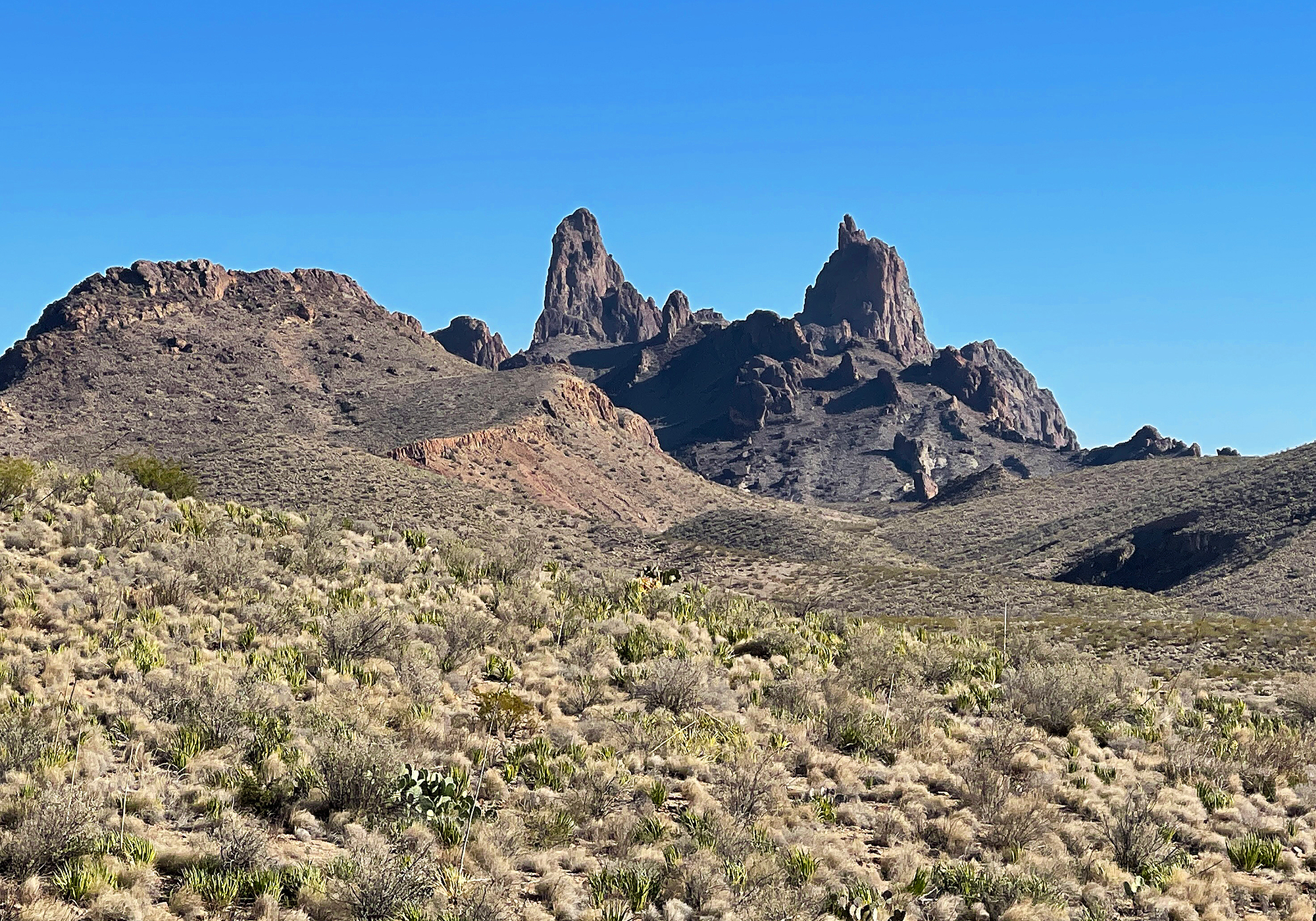
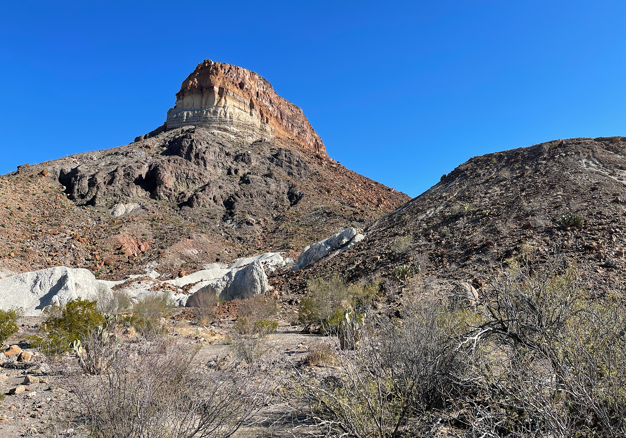
Goat Mountain, a volcanic dome with lava topping a thick pyroclastic deposit (the lighter banding) which in turn overlays older volcanic rock: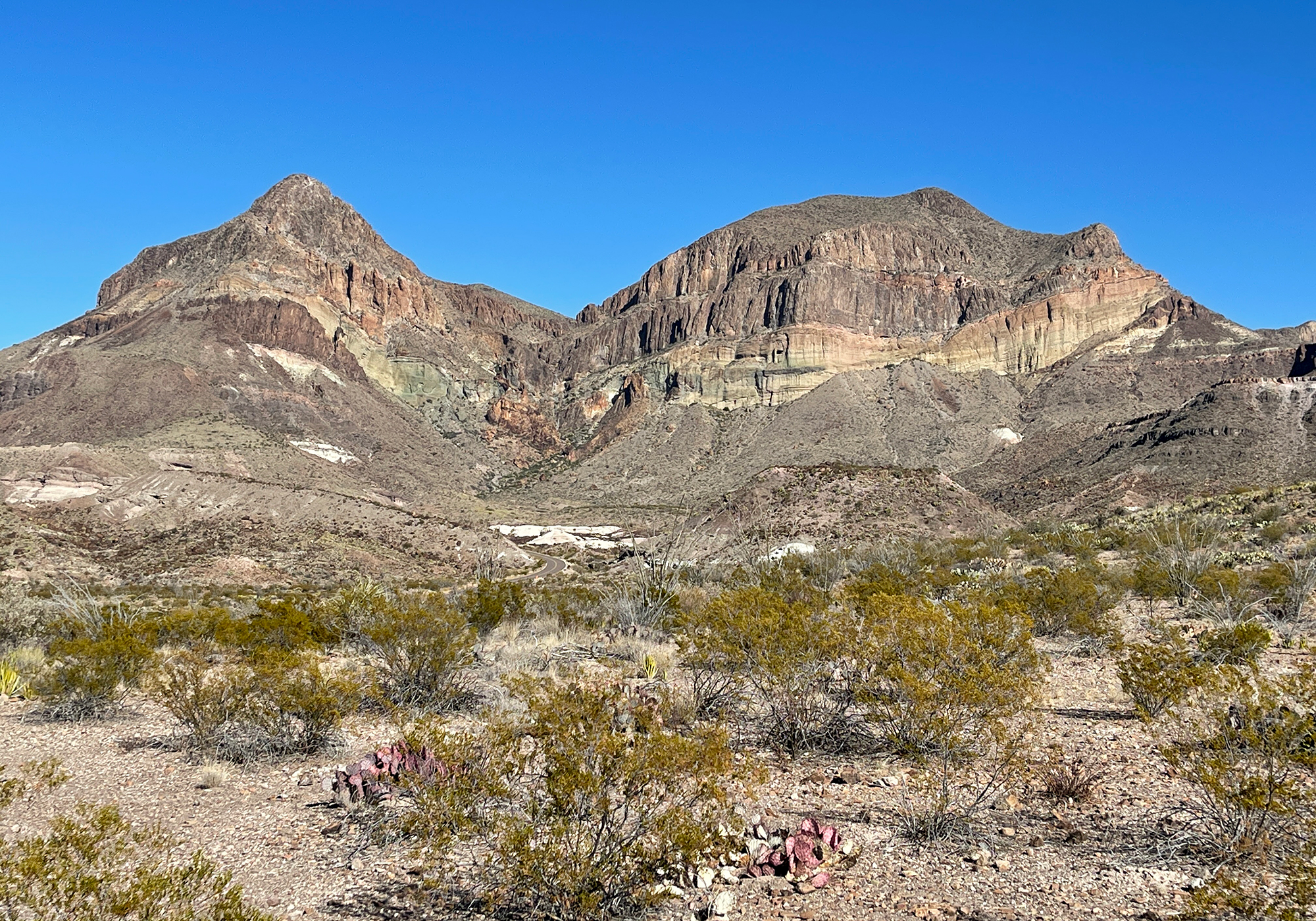
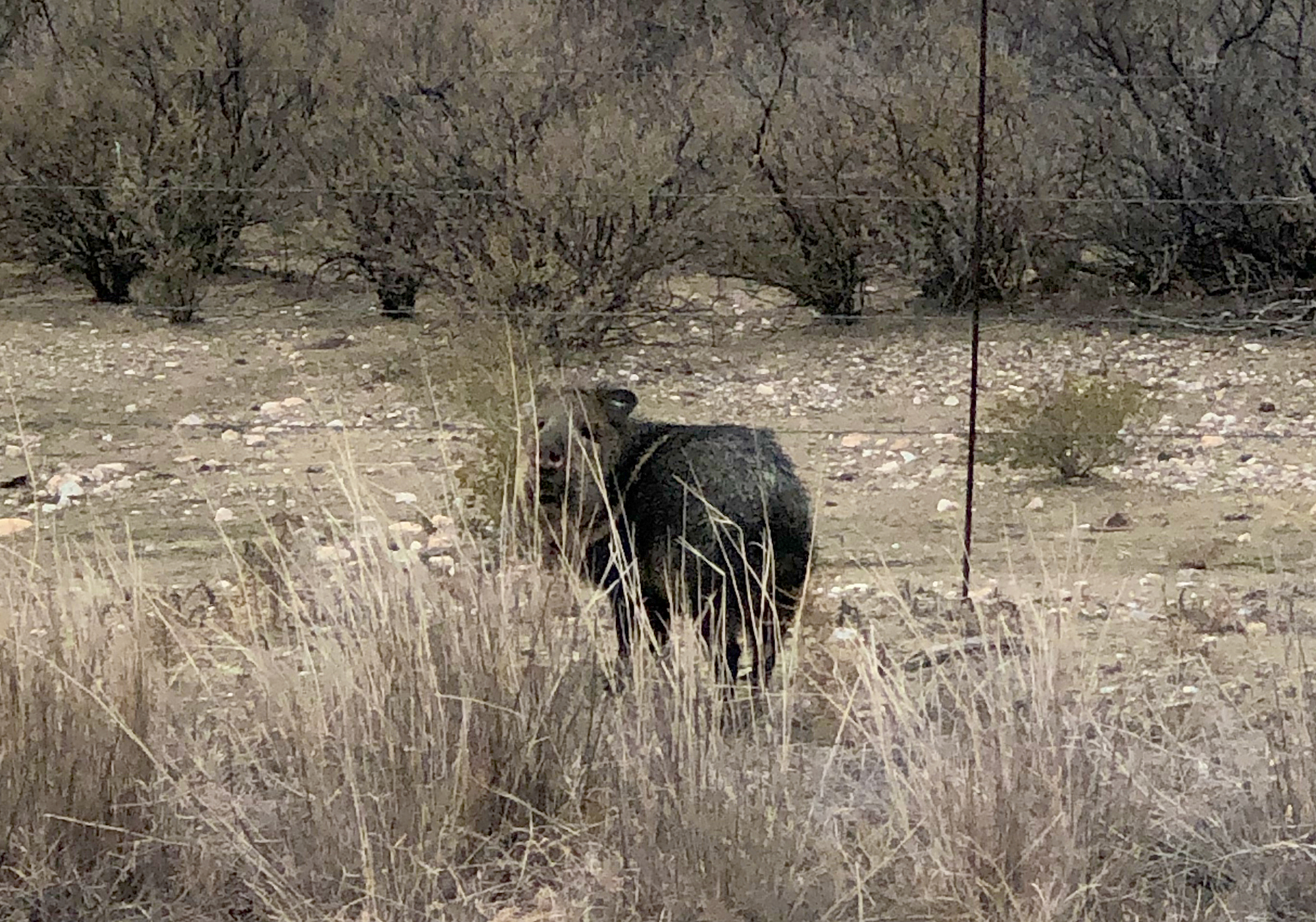
To top off our trip, just outside the park we saw a javelina (hav-a-lina or as I like to call them, a habinero) otherwise known as a peccary:
- Marfa & Guadalupe Mountains National Park
To get to Guadalupe from Alpine, you go through a town called Marfa. Marfa is known for being an artsy town and indeed we found several examples on a quick drive through such as Truckland: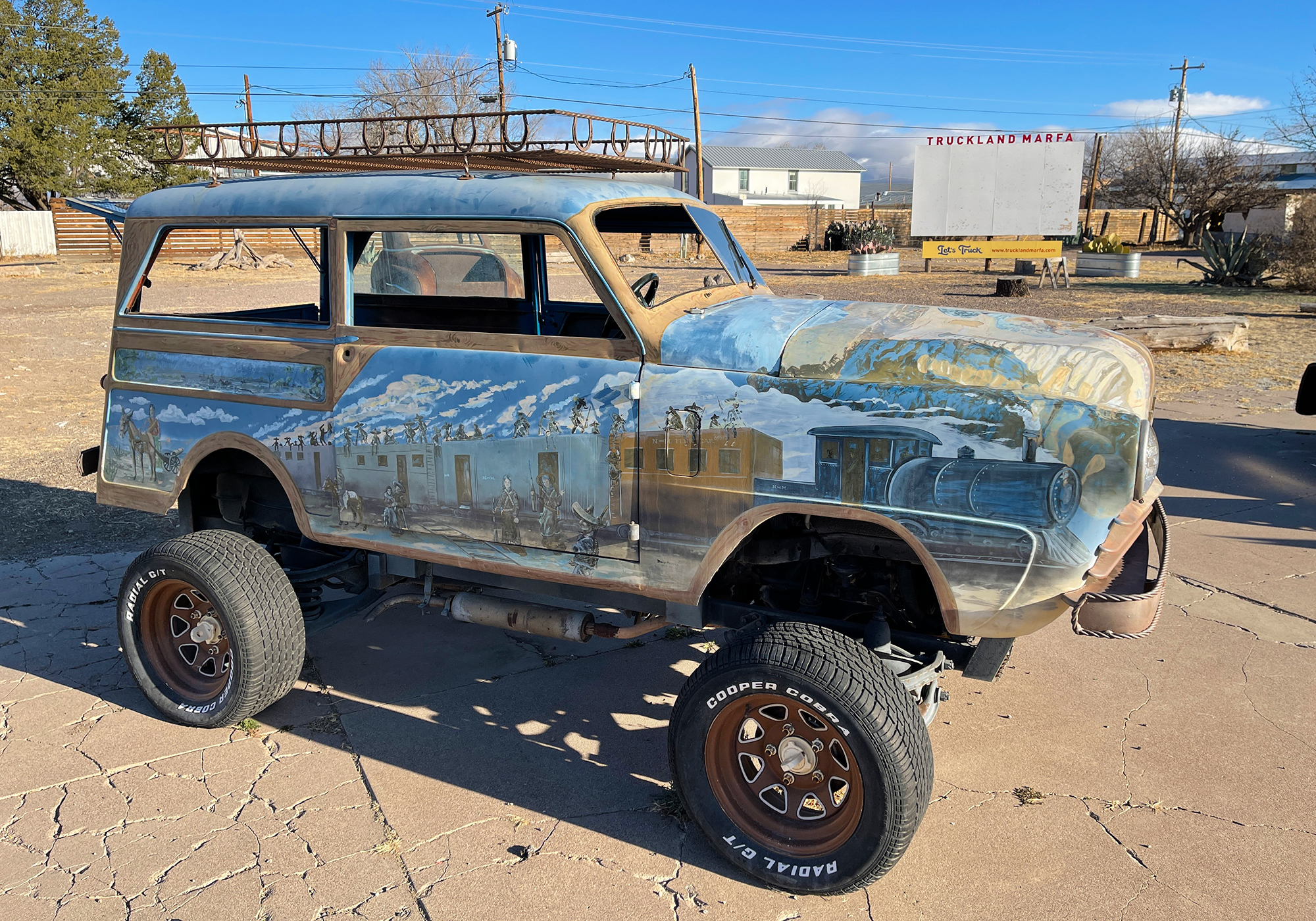
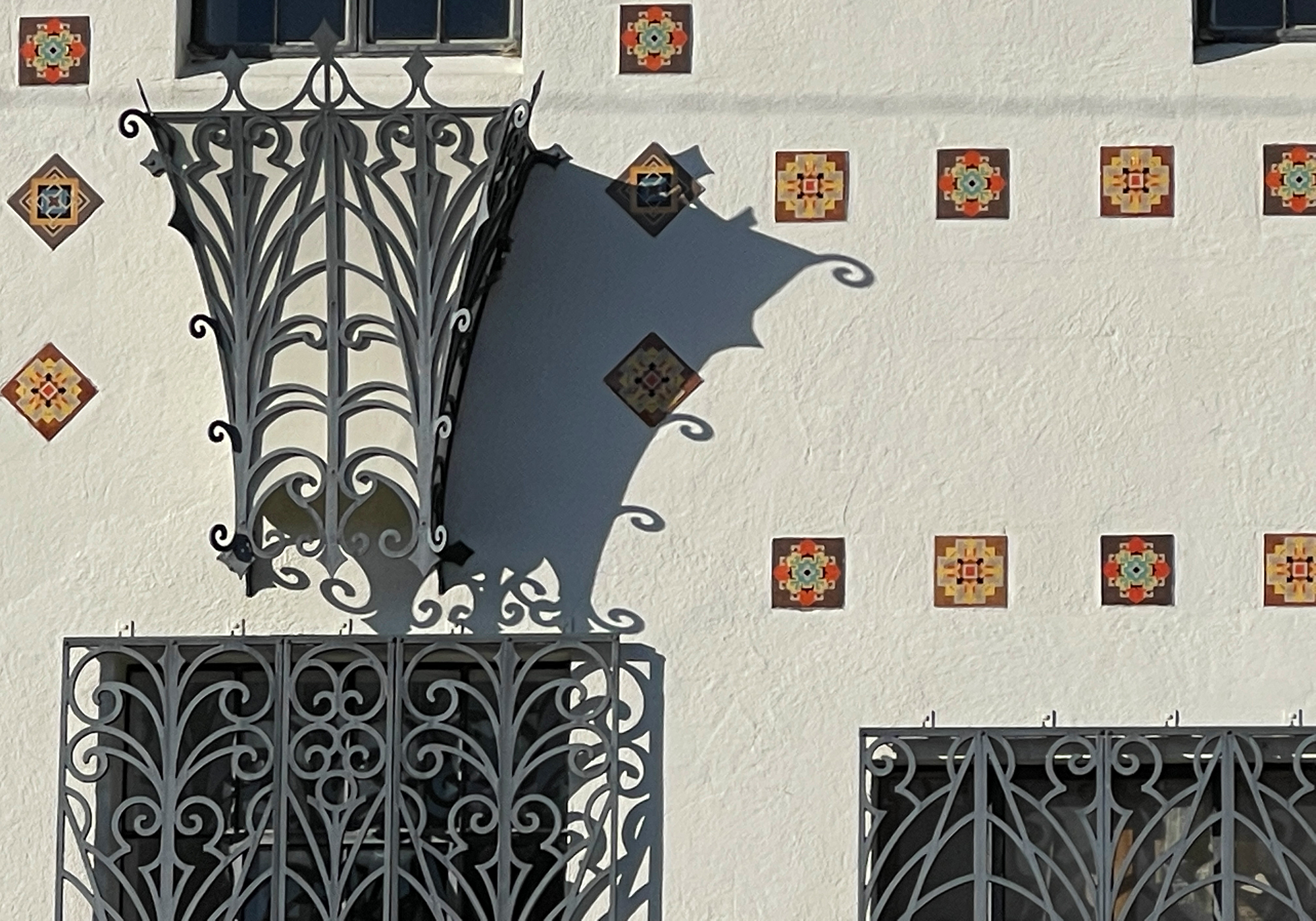
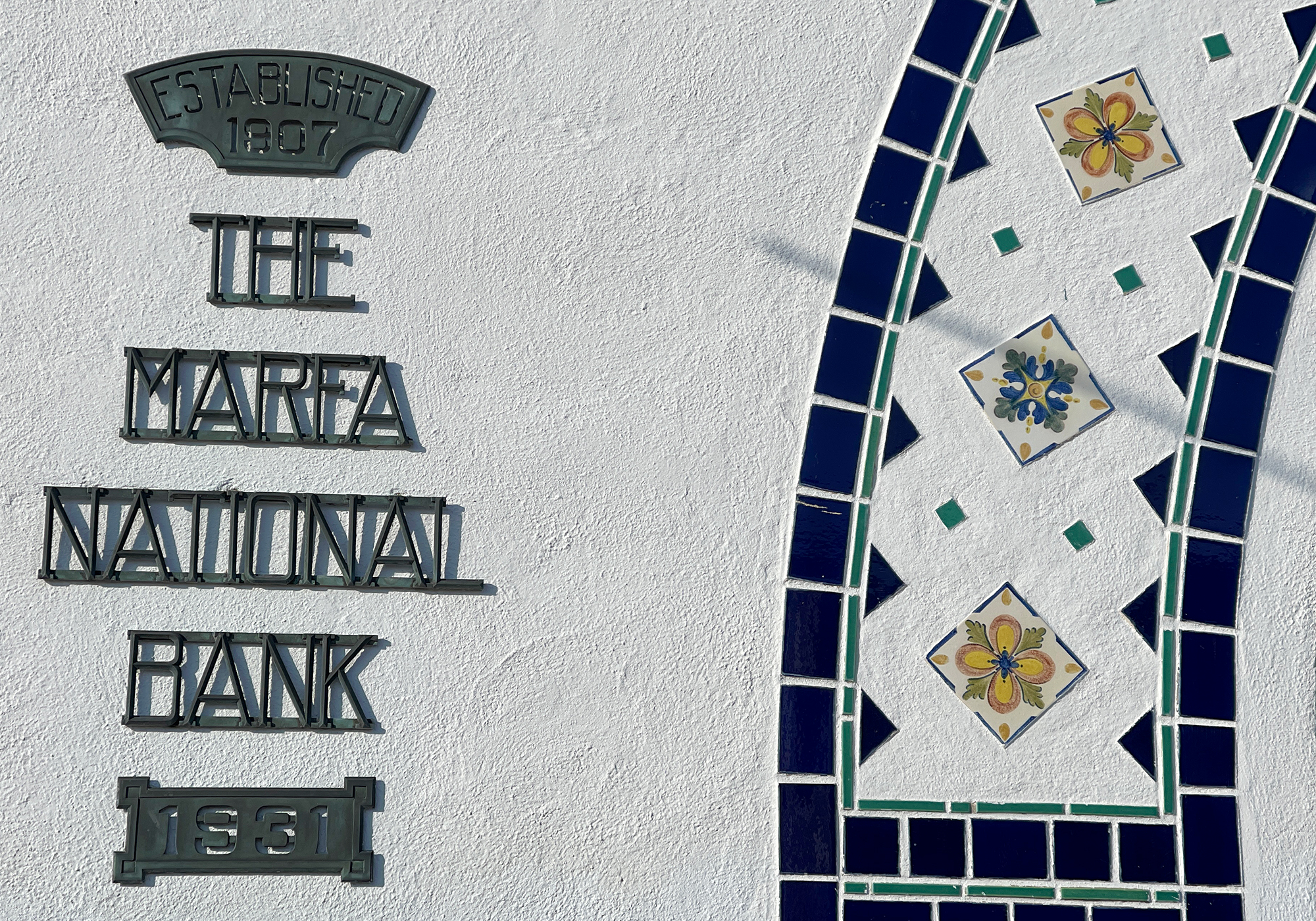
The Brite building was built in 1931, and is a unique hybrid of Spanish Mission and Art Deco styles. It also houses several Andy Warhol artworks.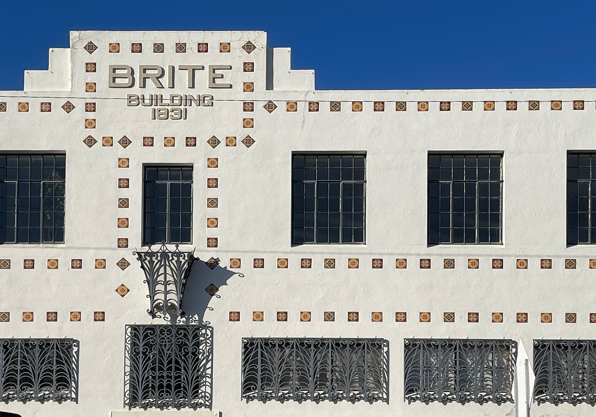
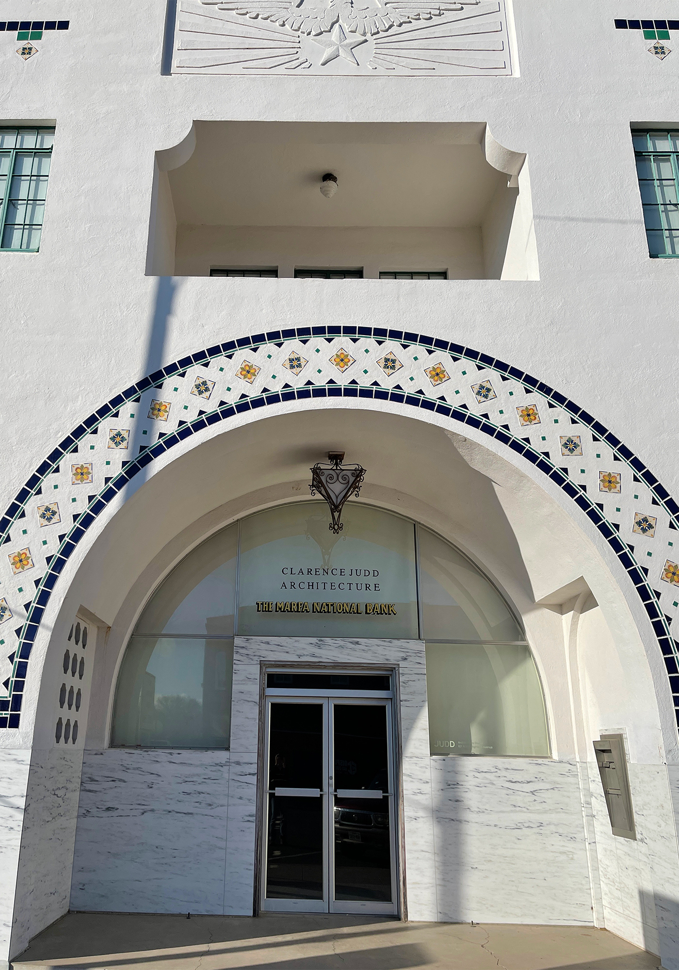
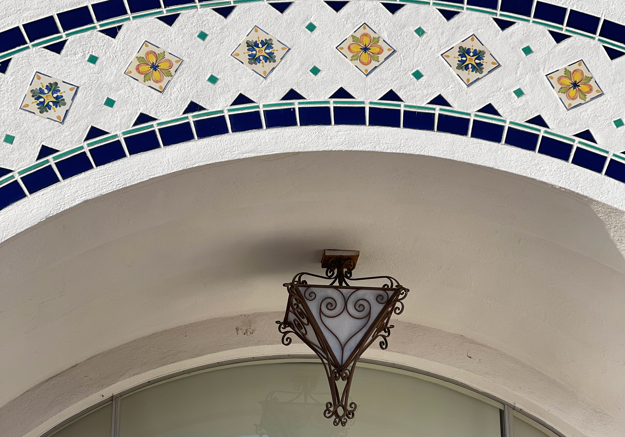
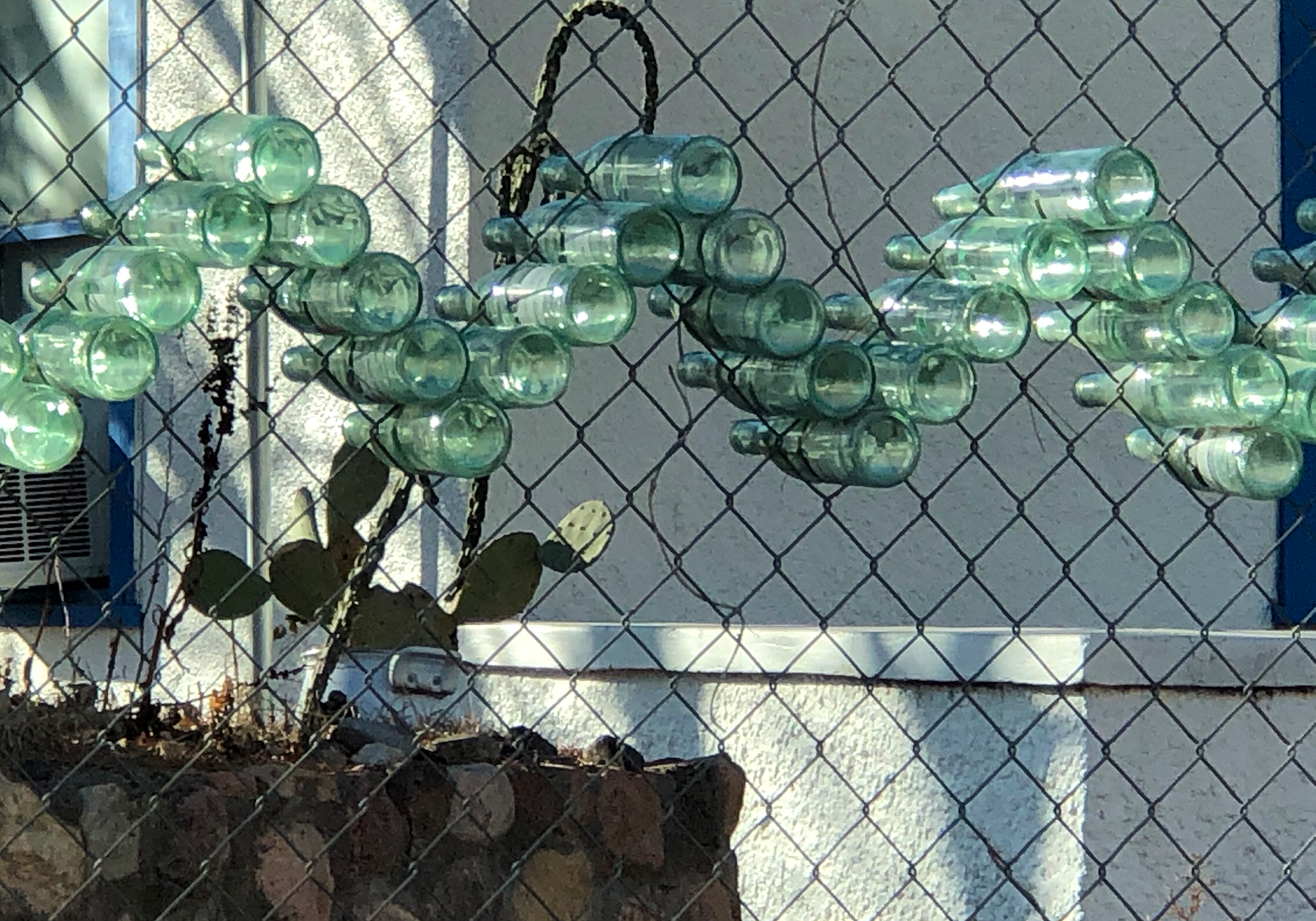
Bottles in a chain-link fence make for an interesting bit of street art: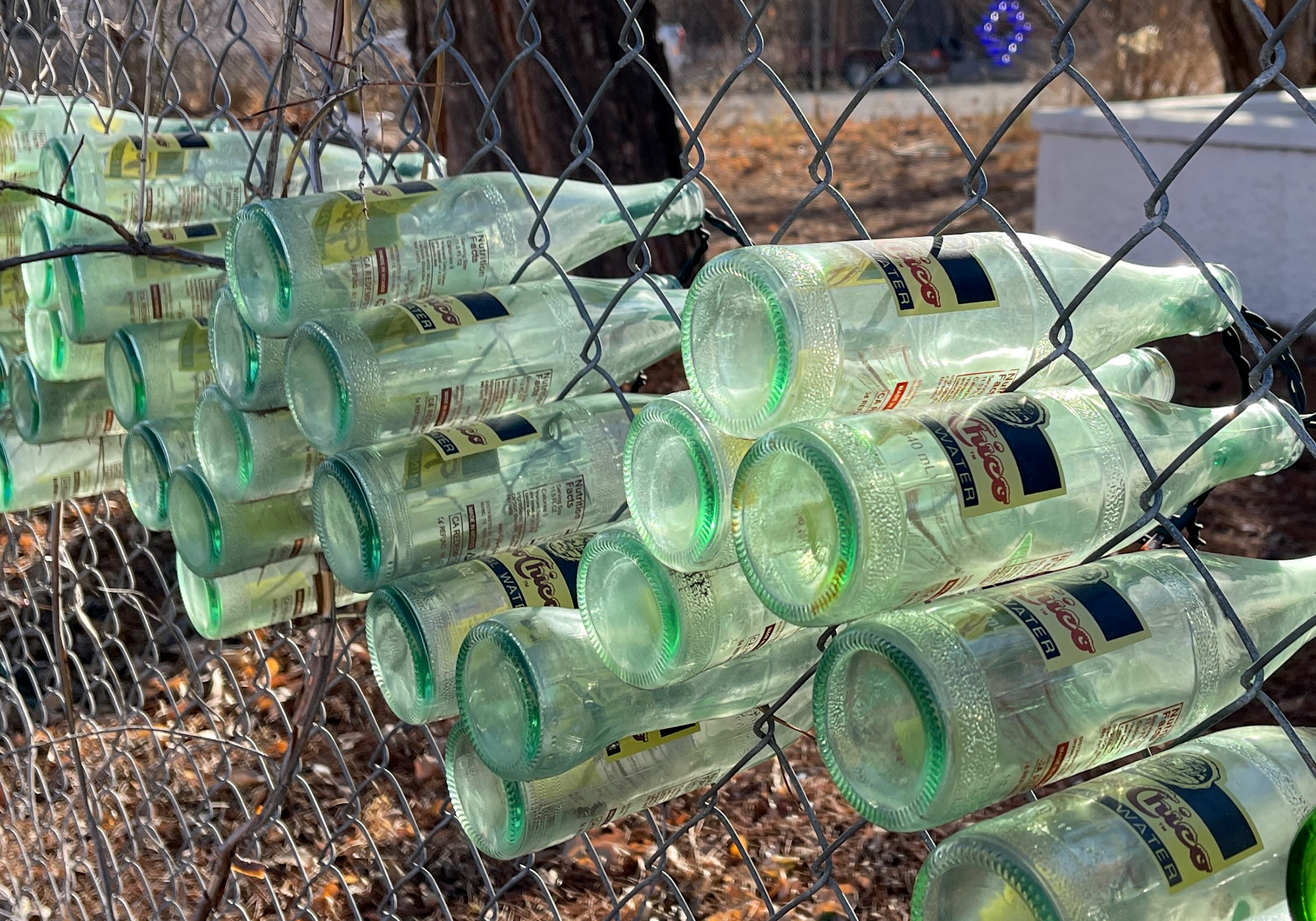
This building is just wrong: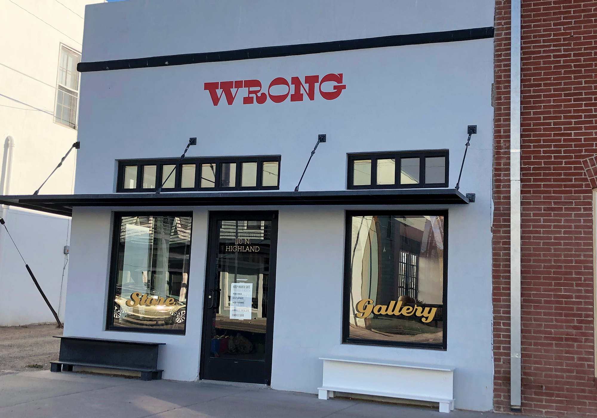
Presidio County Courthouse: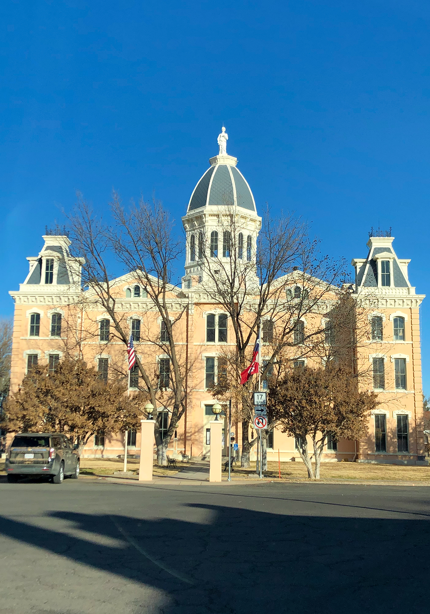
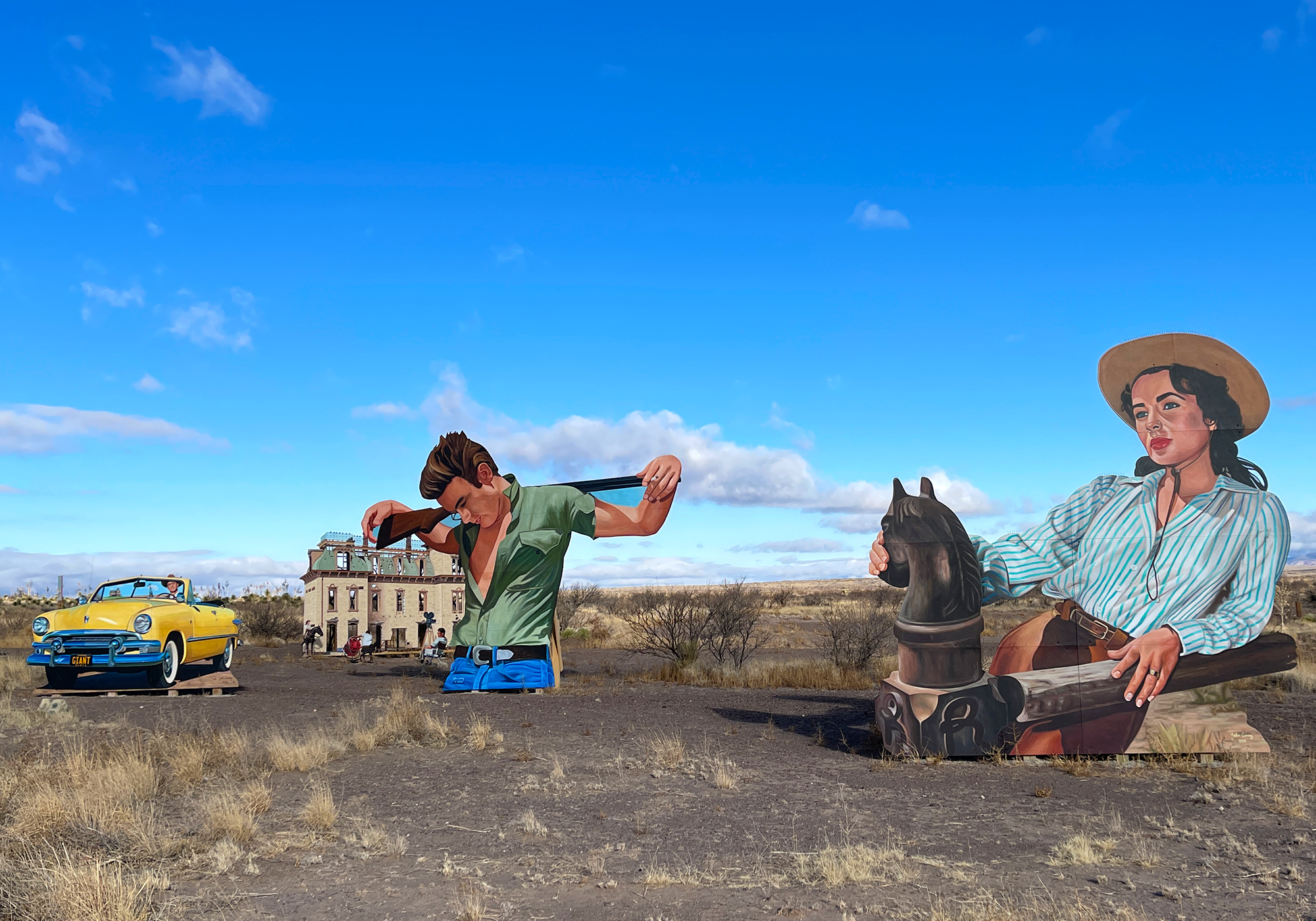
Down the road from Marfa is this art installation of the movie “Giant” set by the side of the road on the ranch where part of the movie was filmed:
Elizabeth Taylor: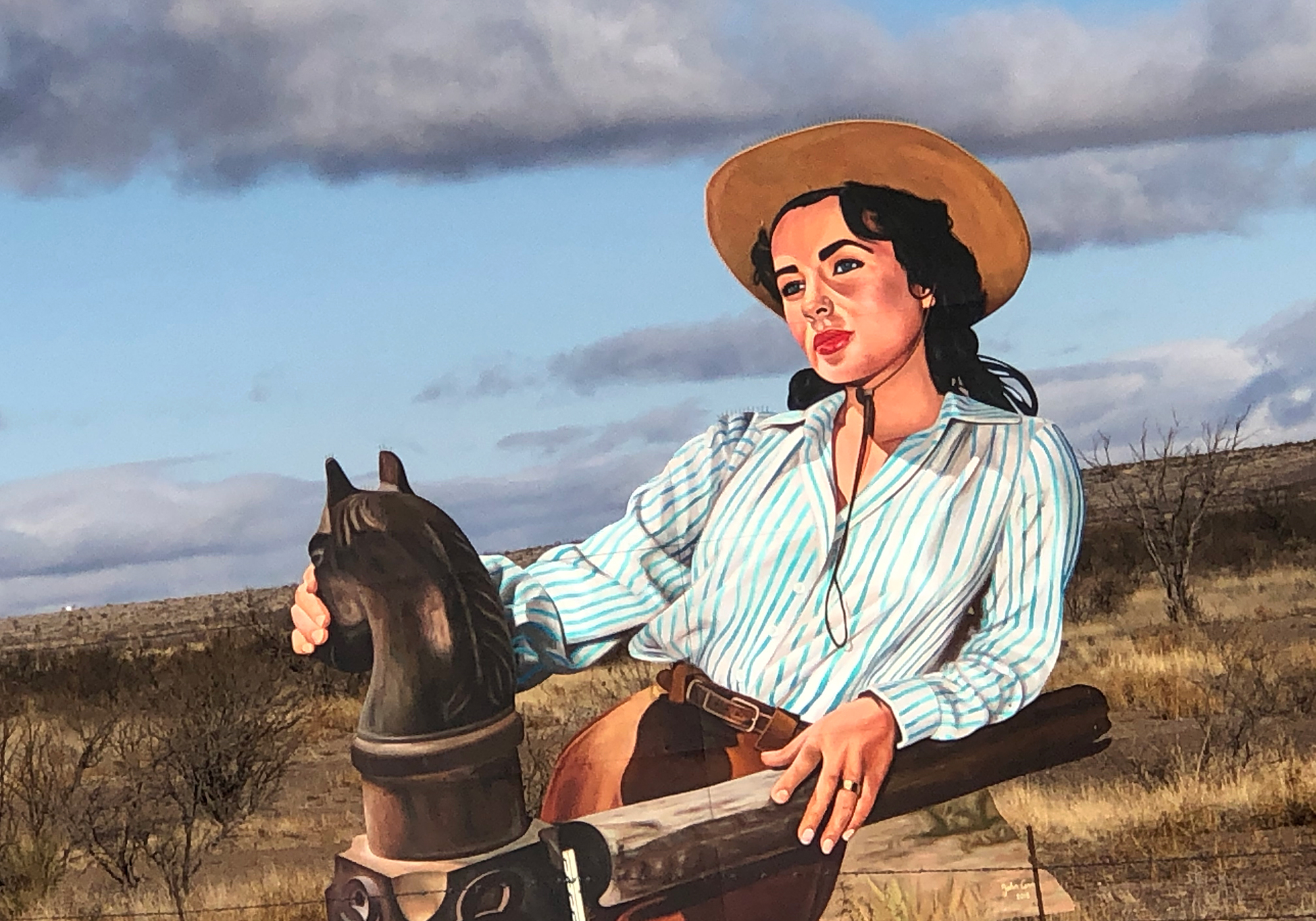
James Dean (Giant was his last film):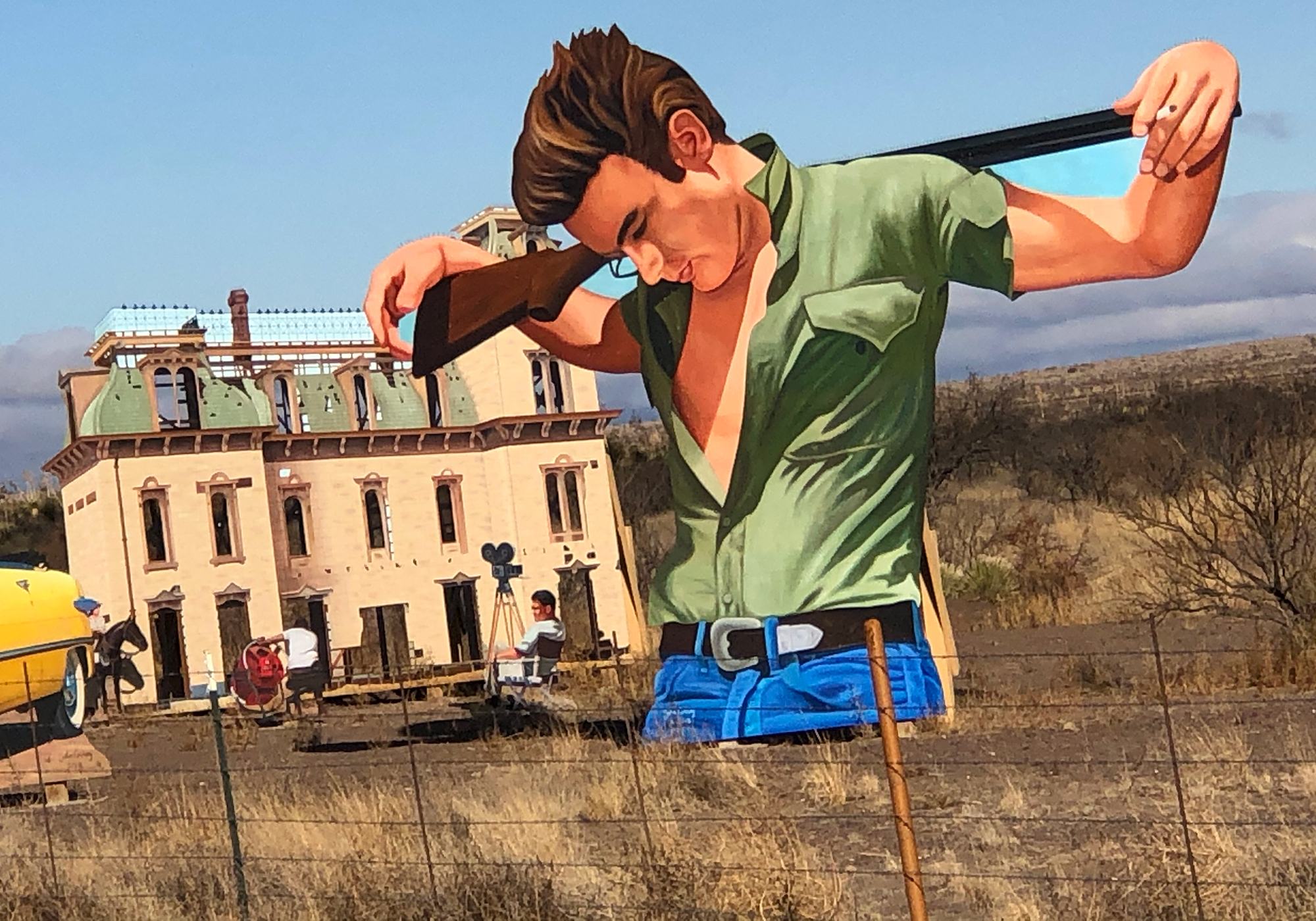
There’s also Rock Hudson in the yellow convertible. The coolest part of this are the Michael Nesmith (The Monkees) tunes playing from a set of rock speakers in front of the display (and I thought I was his only fan!):Down the road we very unexpectedly saw this in the distance:
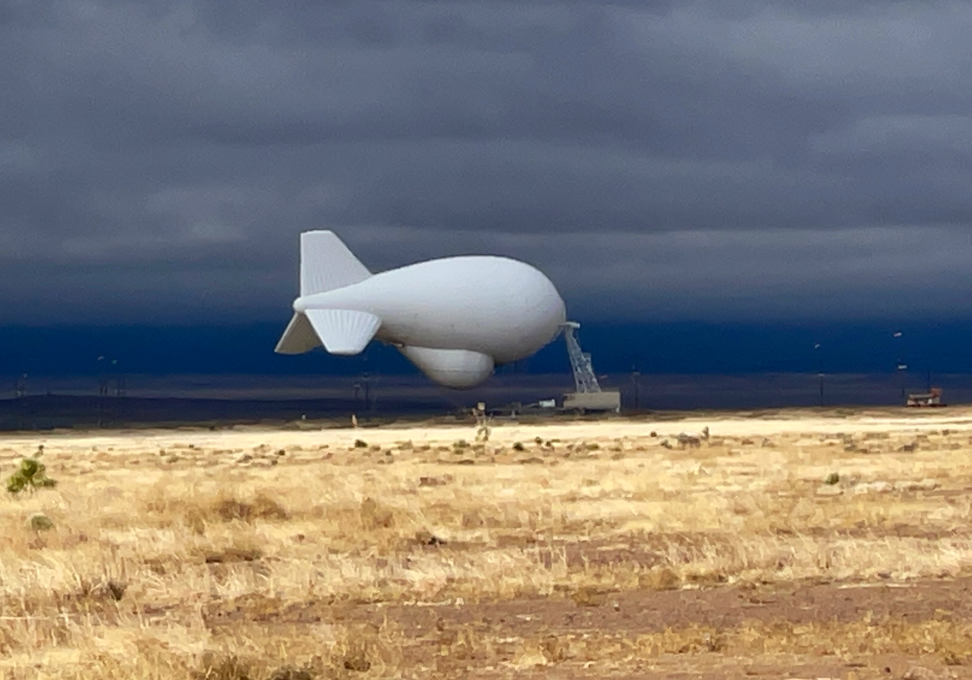
which turned into this: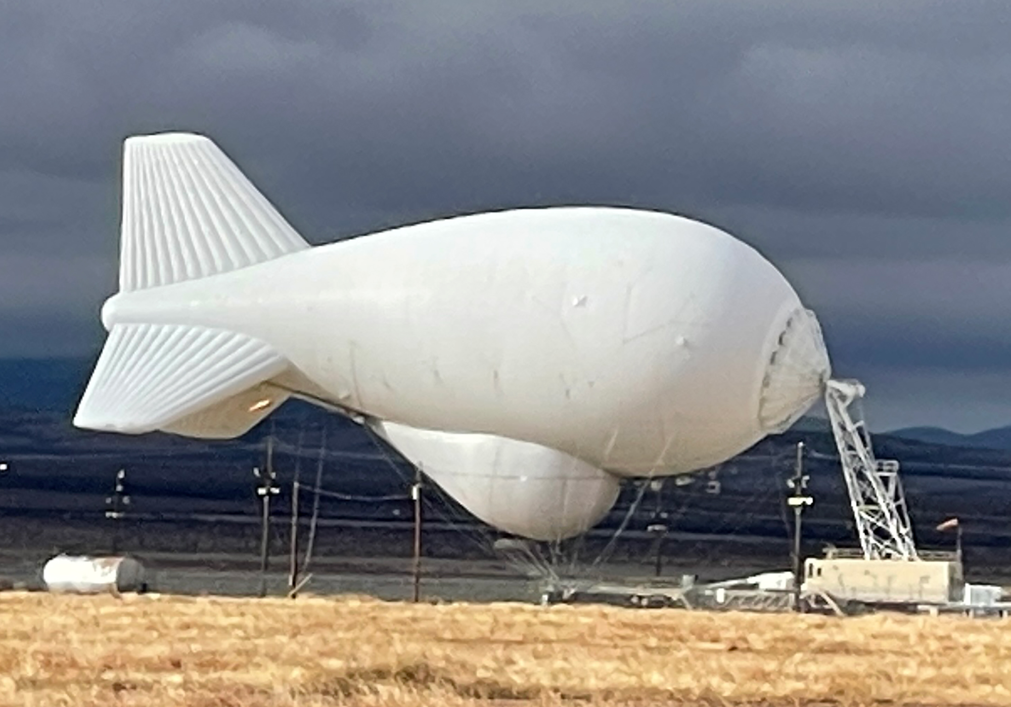
we were trying to figure out what it is but luckily the man left us a clue: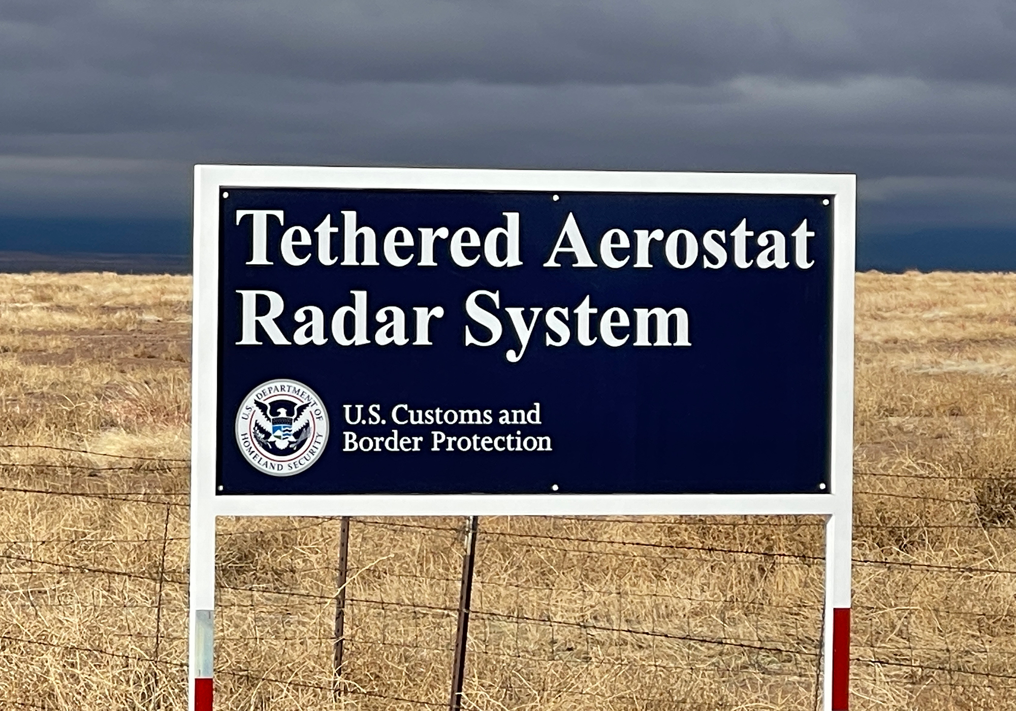
Apparently it’s a blimp that houses downward looking radar and is flown like a kite up to 15,000 feet high. It’s purpose should be obvious if you note who’s operating it 😉. UPDATE! On the way out of town we got a chance to see it deployed:
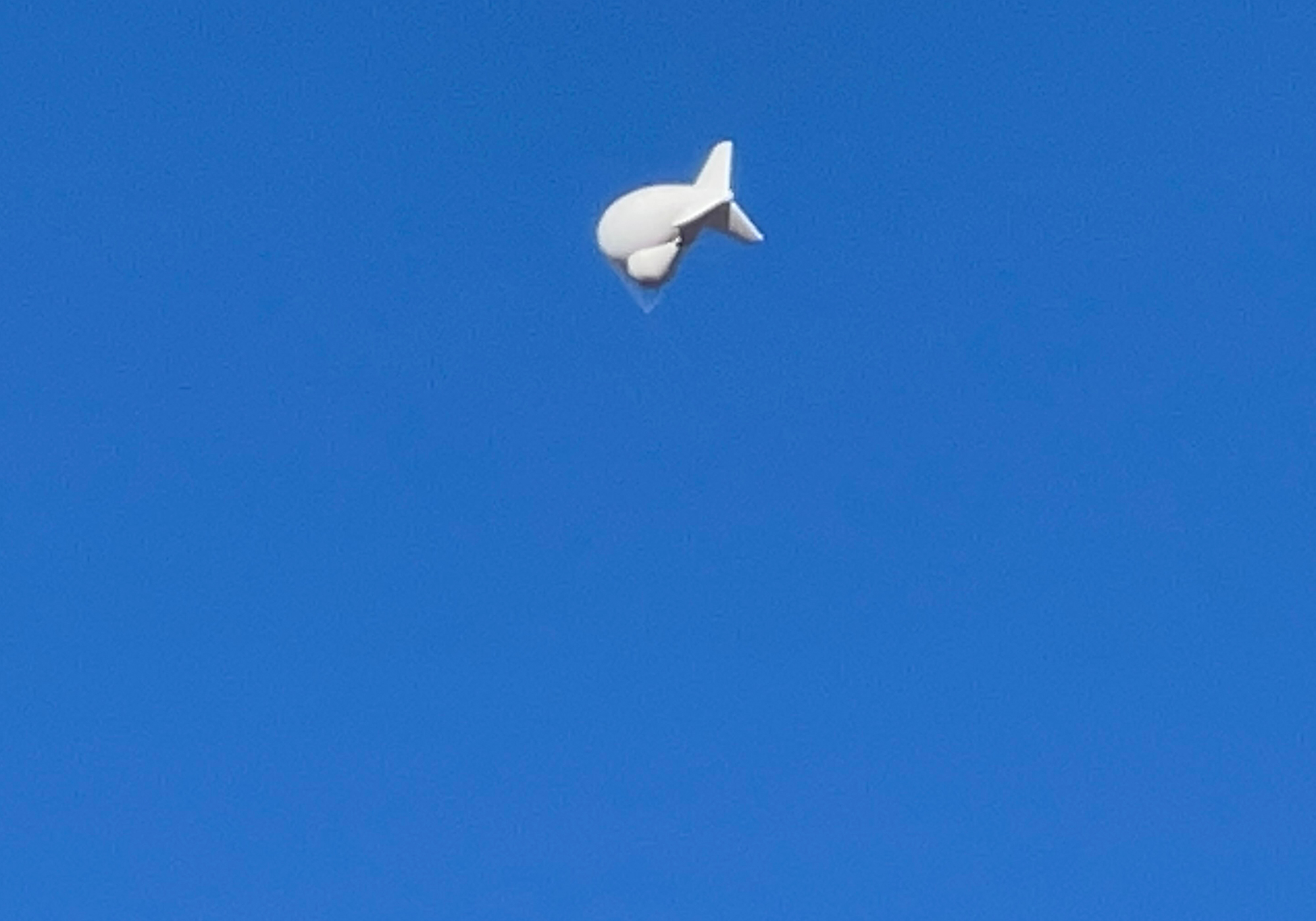
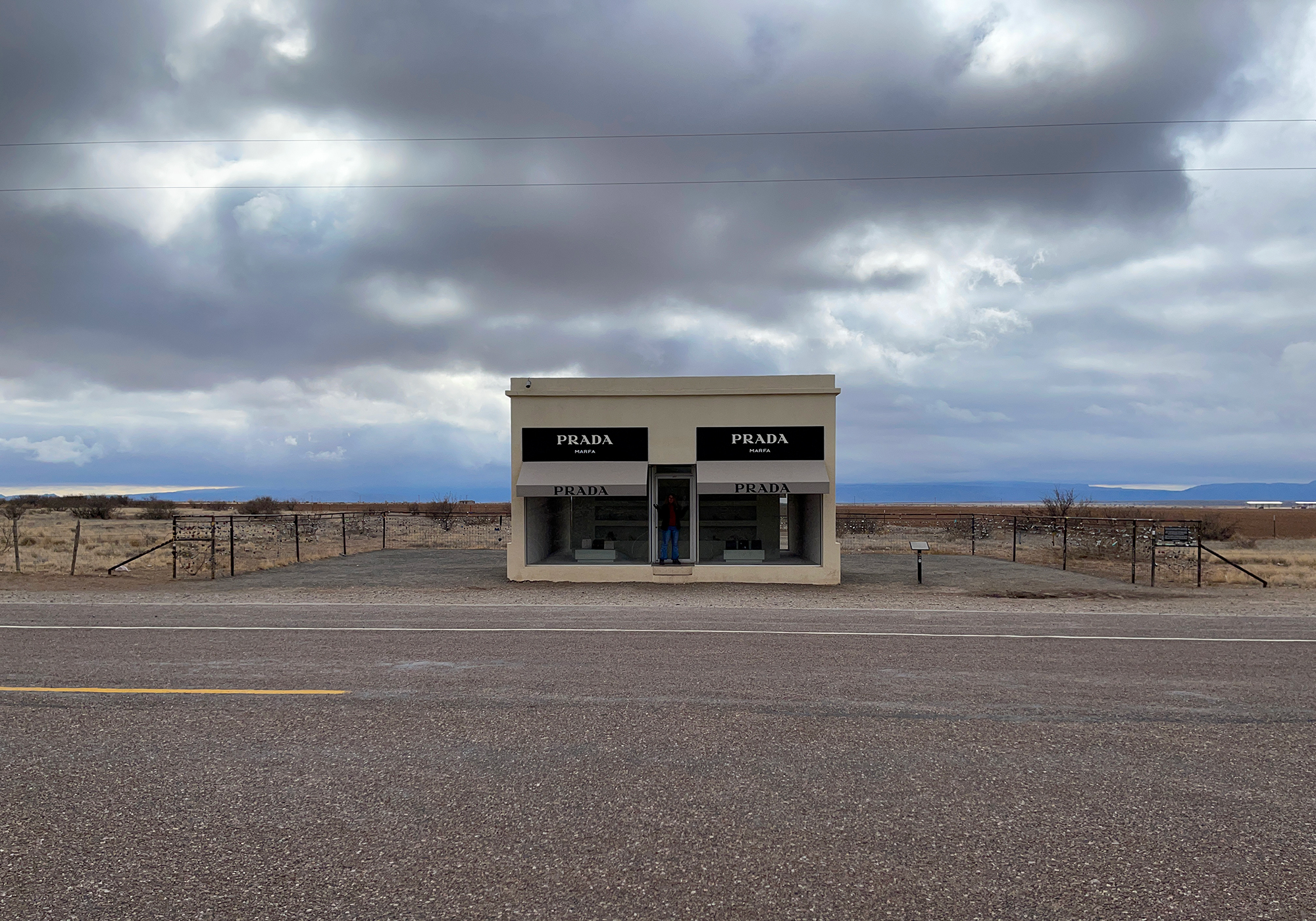
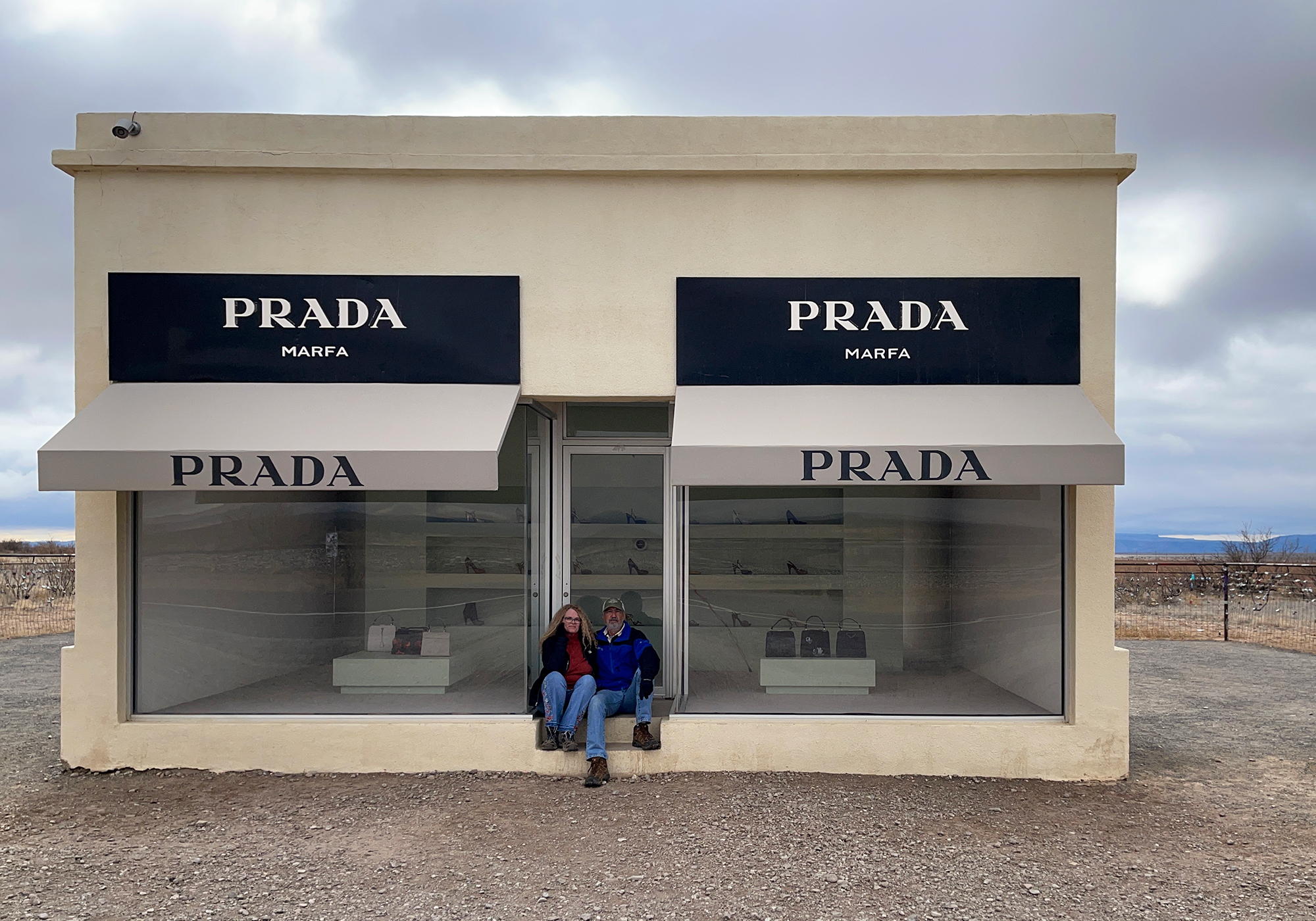
Still further down the road you come on Prada Marfa. Although it’s actually closer to Valentine and in a different county, they no doubt wanted to capitalize on the Marfa name. Still it’s pretty neat and more interesting when you see it in person sitting in the middle of nowhere:
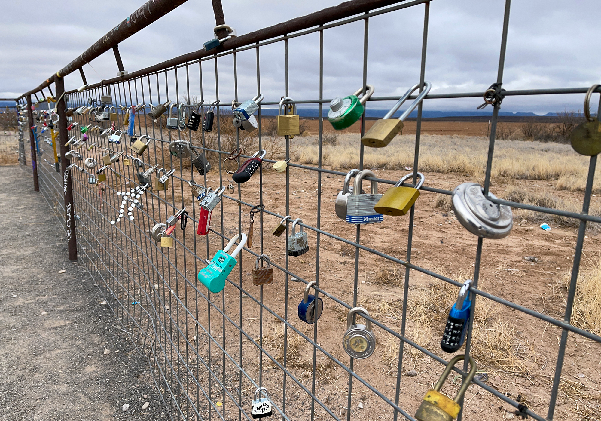
Locks adorn the fence surrounding the exhibit. Perhaps, placing a lock gives people the feeling that they’re part of the art or maybe putting locks on fences is just the thing to do as it seems pretty popular:
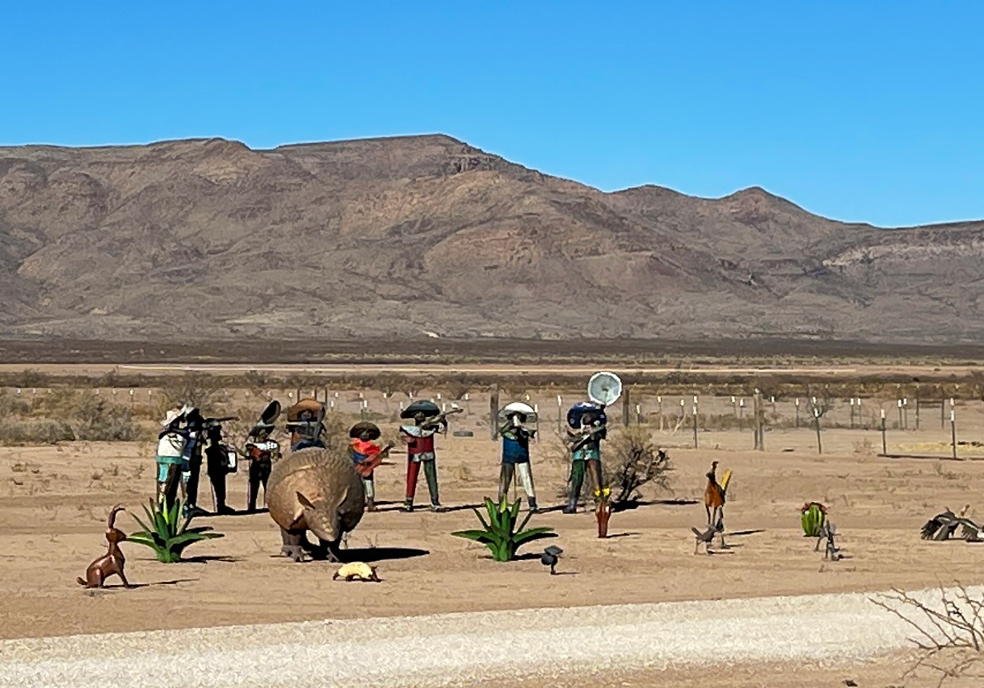
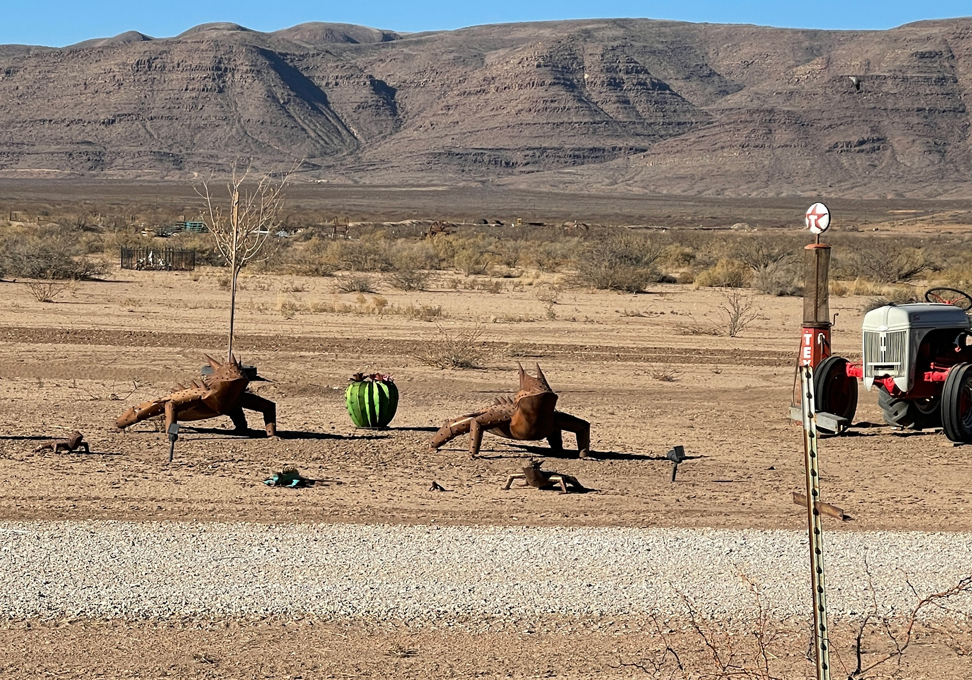
Annnd still further down the road is a property across from a field of pecan trees with an outrageous collection of yard ornaments from a mariachi band with an armadillo to a pair of steel horned-toads:
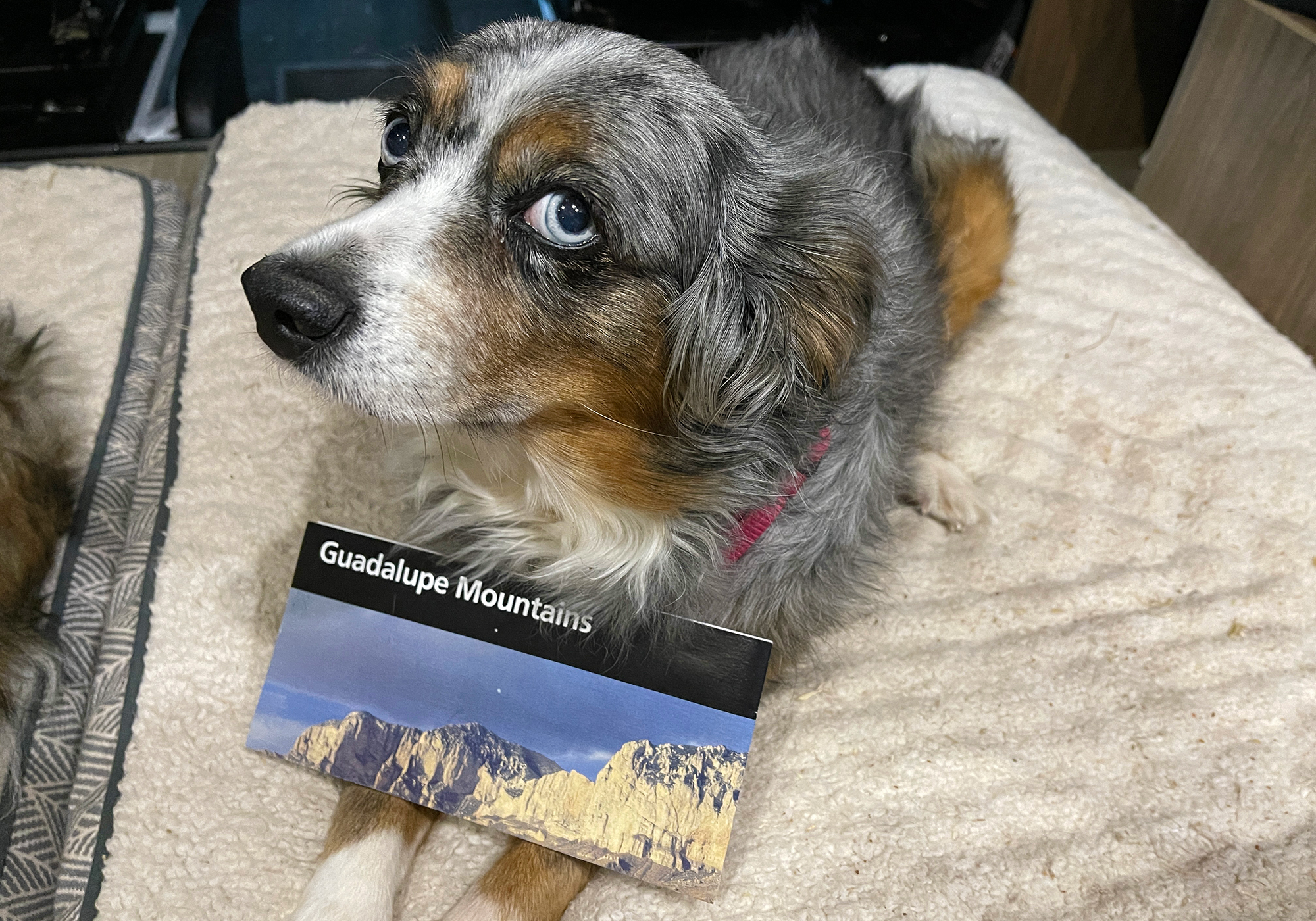
Shelia wanted to model the unigrid for park #37 and how can anybody say no to those eyes?
As we gained altitude approaching the entrance to Guadalupe Mountains NP the clouds closed in and we even had a few flurries from the tail end of the storm that dumped on northern Texas the day before: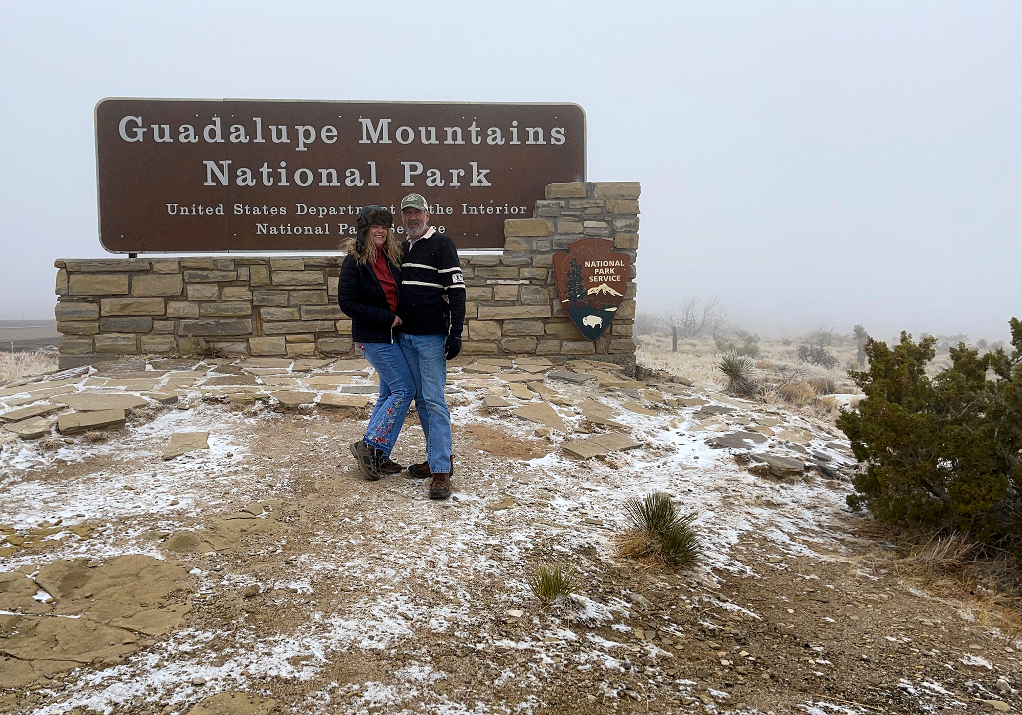
and when we got to the visitor center it was pretty clear that we’d be changing our plans for exploring the park – behind the sign and to the left is Guadalupe Peak. At 8,749′ it’s the highest point in Texas. This is the best view of it we had: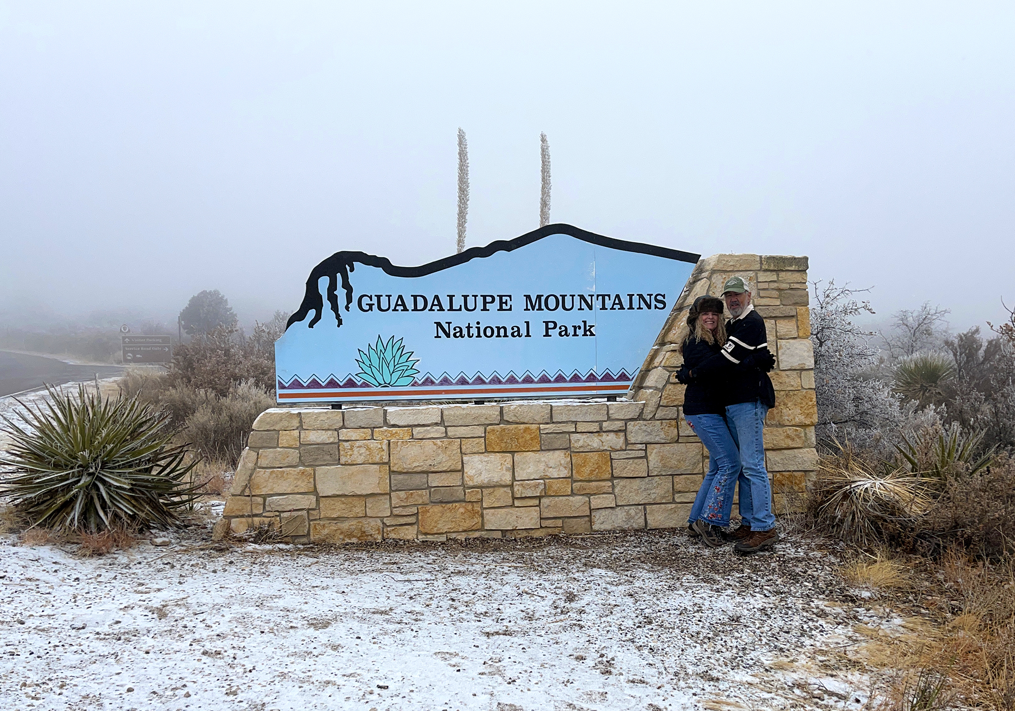
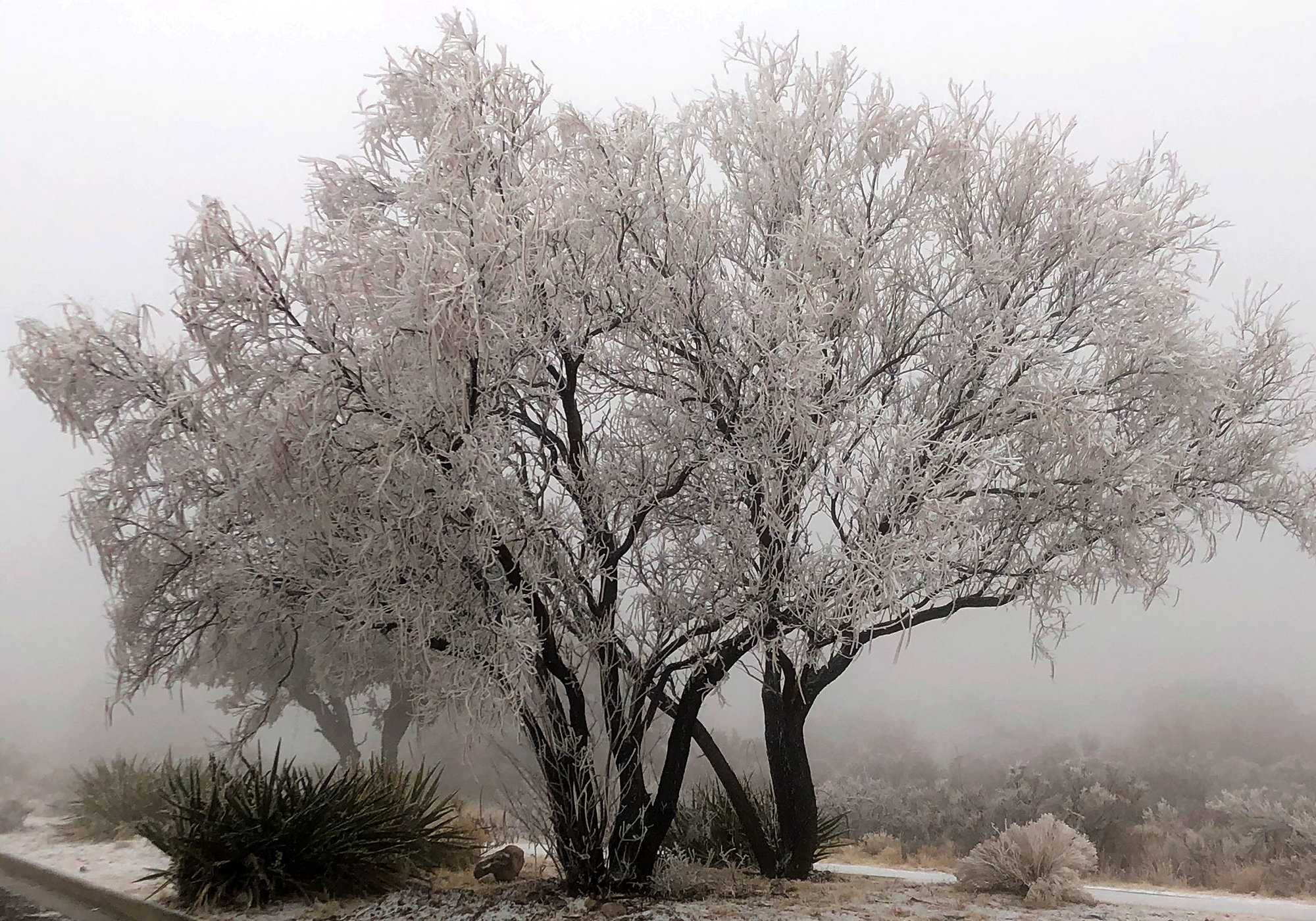
but we did get to see some frost and snow covered bushes and trees that were quite pretty: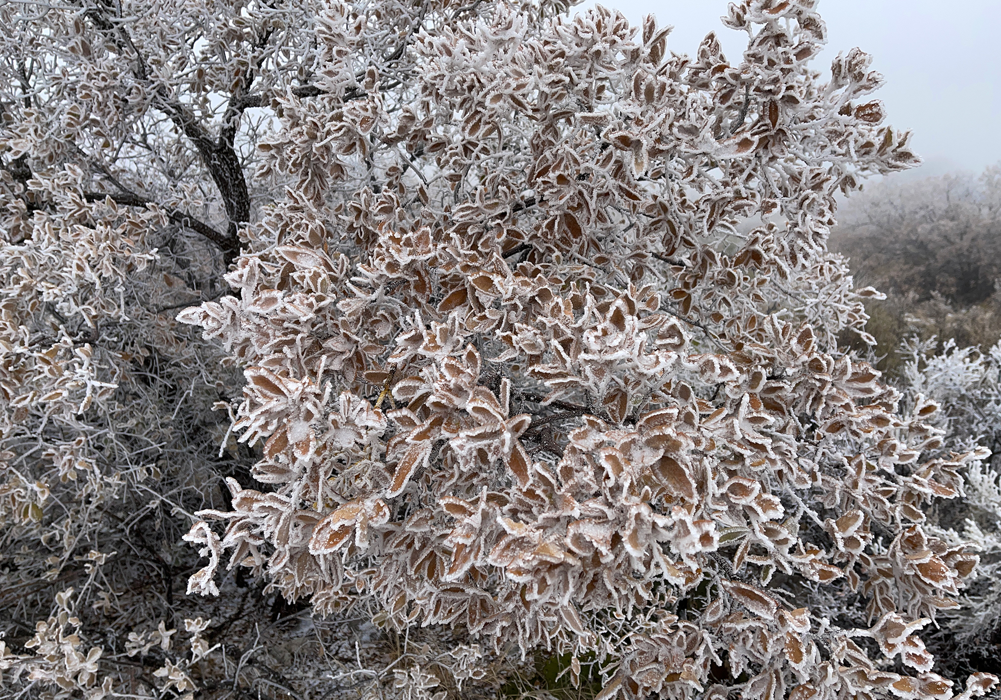

- The Sul Ross Desk
Hancock Hill sits behind the campus of Sul Ross State University on the northeast side of Alpine and sometime in 1981 apparently 3 Industrial Tech students decided to haul a steel desk up and over a couple very rocky hills to a quiet vista overlooking a peaceful bit of west Texas: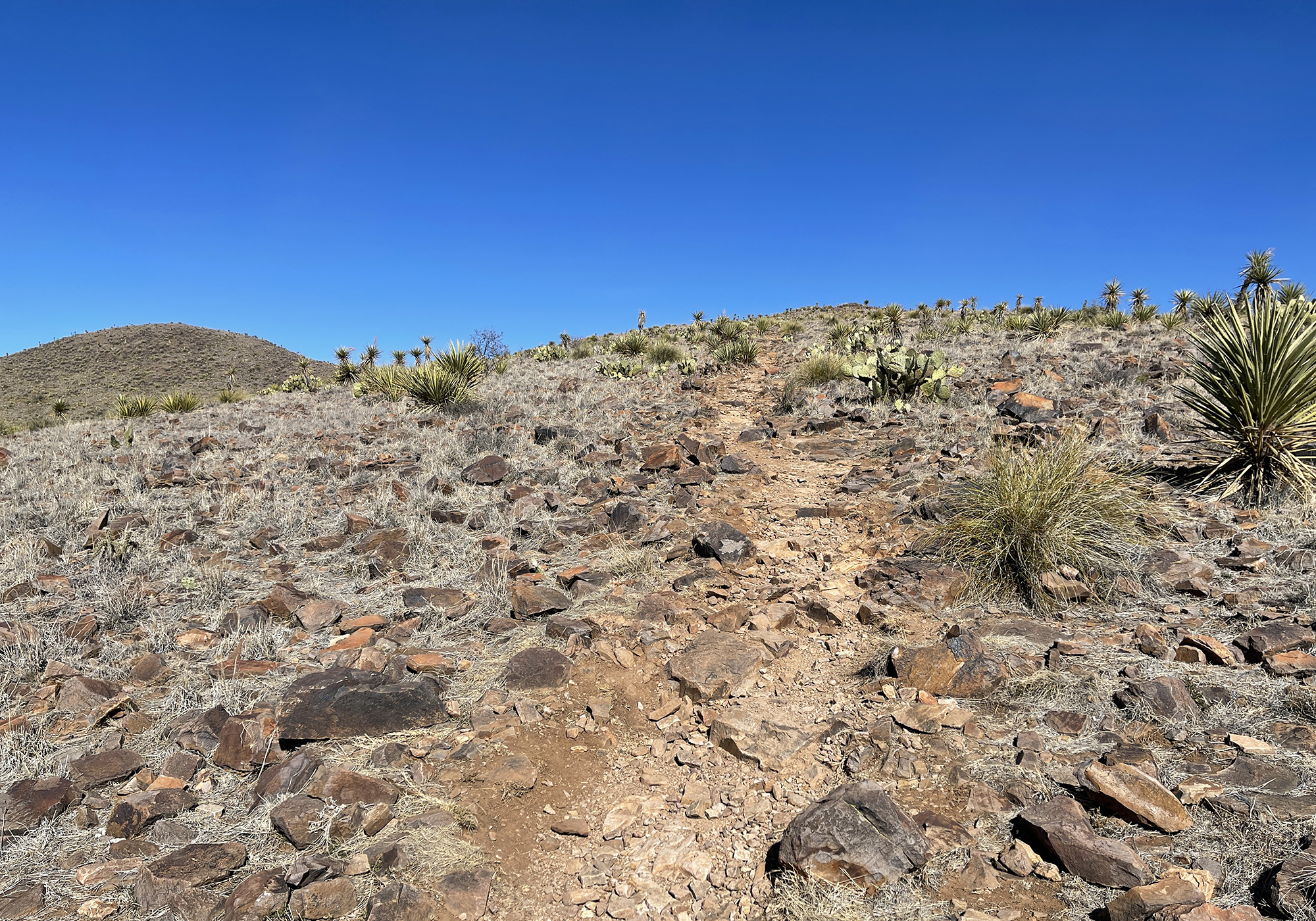
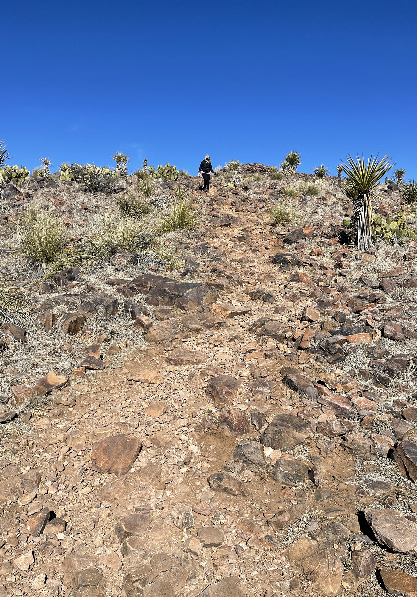
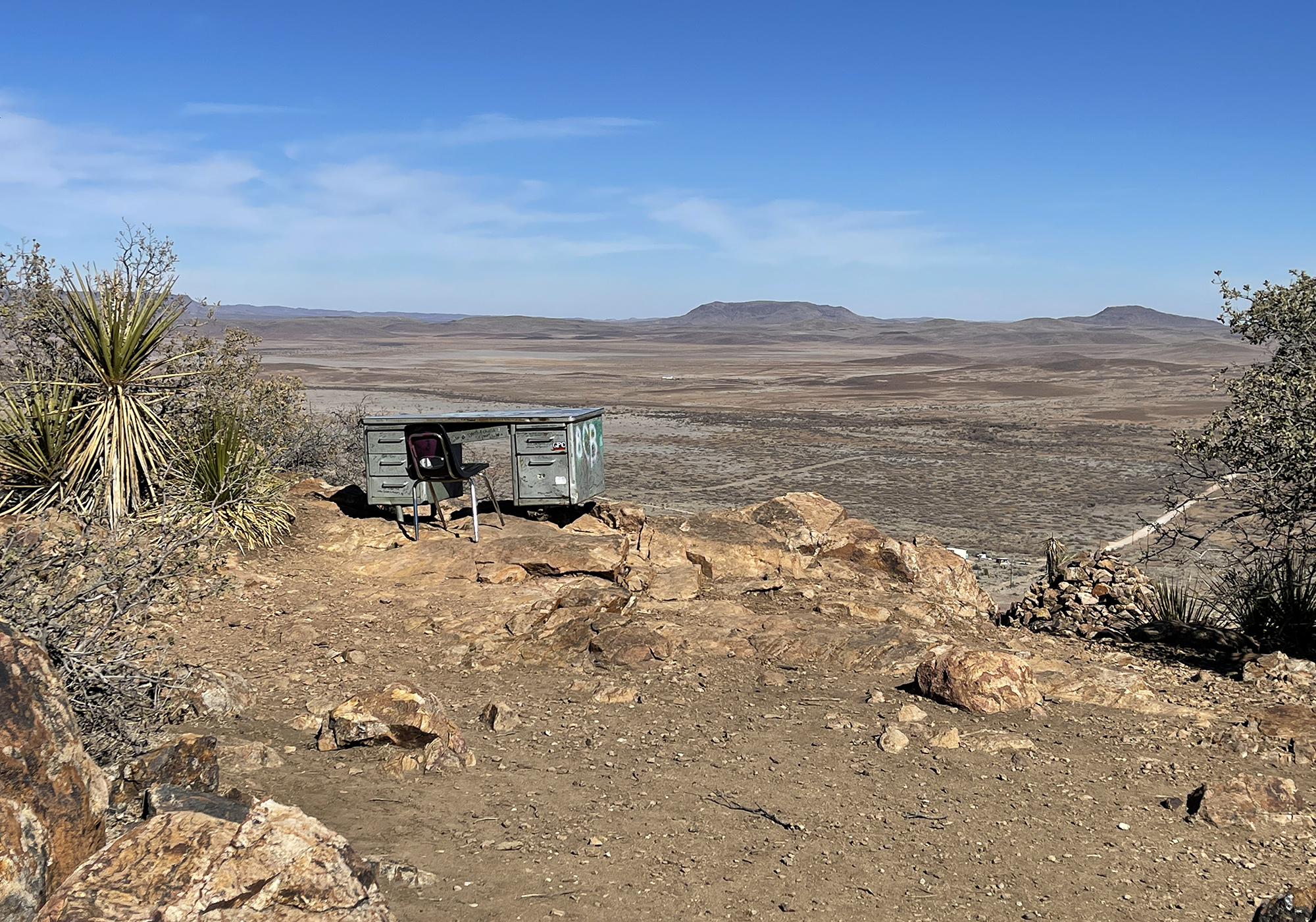
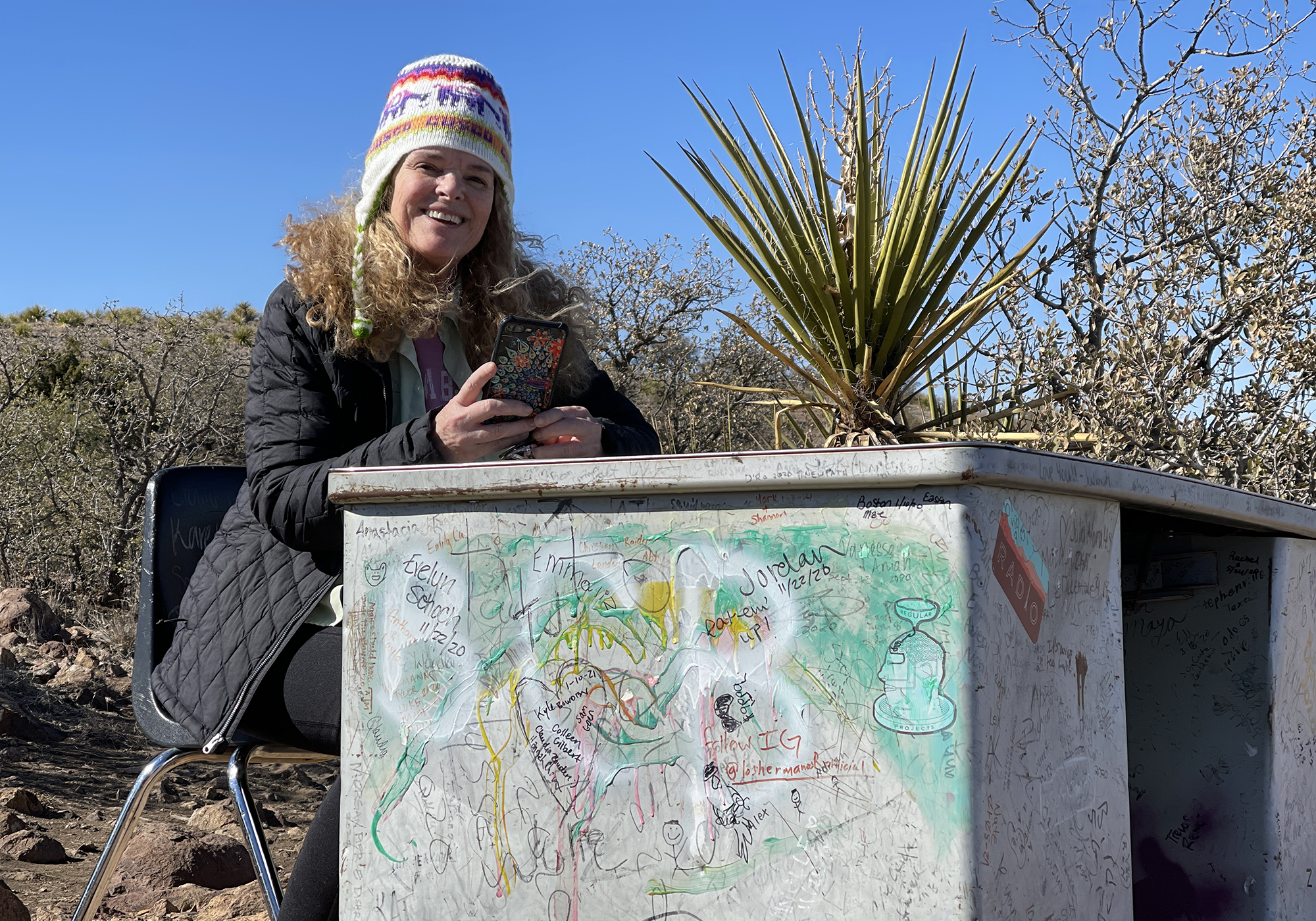
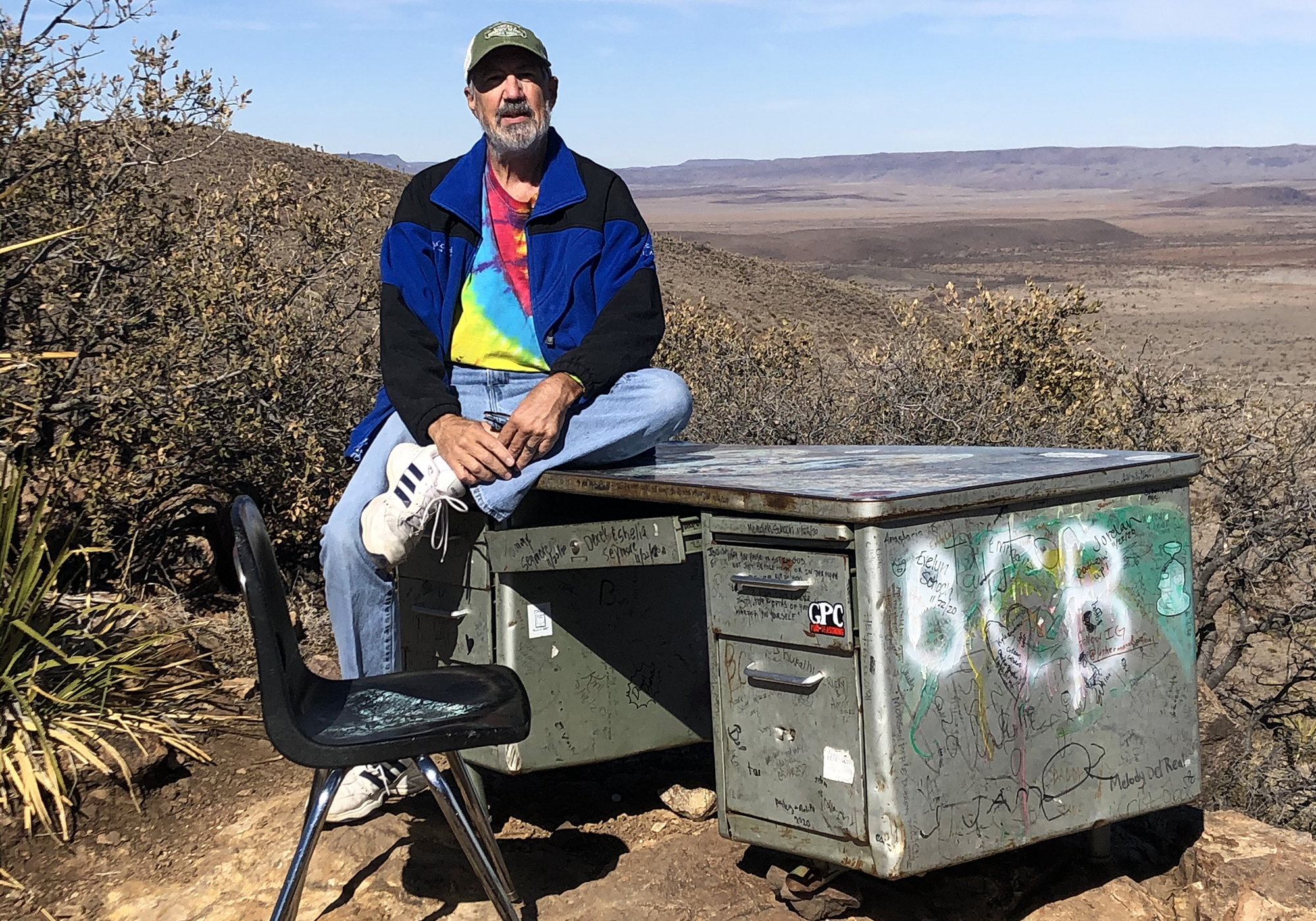
There are several markers, pens and notebooks in the drawers and people leave anything from their name to a page full of their thoughts. We chose to leave our scribble on the desk itself along with so many others: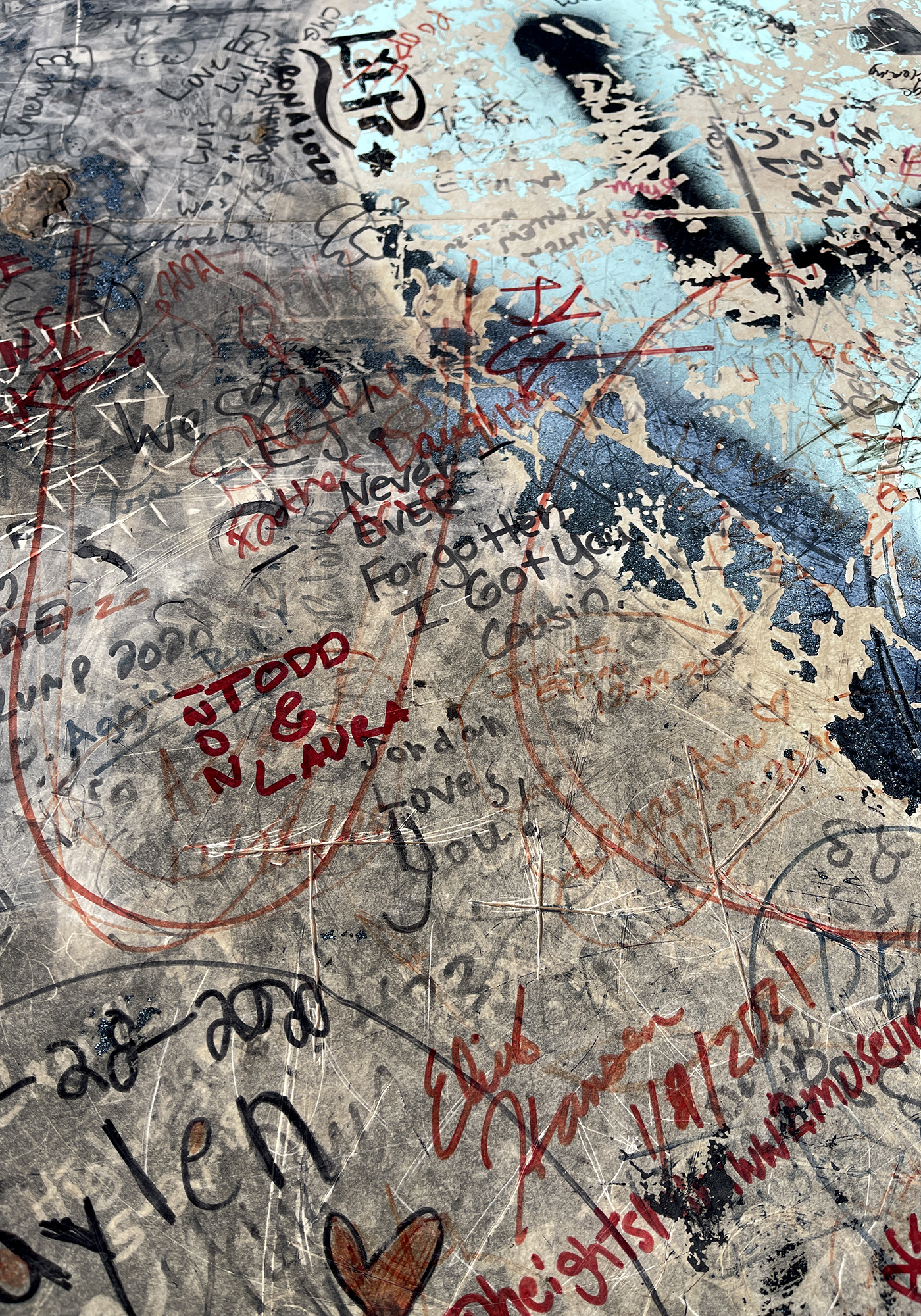
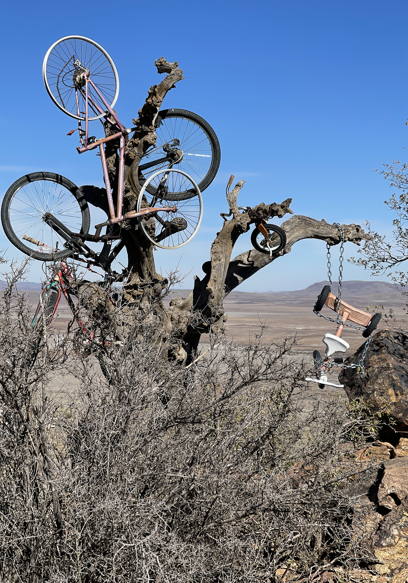
A little northward around the hill is the bicycle tree. Not quite as impressive an accomplishment but still something. We can only assume that it will grow in the years to come: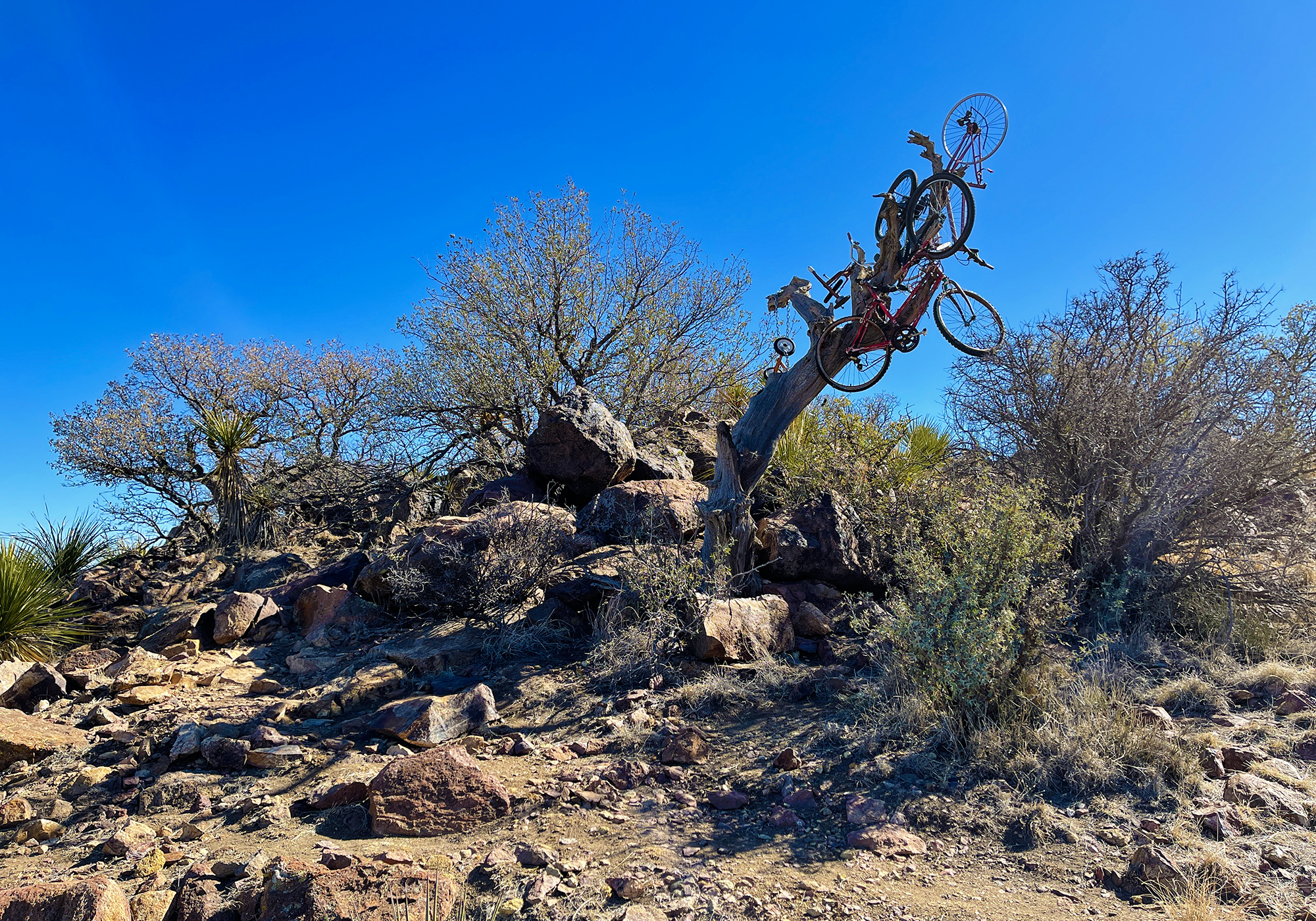
- West Texas to Arizona
The trip through west Texas and New Mexico to Arizona was long and actually a bit dull – how many brown mountains sitting in vast stretches of brown desert can one really appreciate?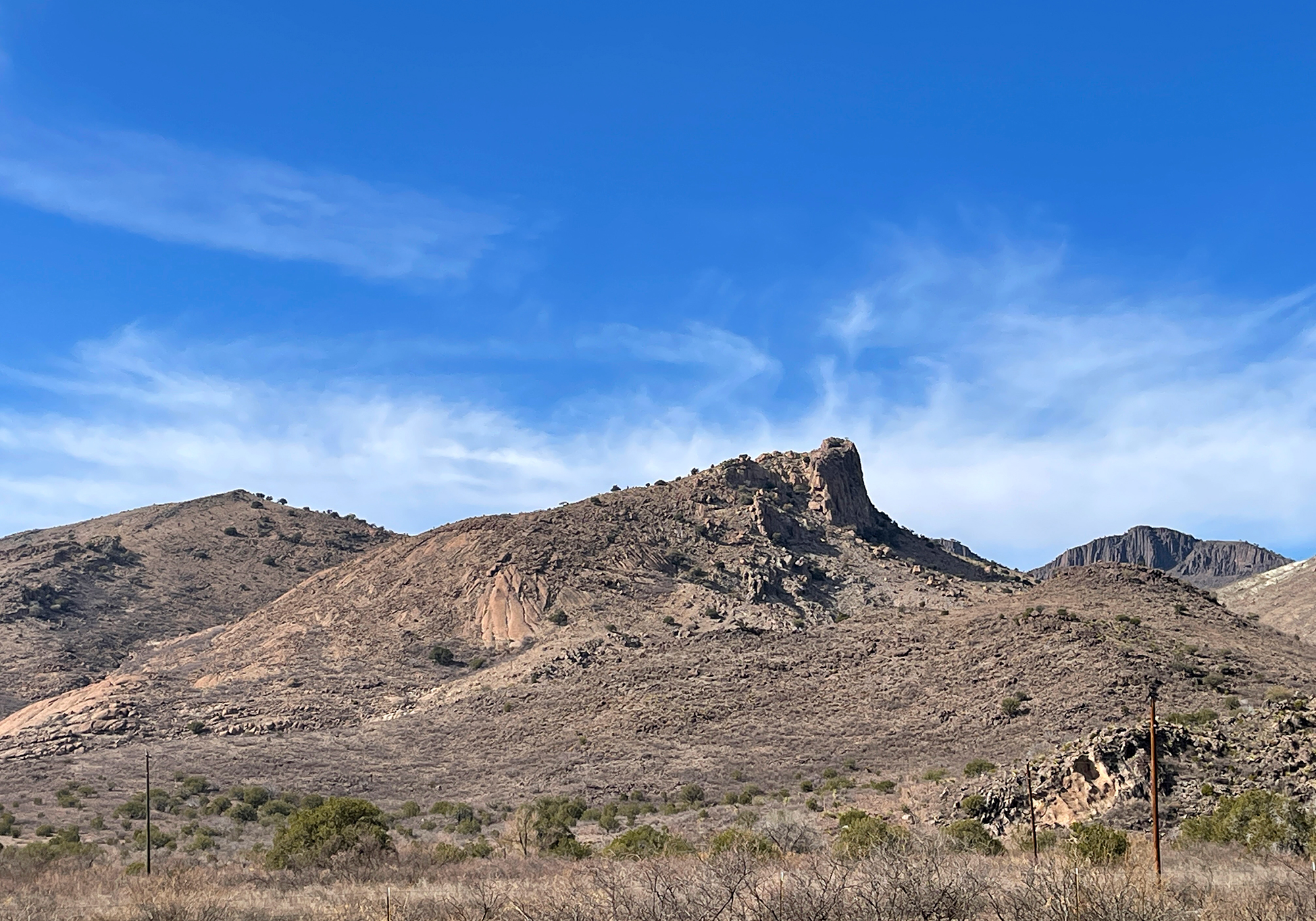
We did however get to see the new border wall from the highway: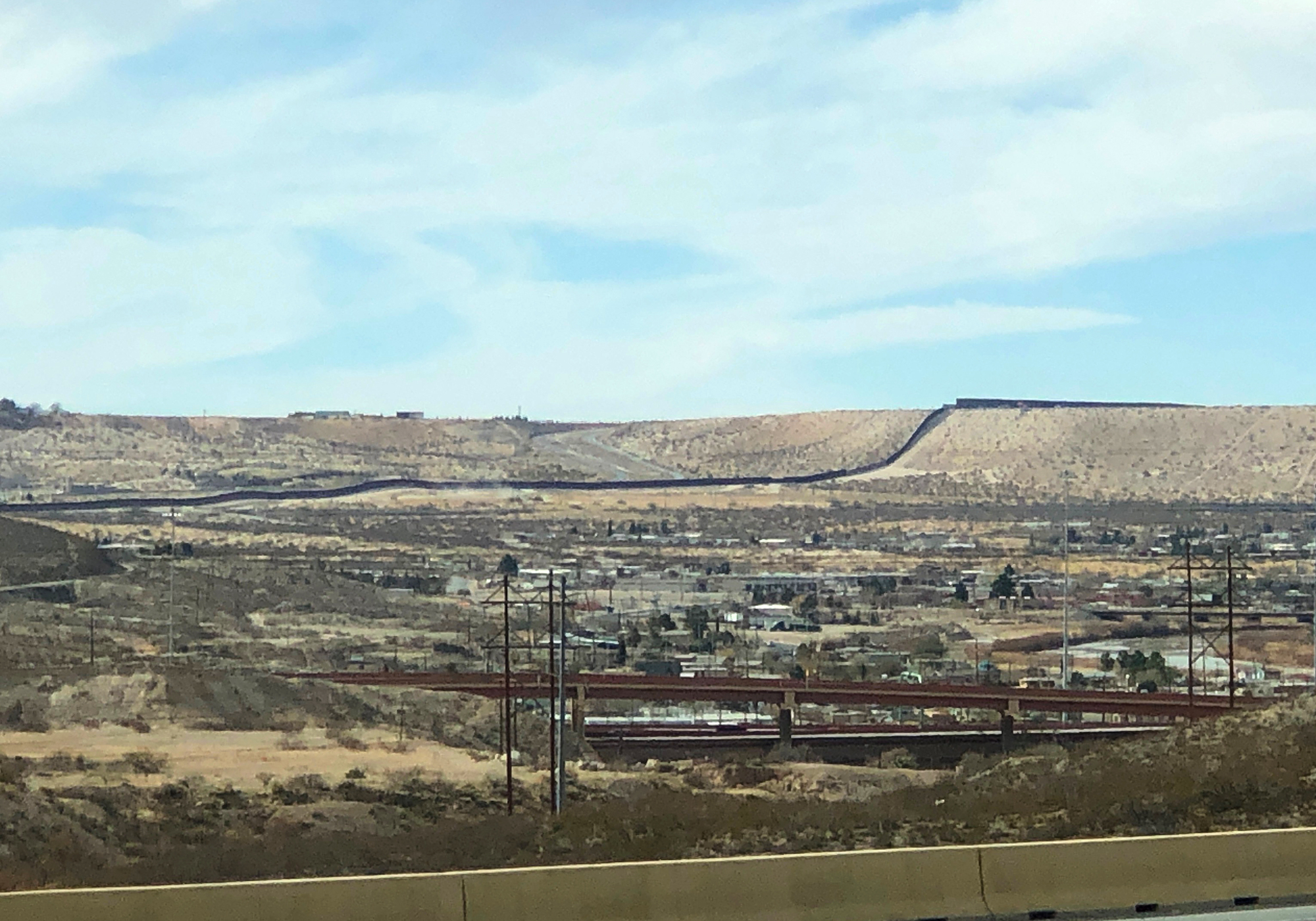
and we picked up one of or missing Welcome to signs: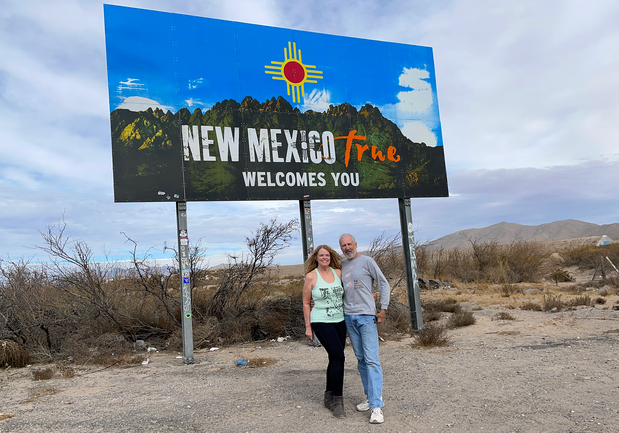
- Saguaro National Park (and beyond)
We started the day at 6-dark-thirty and in the company of these real genuine rancher types: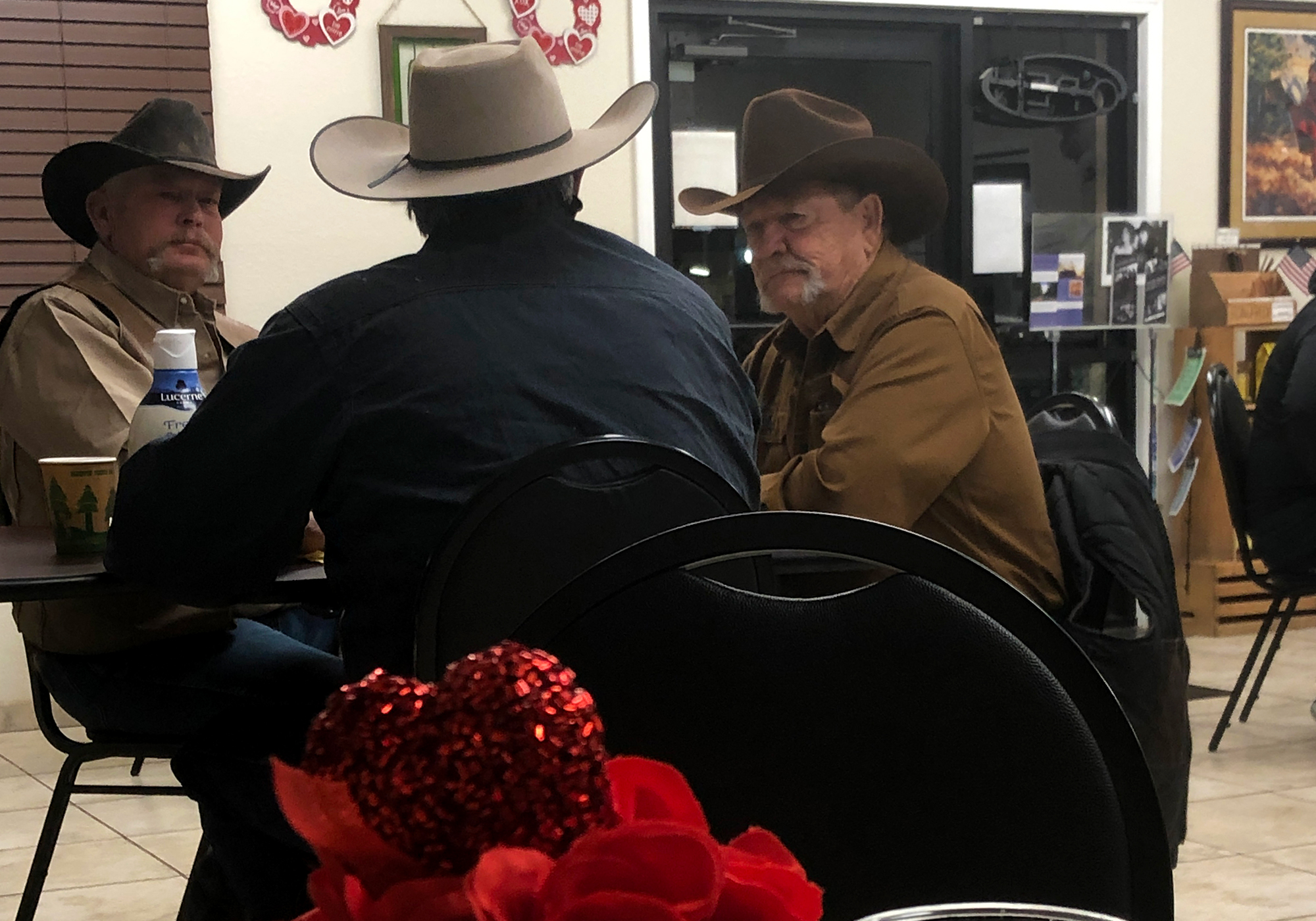
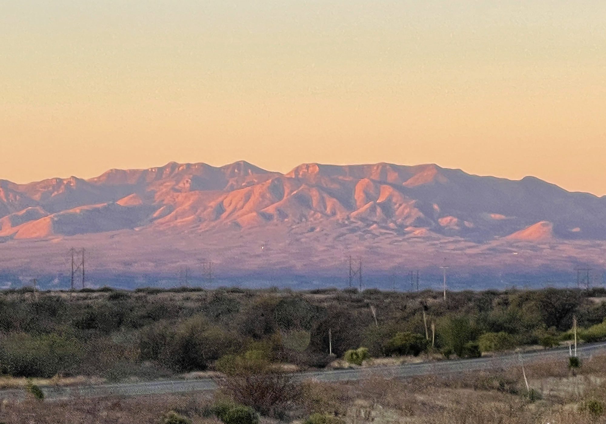
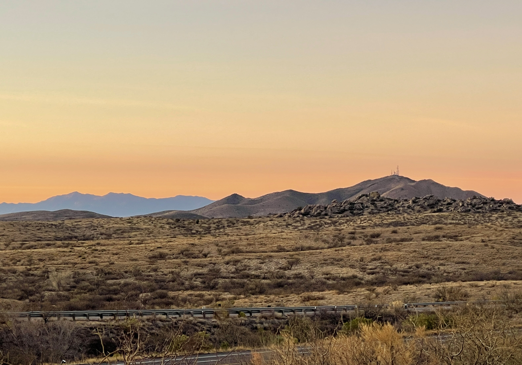
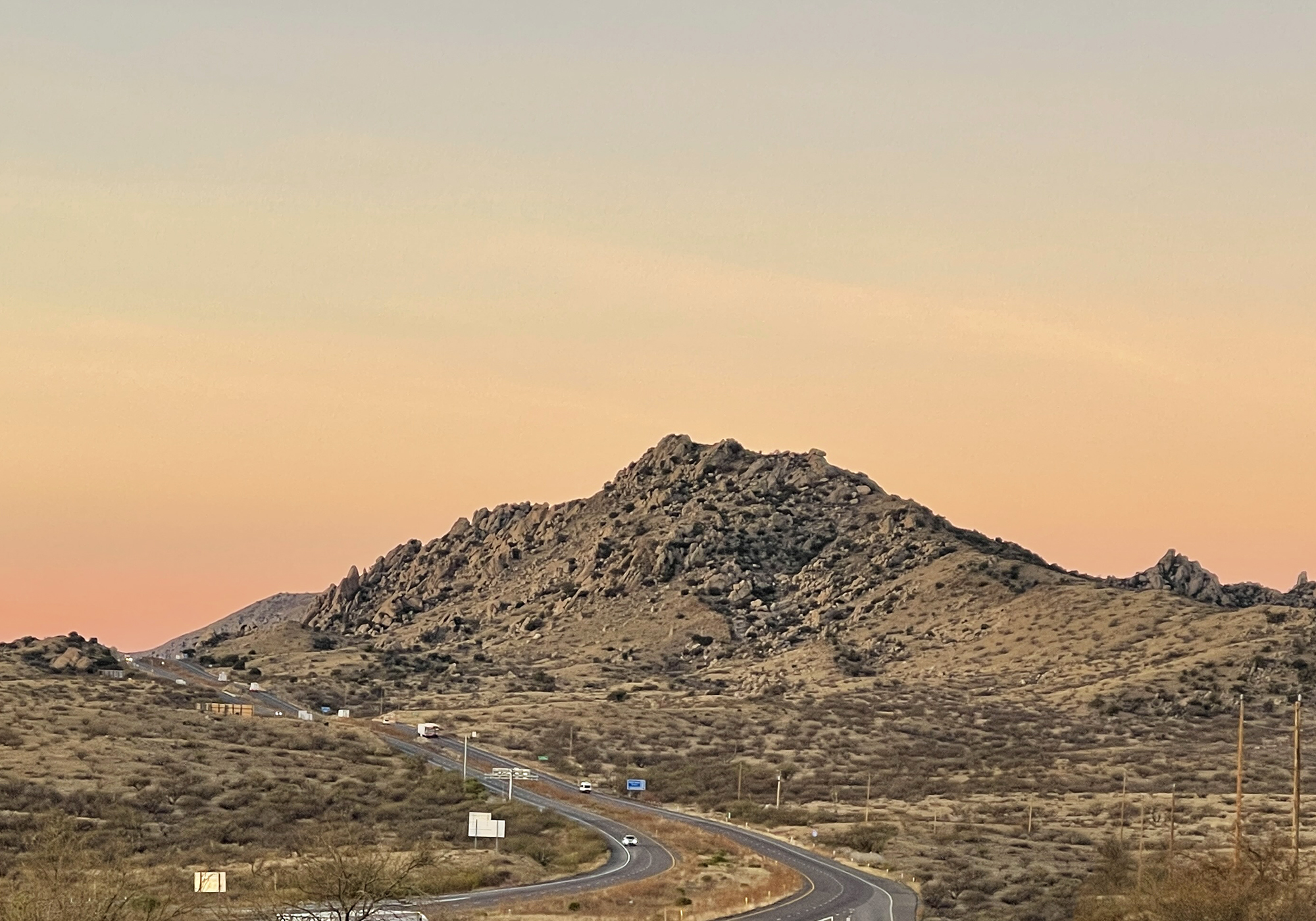
and hit the road early enough to enjoy a desert sunrise:
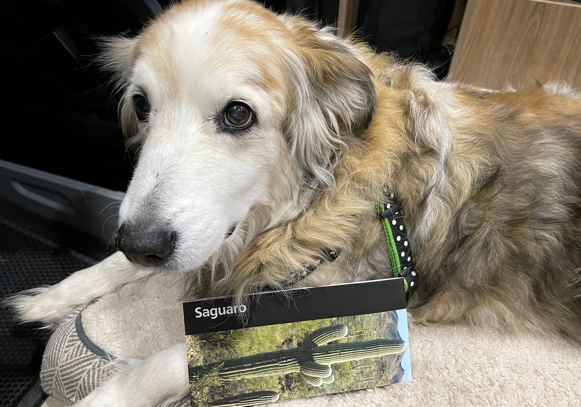
Even though she needed to have her hair brushed, Dingo insisted on modeling the Saguaro NP unigrid:
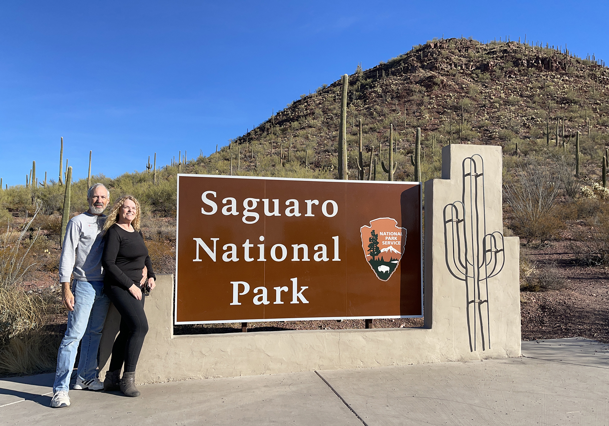
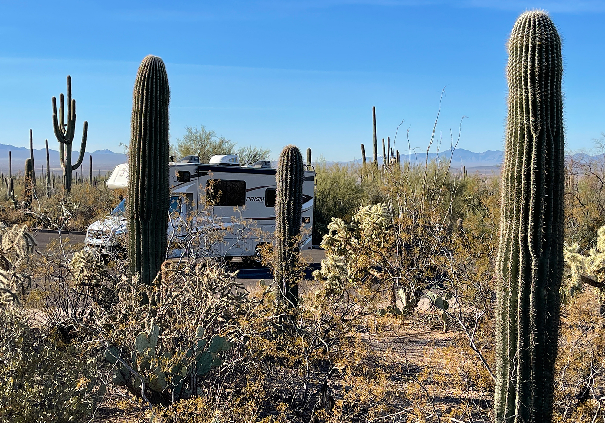
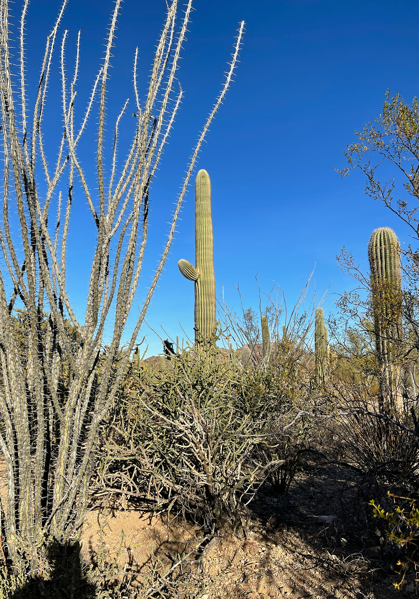
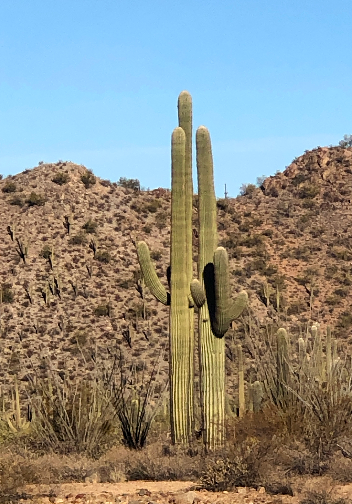
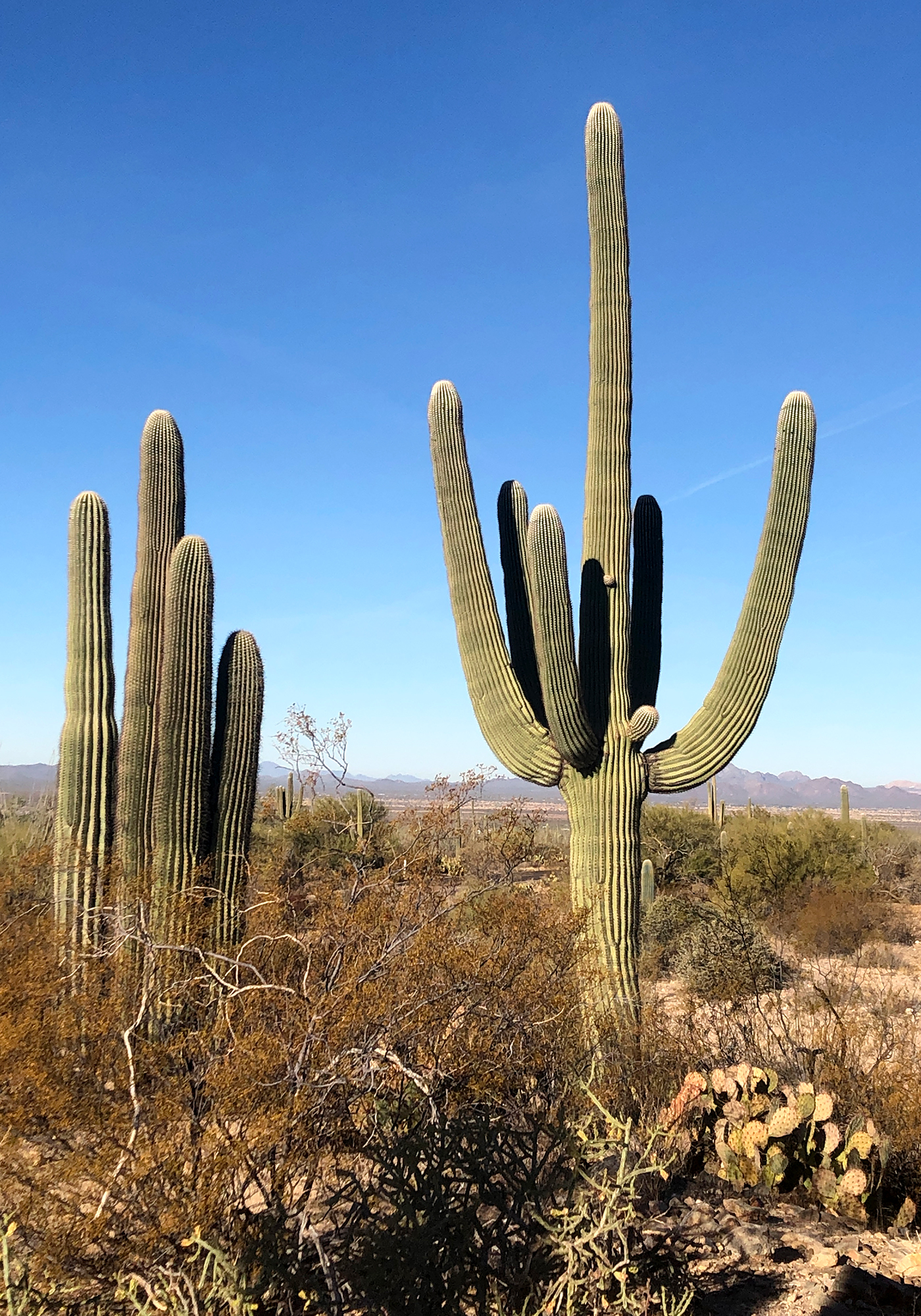
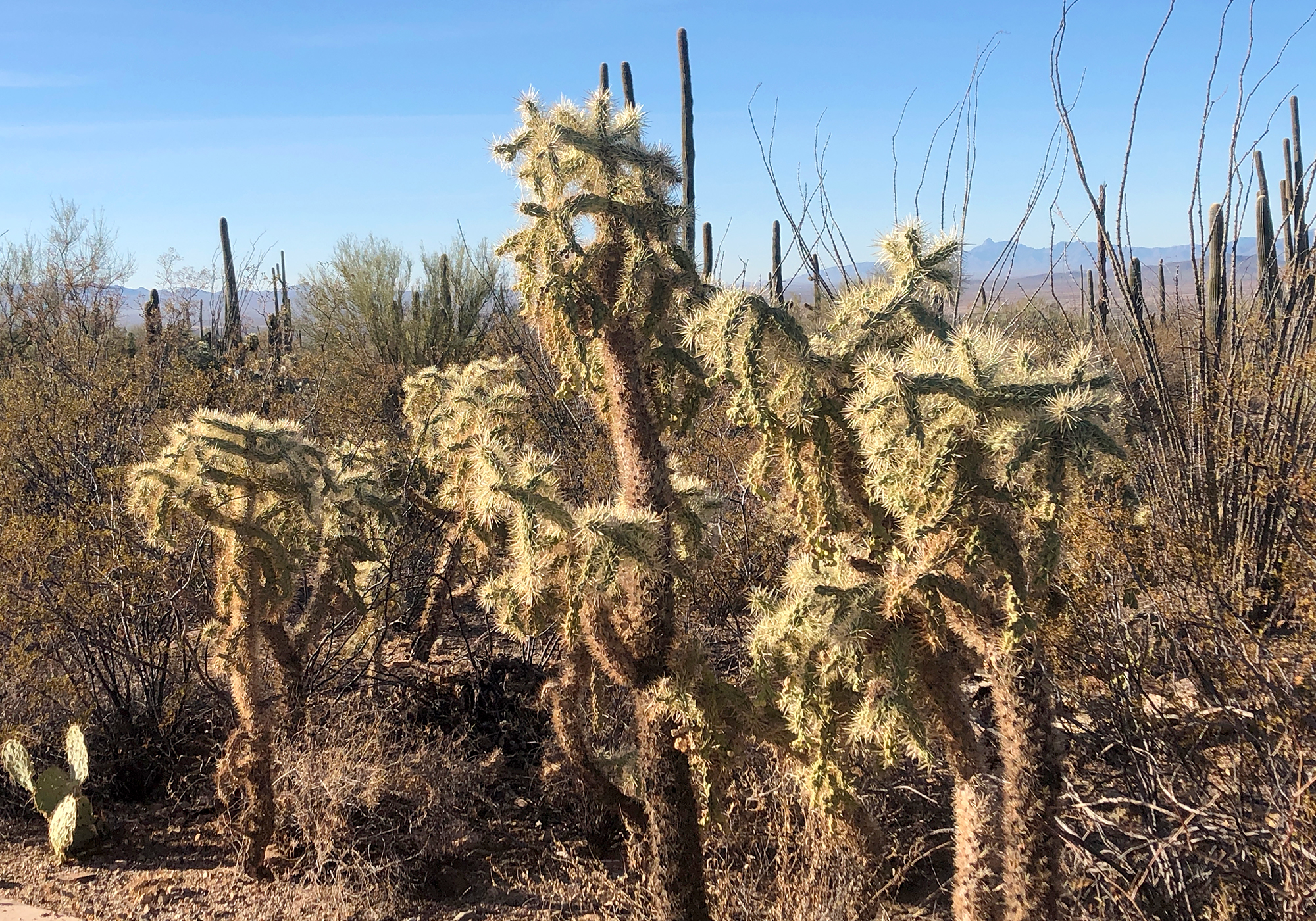
It’s hard to believe you can get tossed in jail for up to 25 years for cutting down a saguaro, there are hundreds of square miles where they’re so dense you can hardly walk through them. Not that we’re advocating cactus-cide but 25 years seems kinda stiff and applies even if they’re on private property and you only want to move it from one place to another.
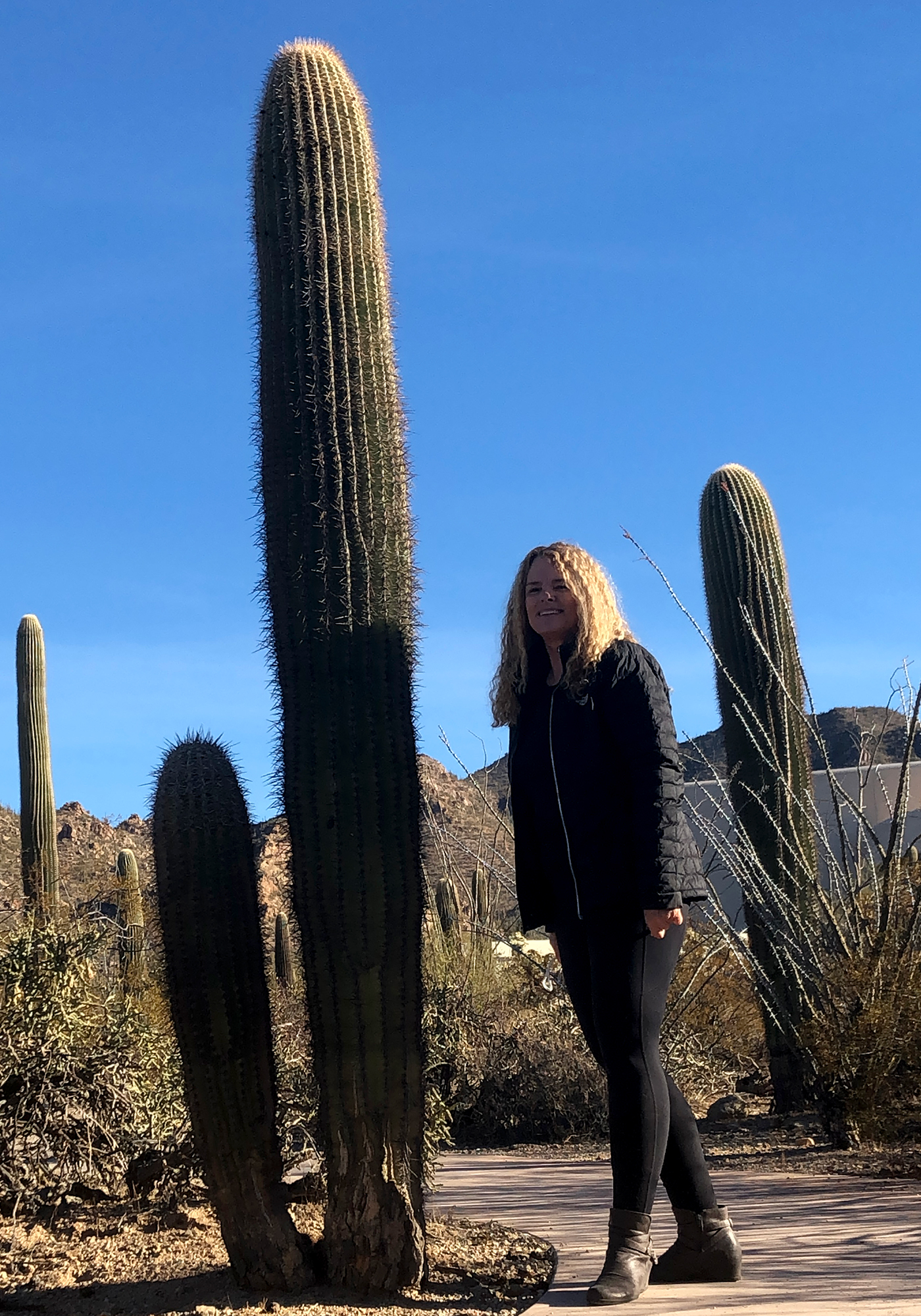
This garden at the visitor center boasts an impressive variety of all the cacti that can be found in the park.
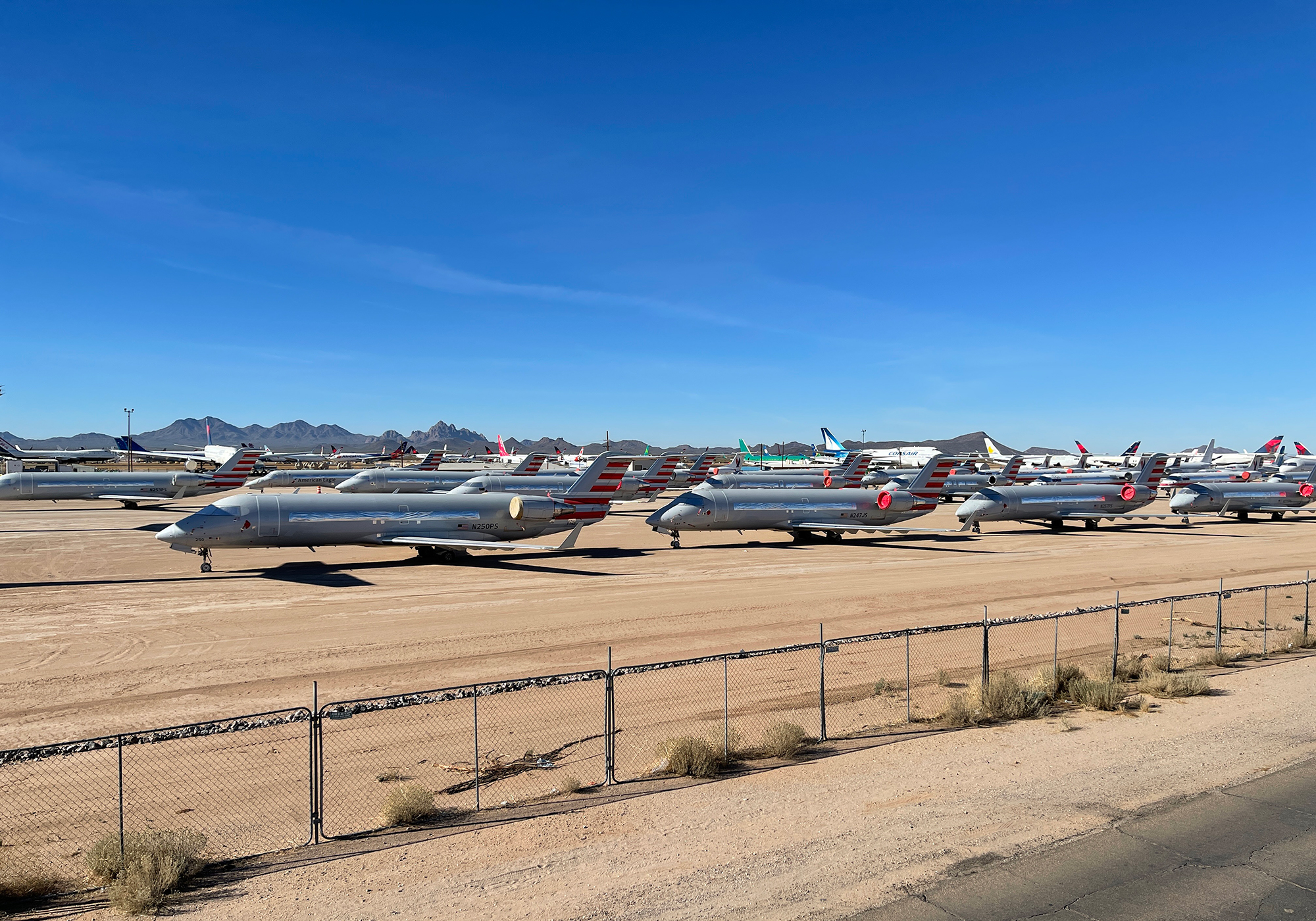
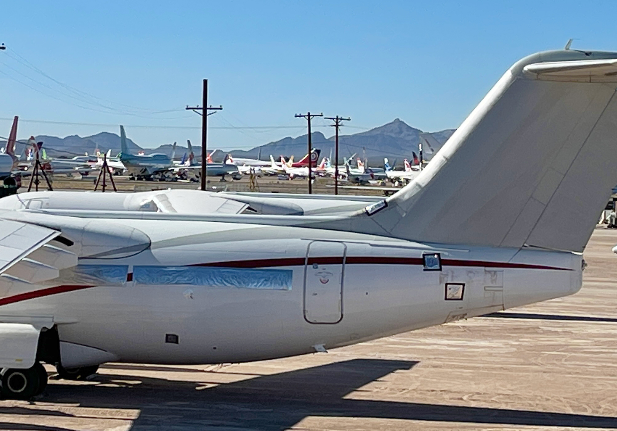
Were suckers for airplanes so when we saw the Pinal Airpark off the highway we had to pull off and check it out. Pinal’s desert climate mitigates corrosion and makes for a great location for a boneyard and storage for commercial aircraft.
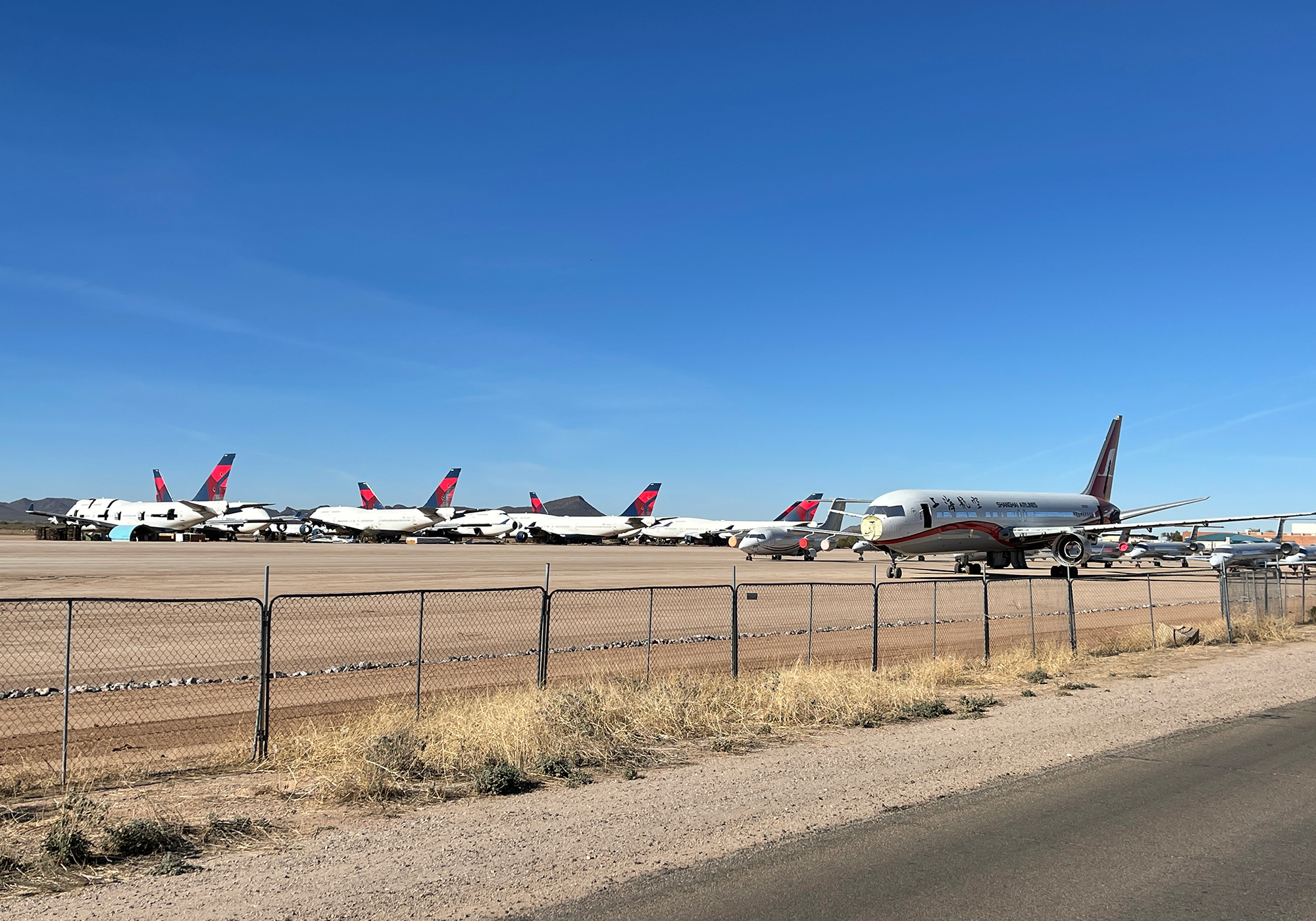

China Eastern Airlines MD-82: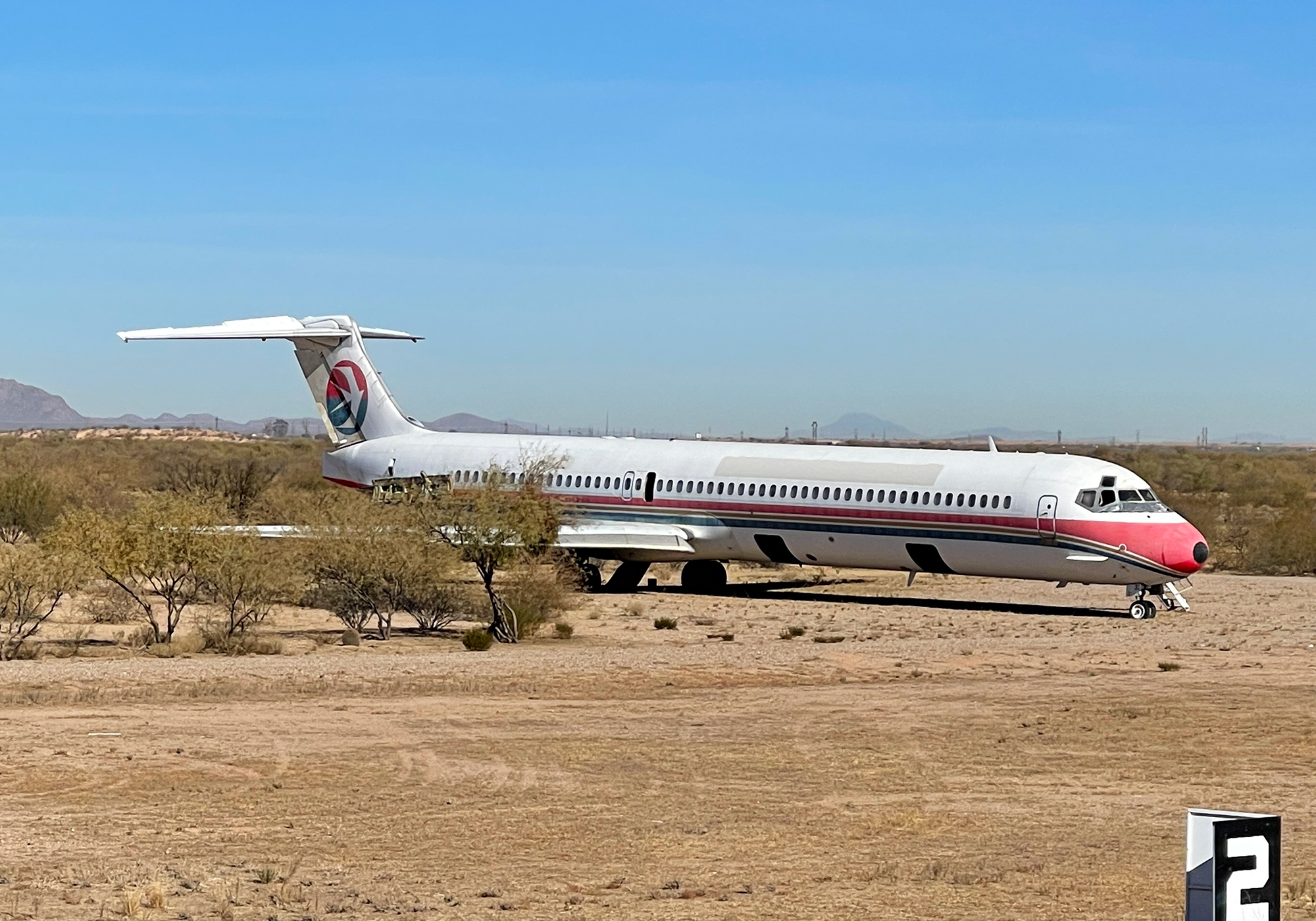
A wingless 747-300: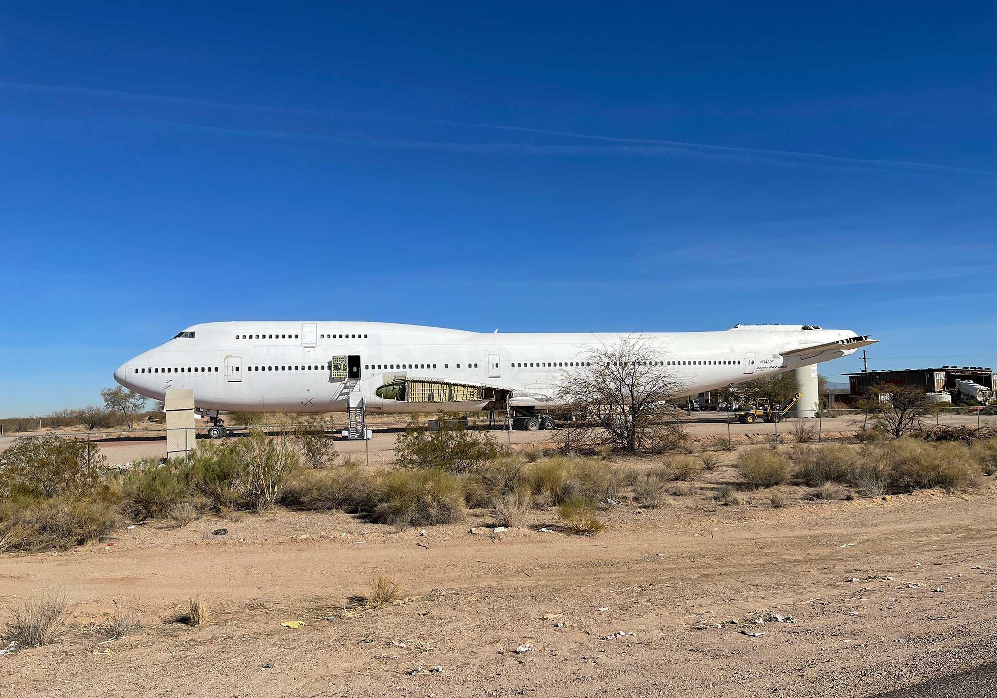
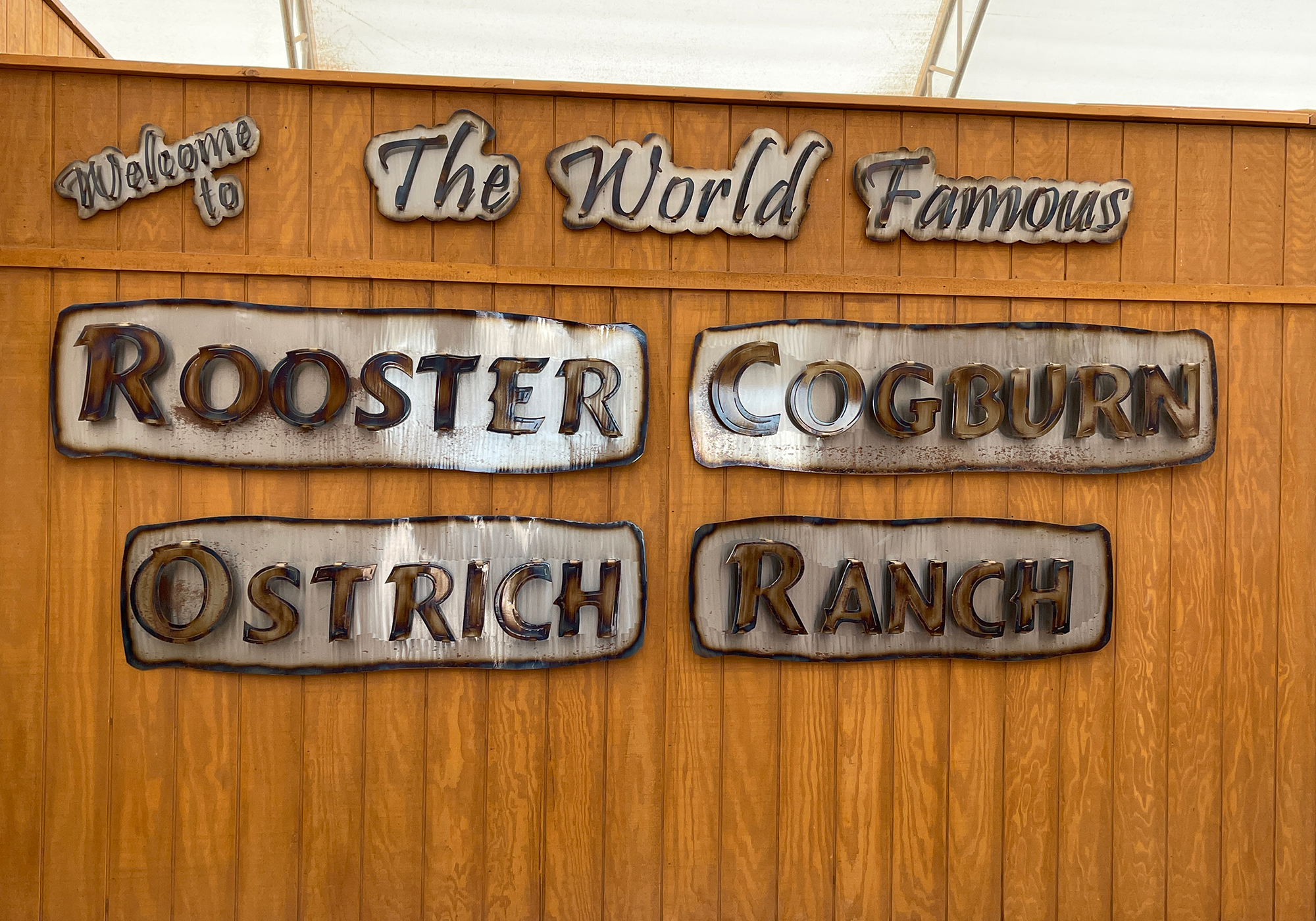
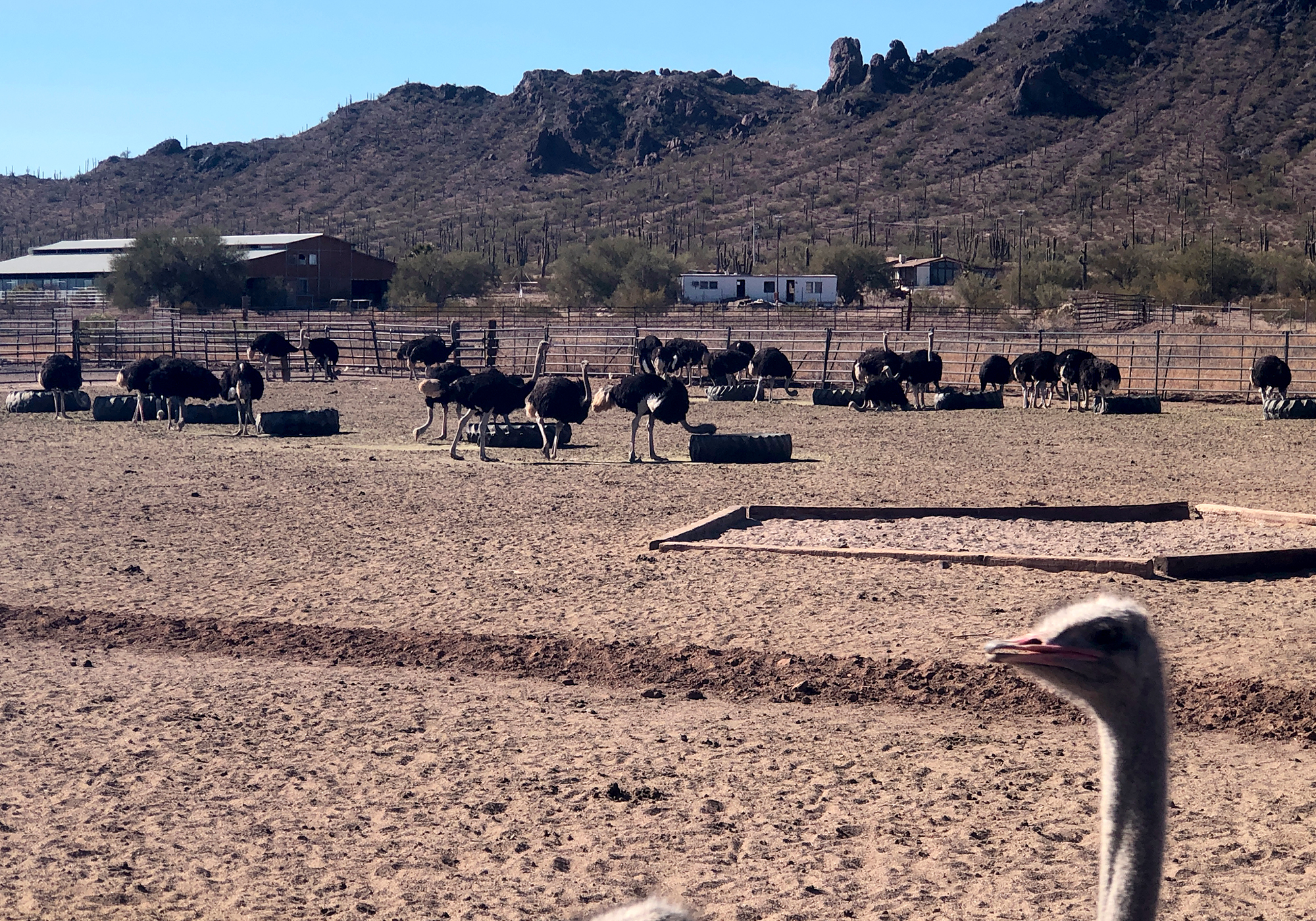
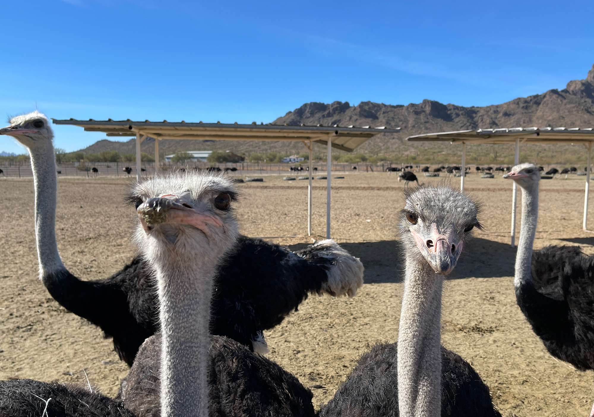
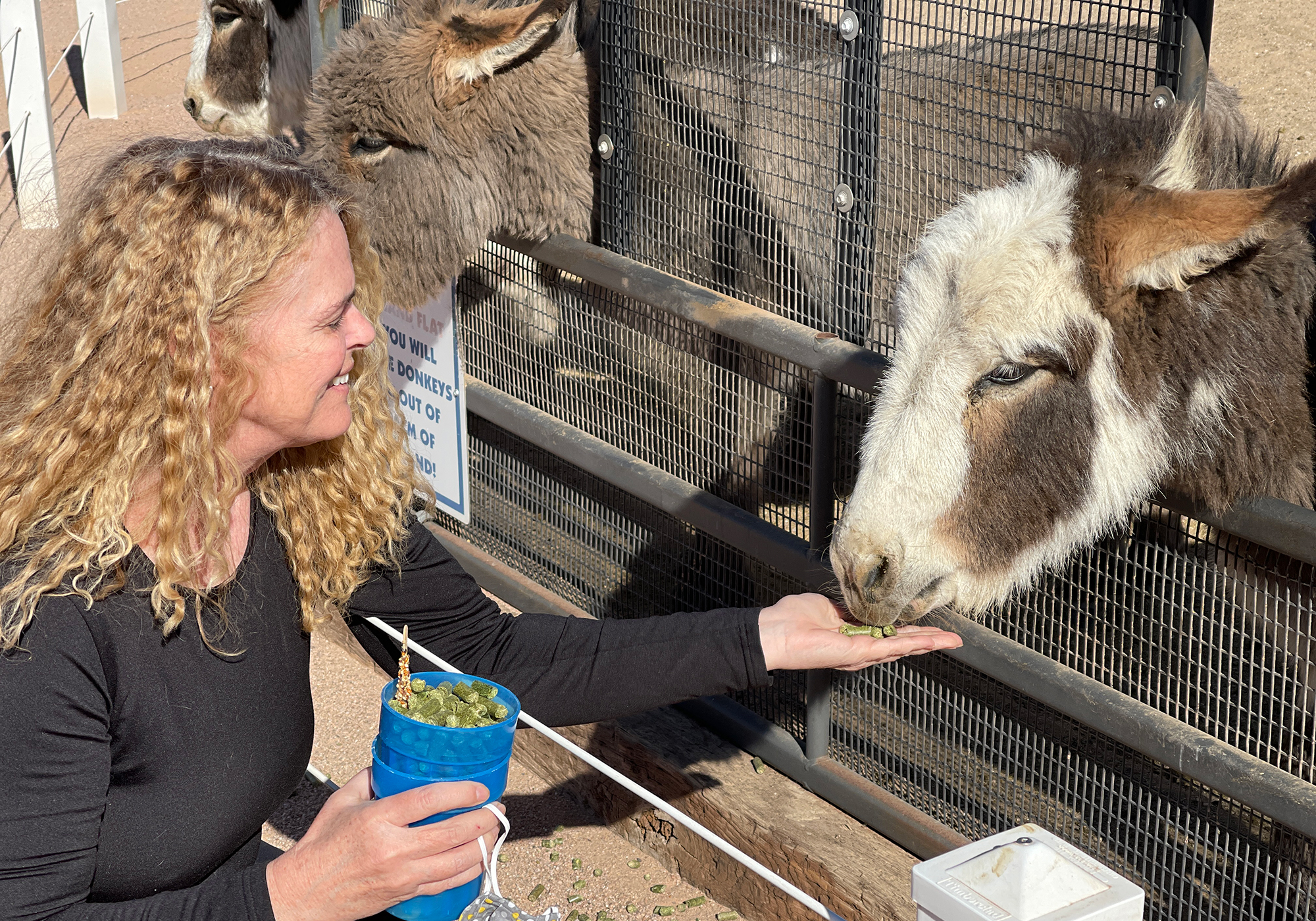
We really had no choice but to stop when we saw the sign for Rooster Cogburn Ostrich Ranch (images of John Wayne were conspicuously absent but apparently the family that runs this ranch are Coburns and related to the Rooster who was the basis for the movie). These folks figured out how to increase their profit margin by charging people like us $12 each to feed their osteriches, lorikeets, goats, deer, miniature donkeys, ducks, sheep, parakeets, bunnies, and stingrays (the rays cost extra). Regardless of the price, it was fun and the animals all appear to be well cared for so if you’re in the area, give it a try.
A miniature donkey:
A fallow deer: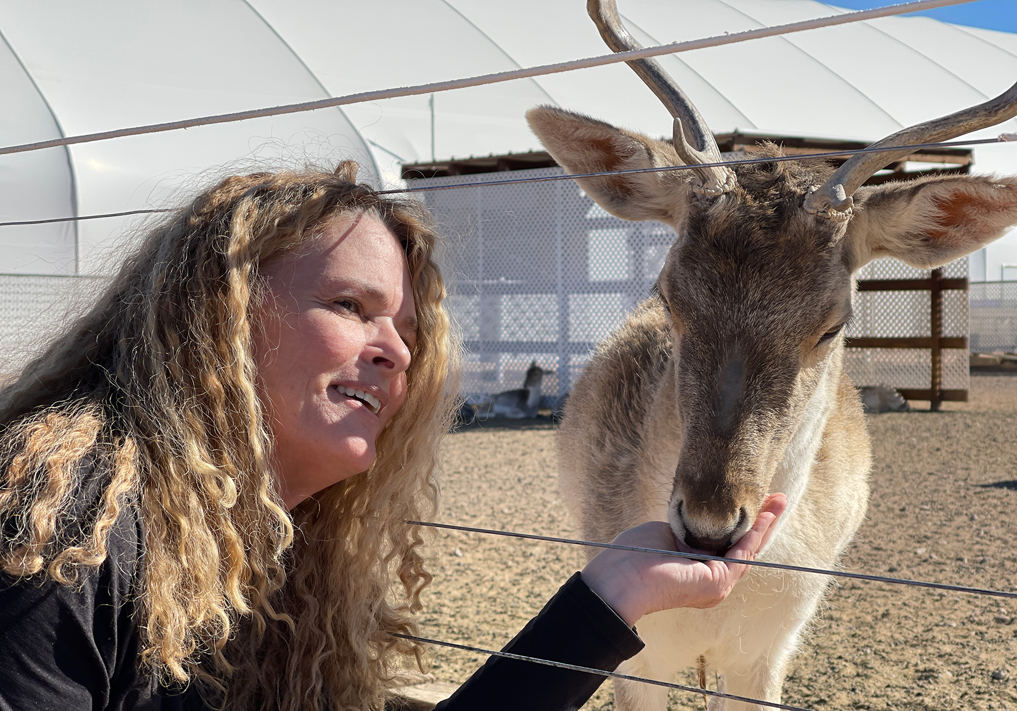
A deer-ette: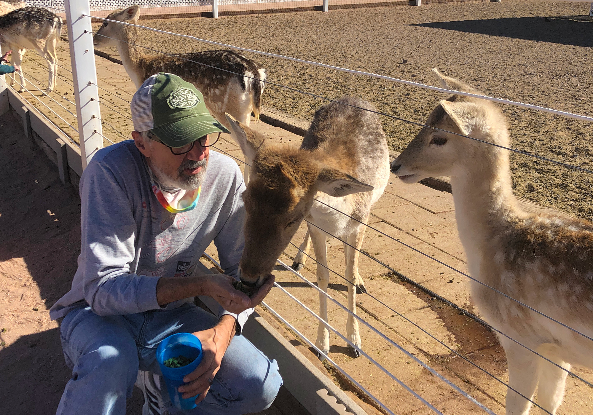
Parakeets: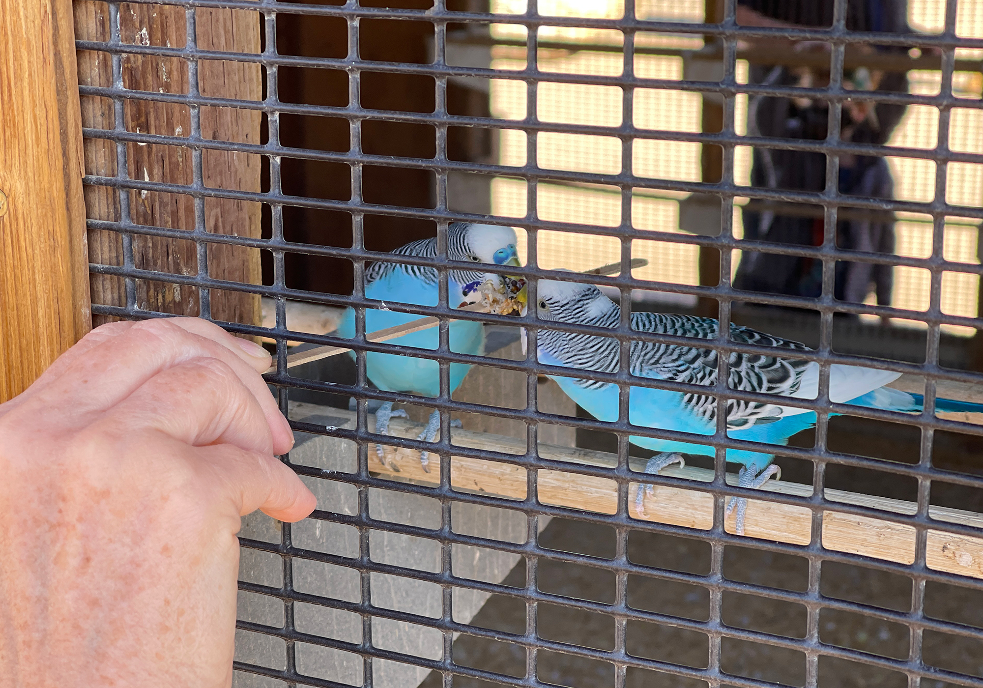
Desperate for attention, Laura gets kisses any way she can: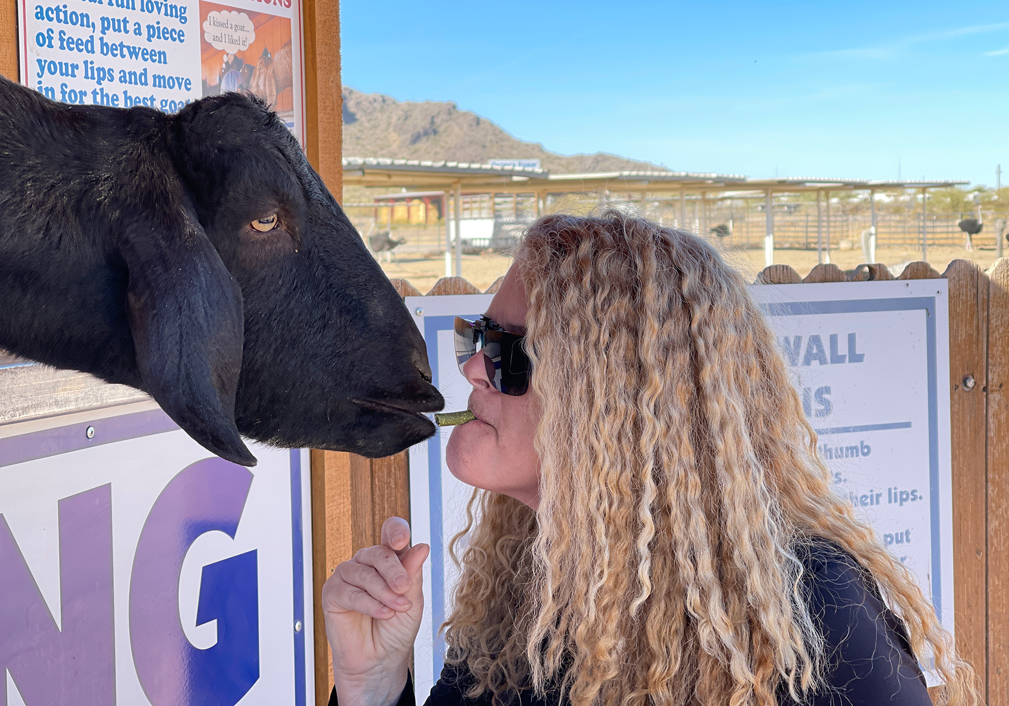
A bunny: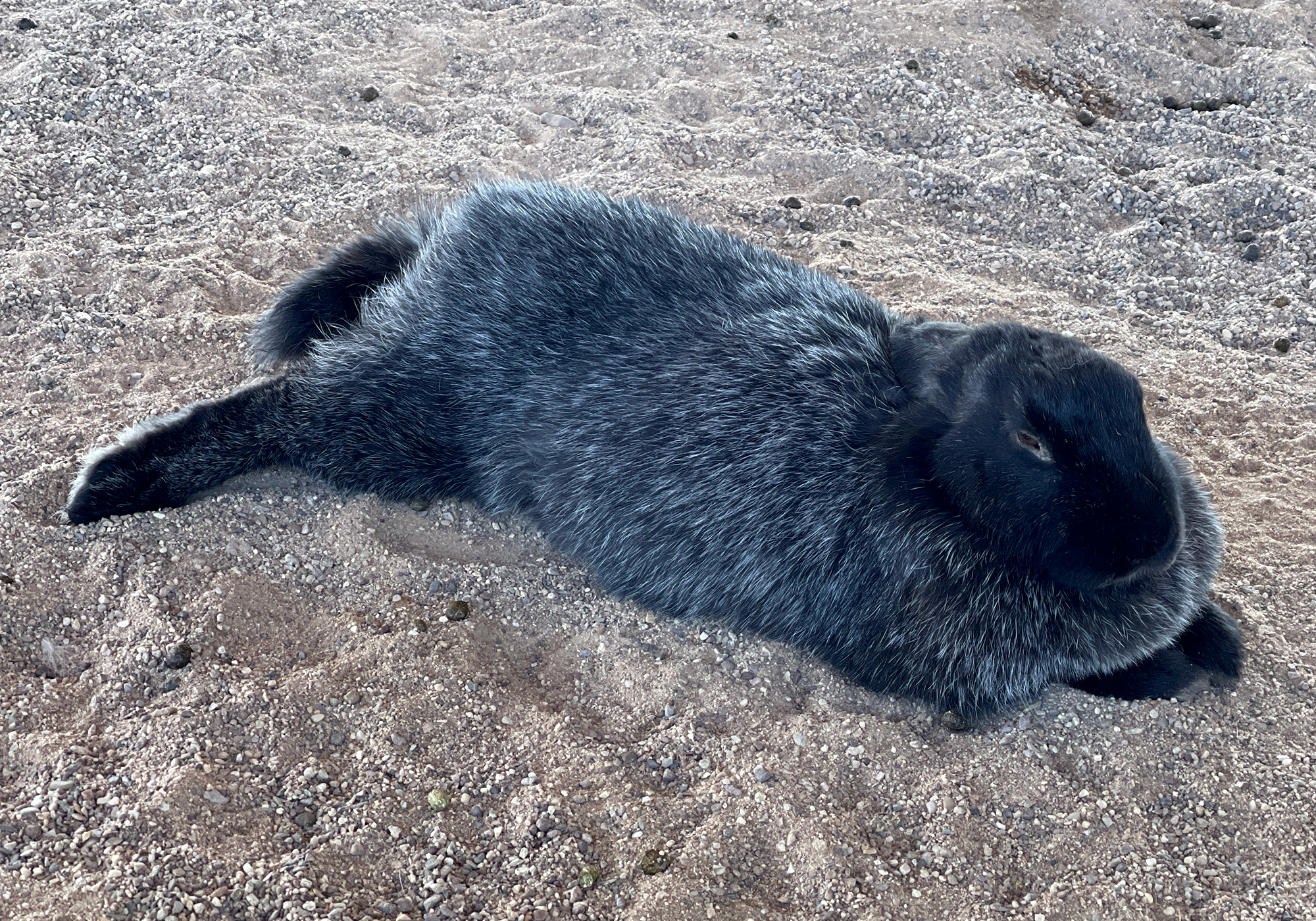
A bunny with spots: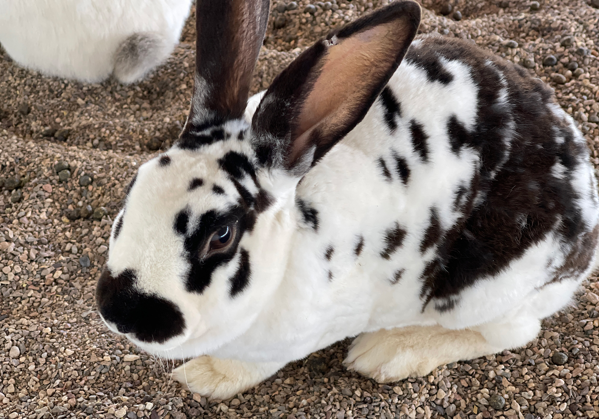
St. Croix Sheep: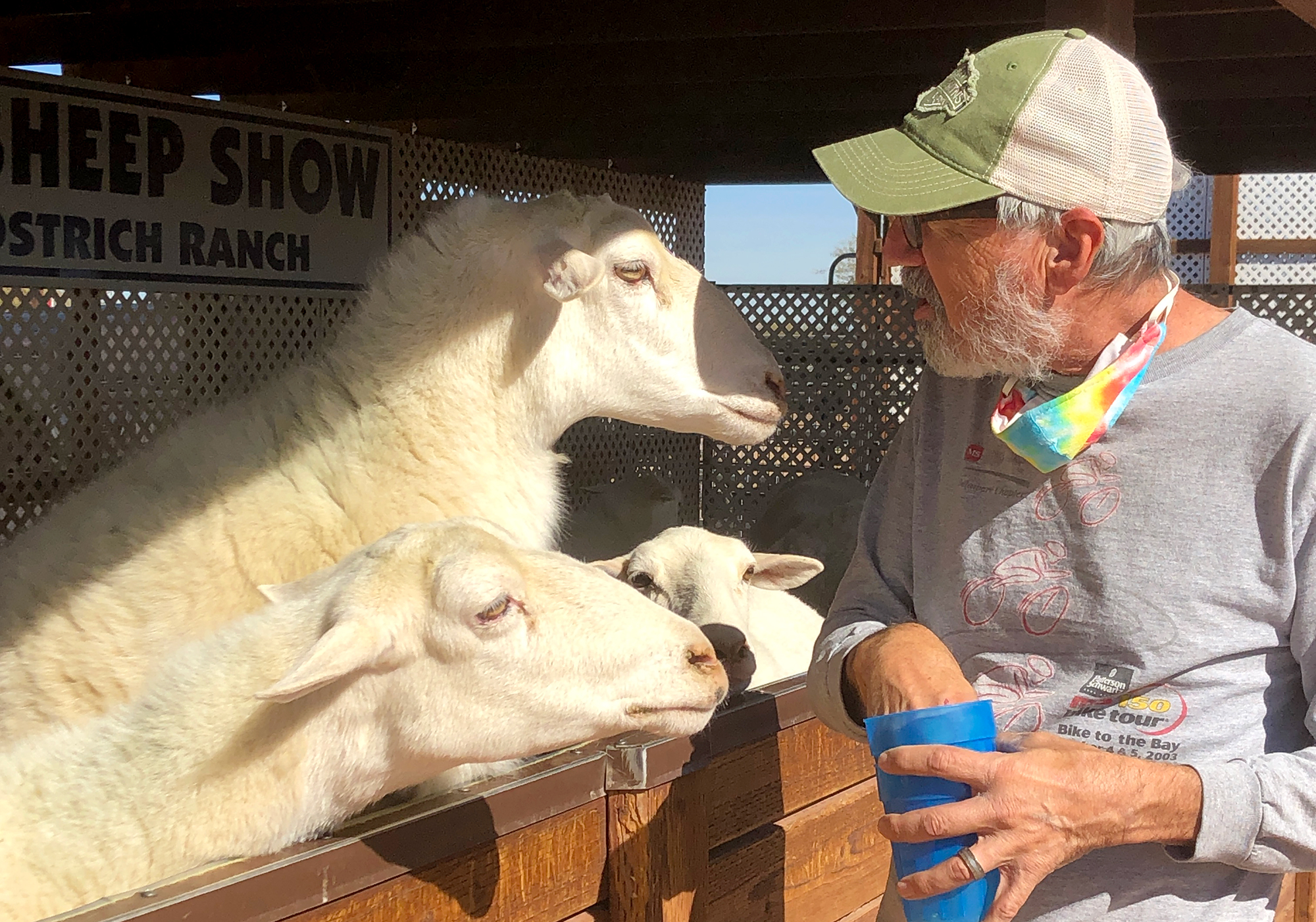
A dwarf goat: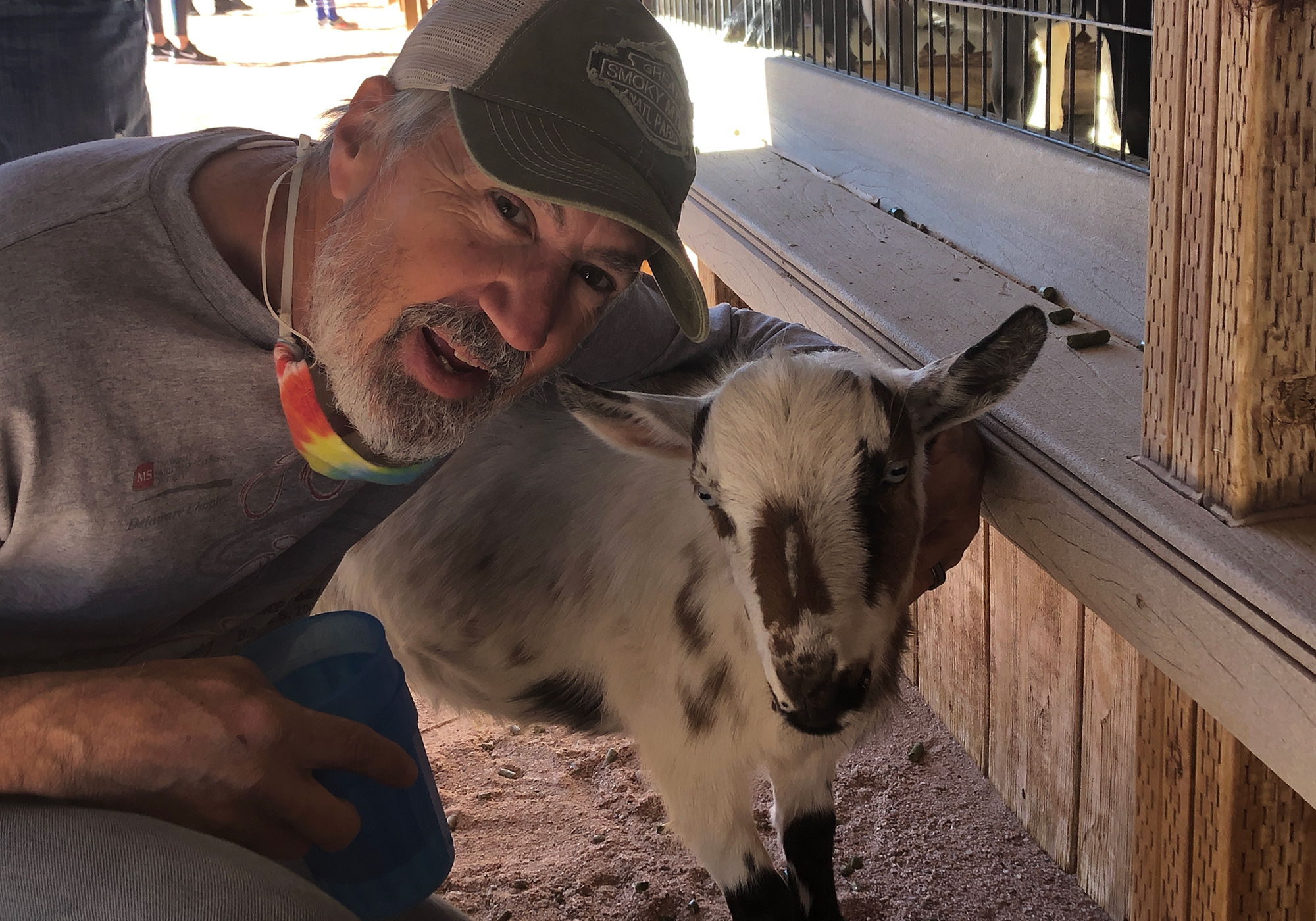
A rainbow lorikeet: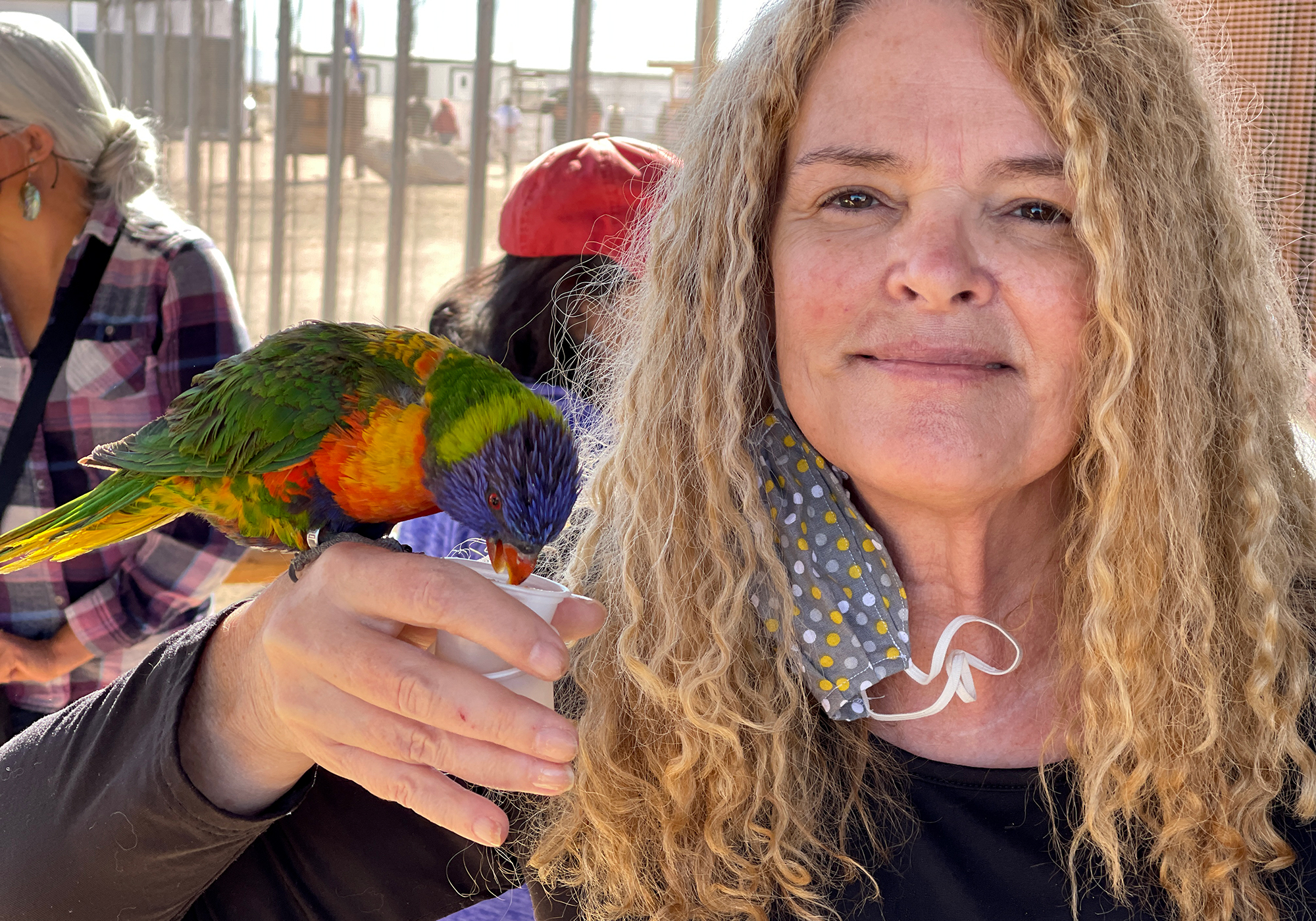
Apparently my mustache is sweeter than nectar: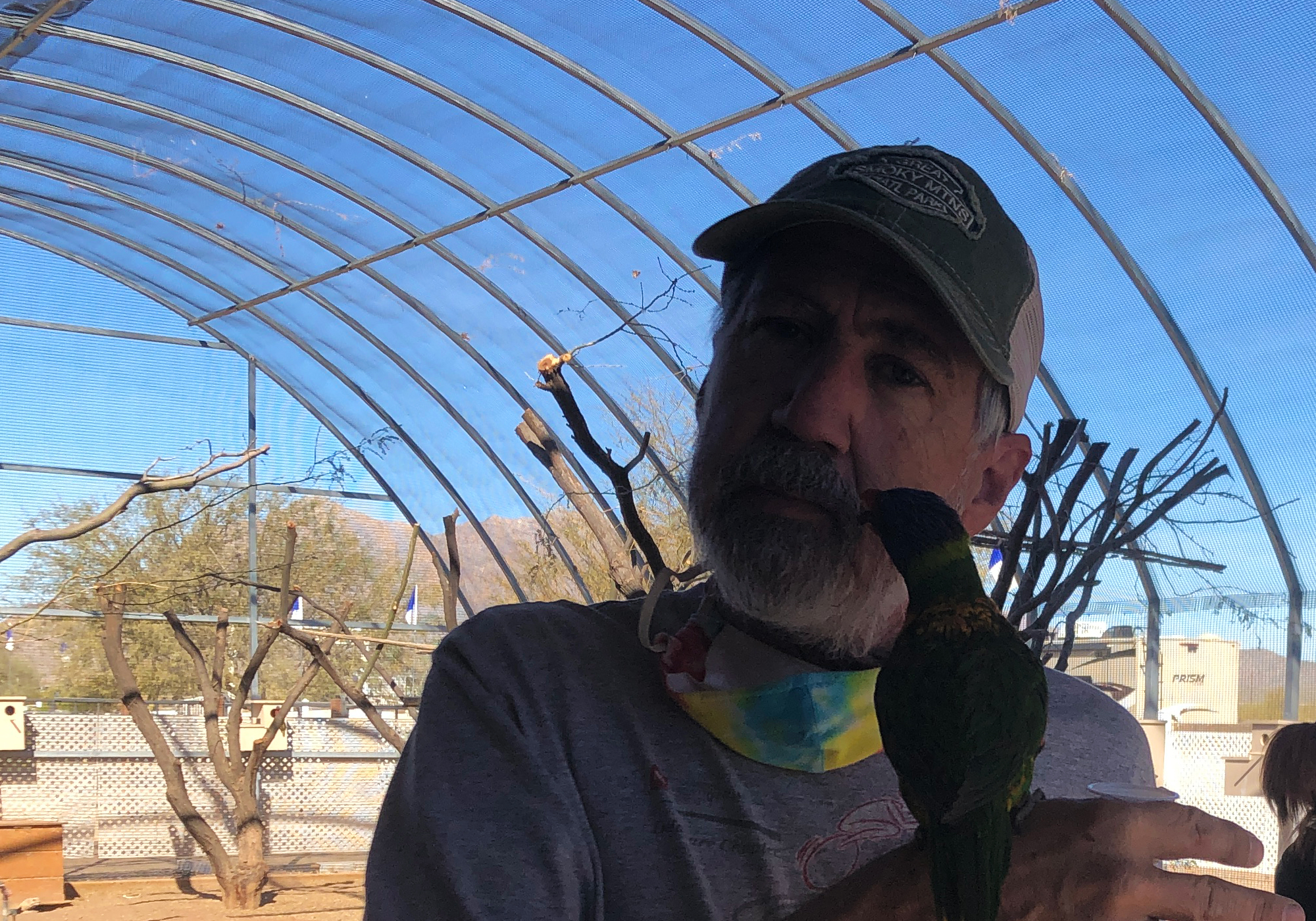
And finally, after a short but pleasant visit with Todd’s sister outside Phoenix, we finally came to the red rocks of Sedona…
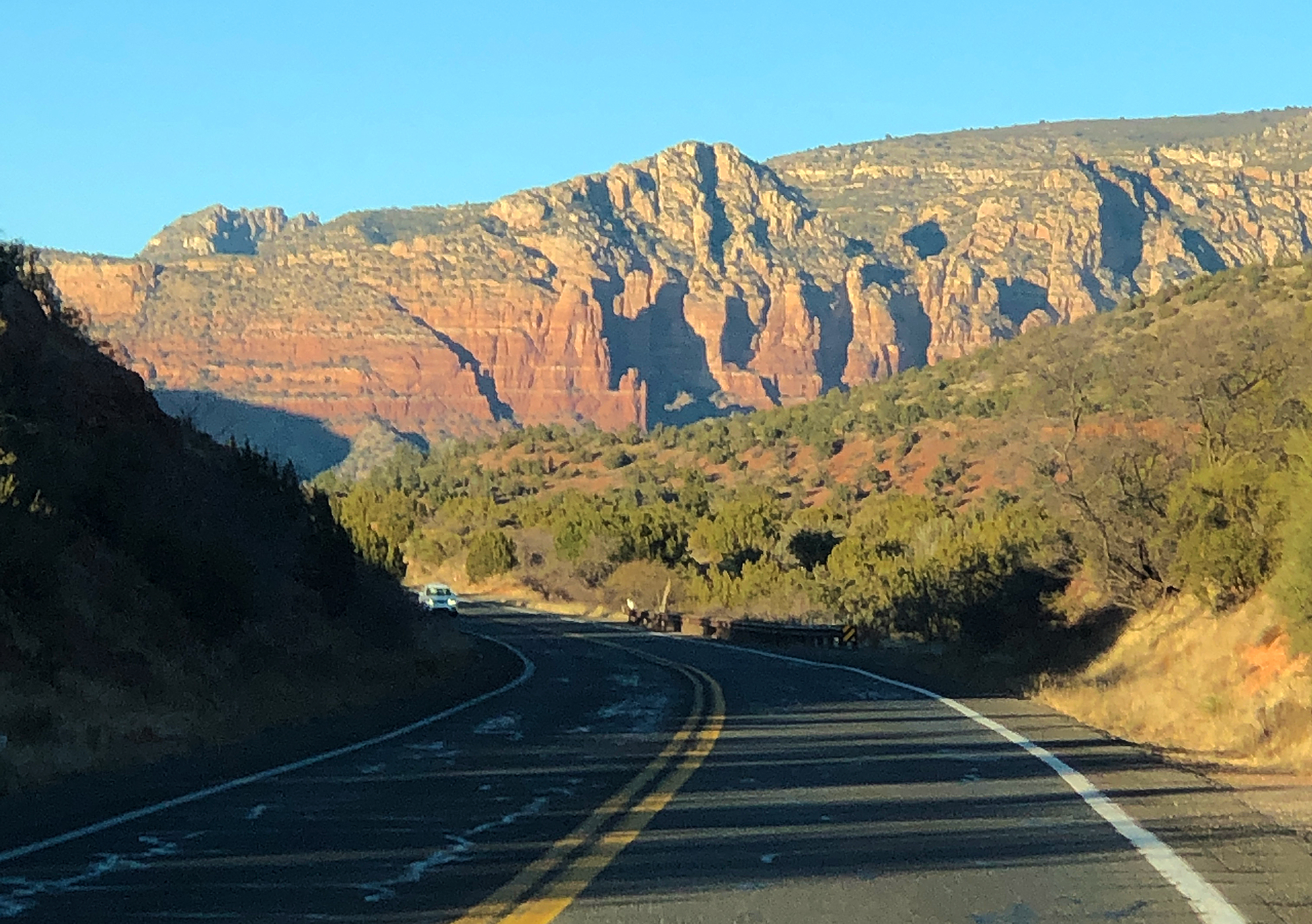
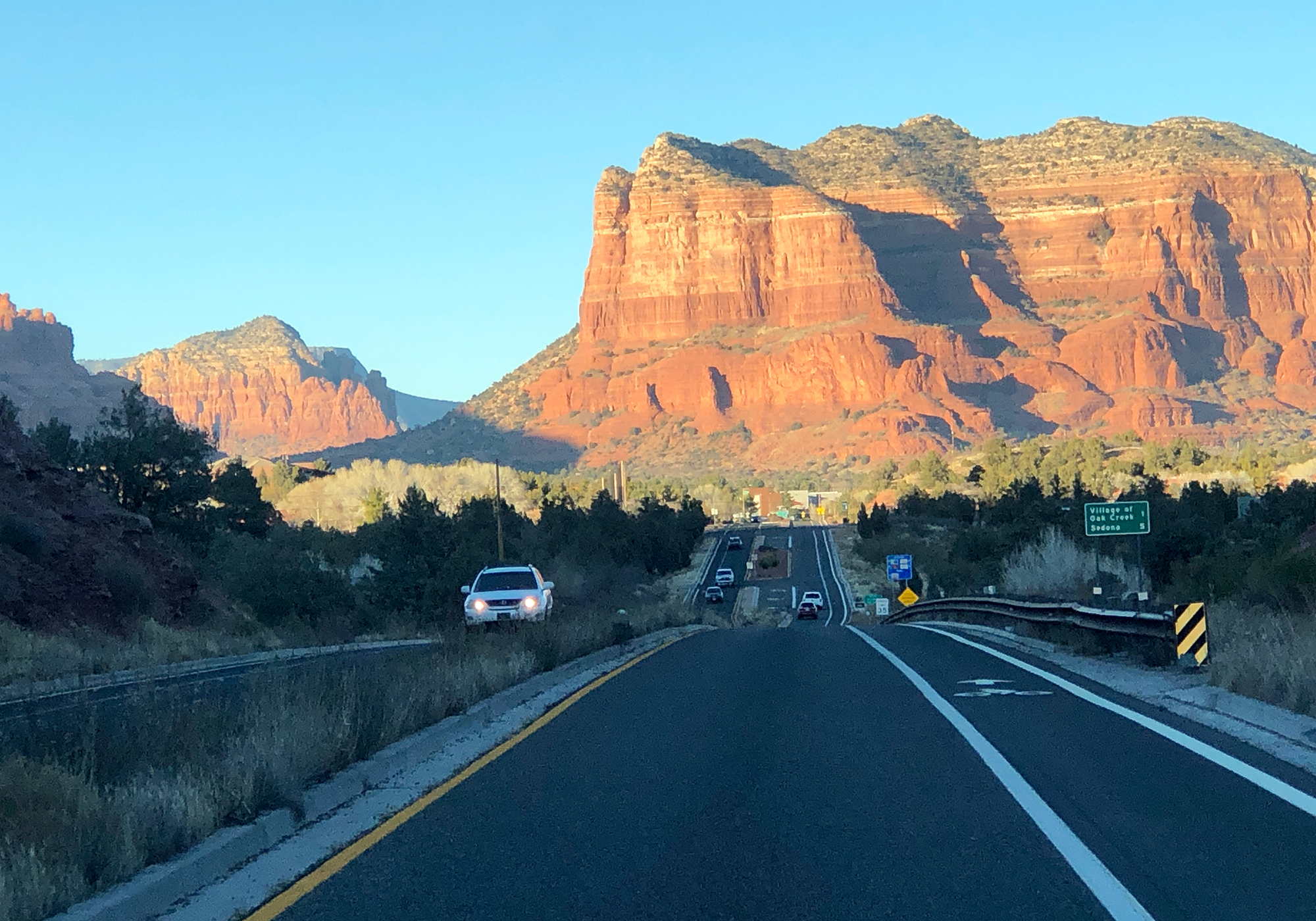
and our campsite for the week at the Rancho Sedona RV Park: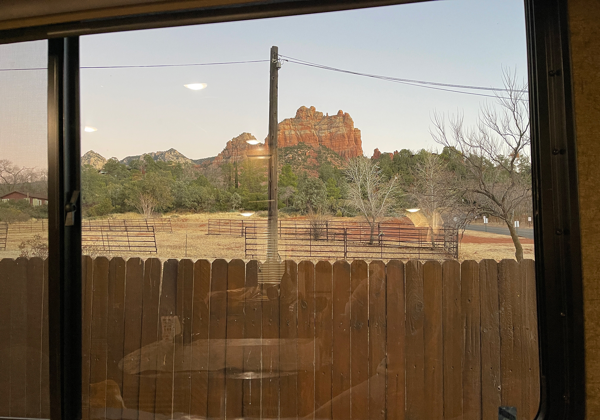
- Sedona
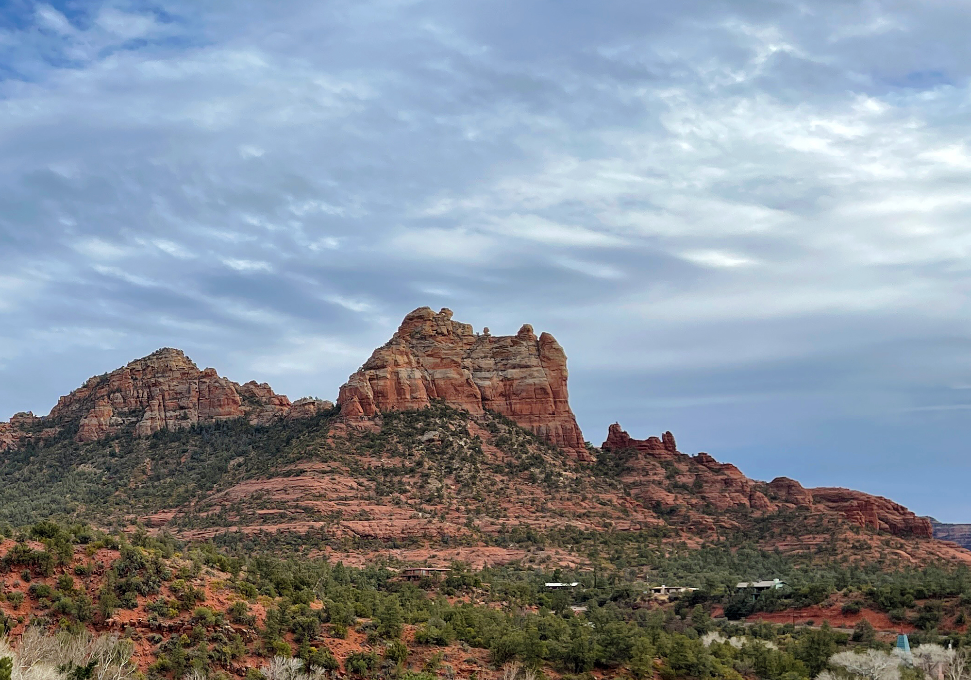
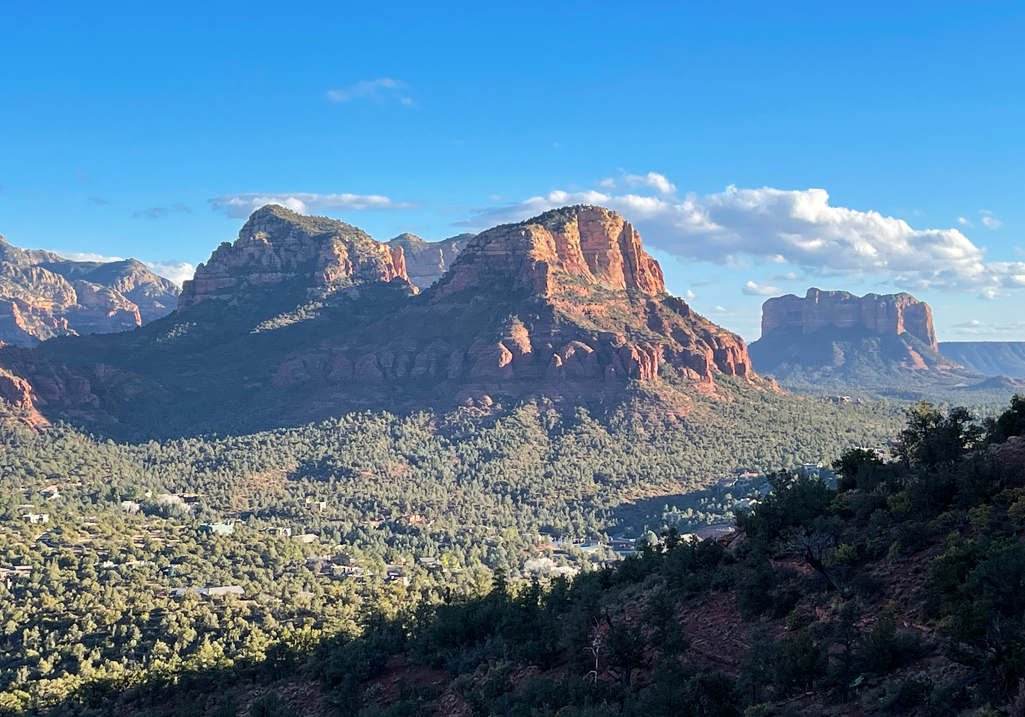
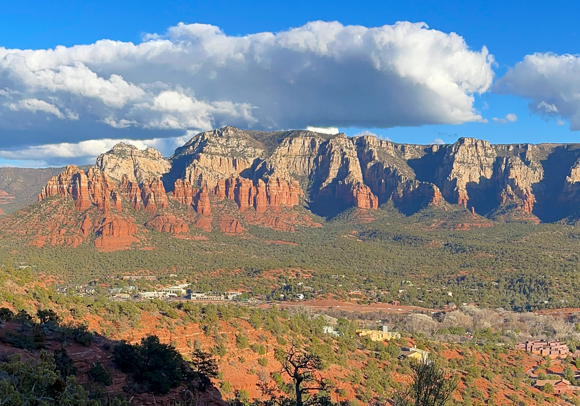
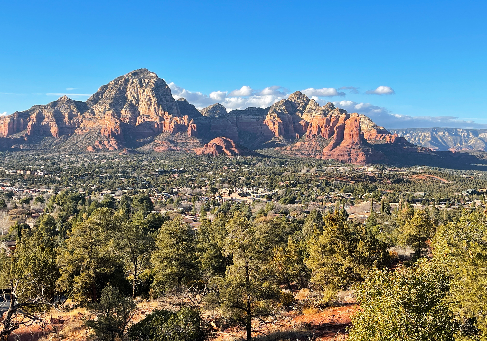
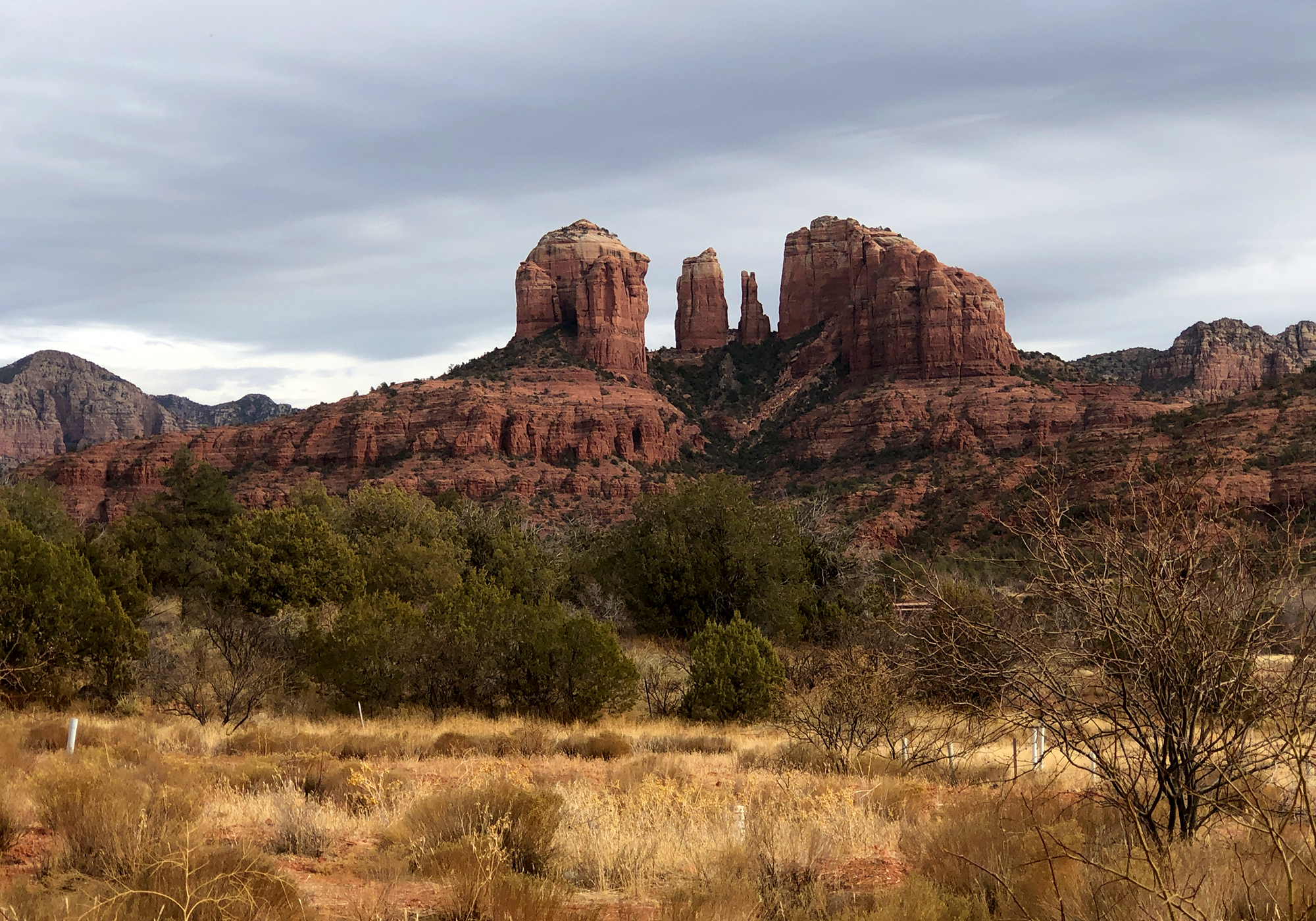
Sedona must be the most densely picturesque place we’ve ever been. Everywhere you look in any direction is a vista of beautiful 2,000-3,000 foot layers of sandstone and limestone. Set against the valley floor with it’s evergreen vegetation, the red and white escarpments, canyons and buttes are truly stunning at sunrise and sunset.Almost all of the buildings in town, primarily a mix of mid-century modern and modern adobe, have been designed and painted so that they blend into or complement the surrounding landscape.
Oak Creek:
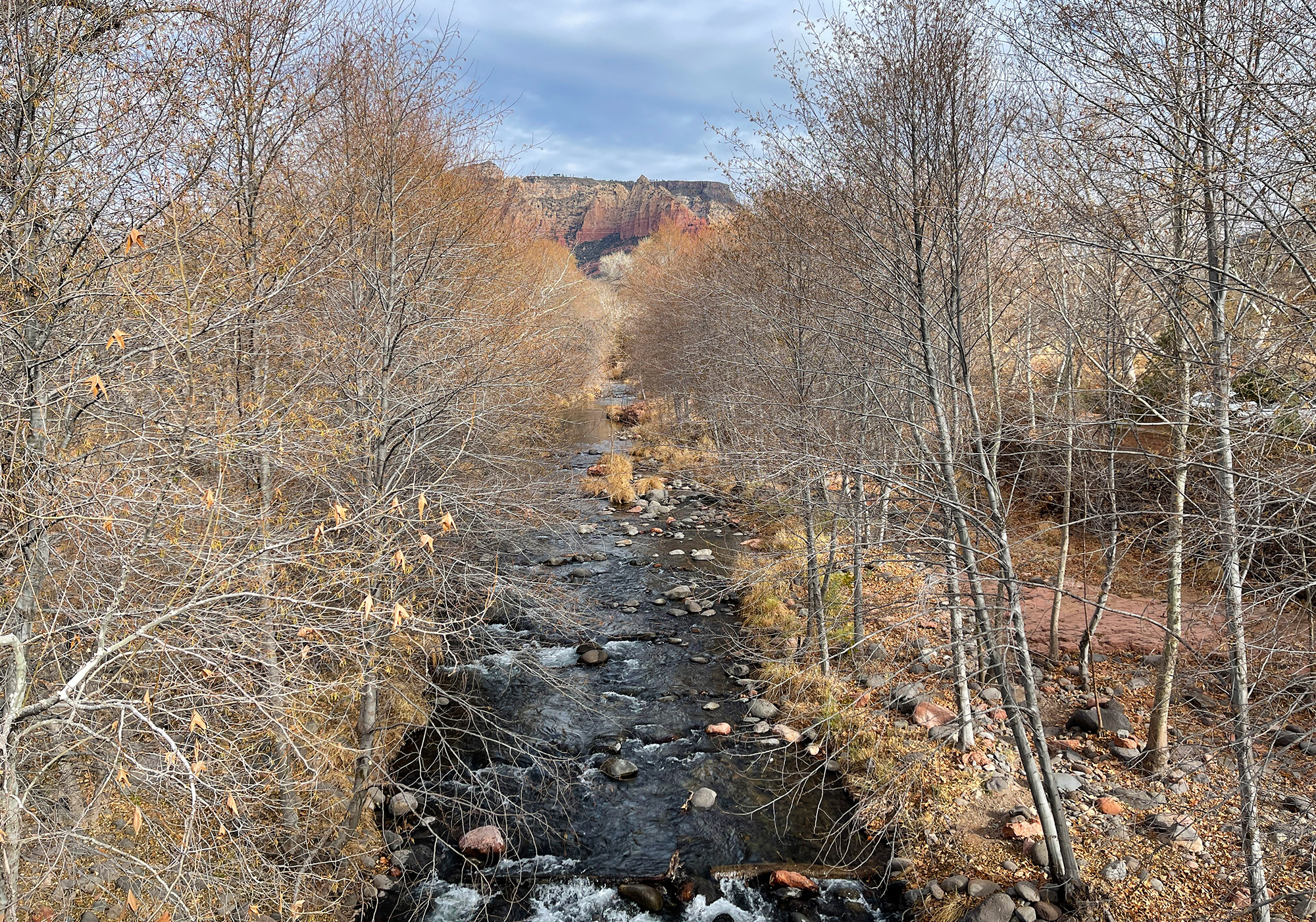
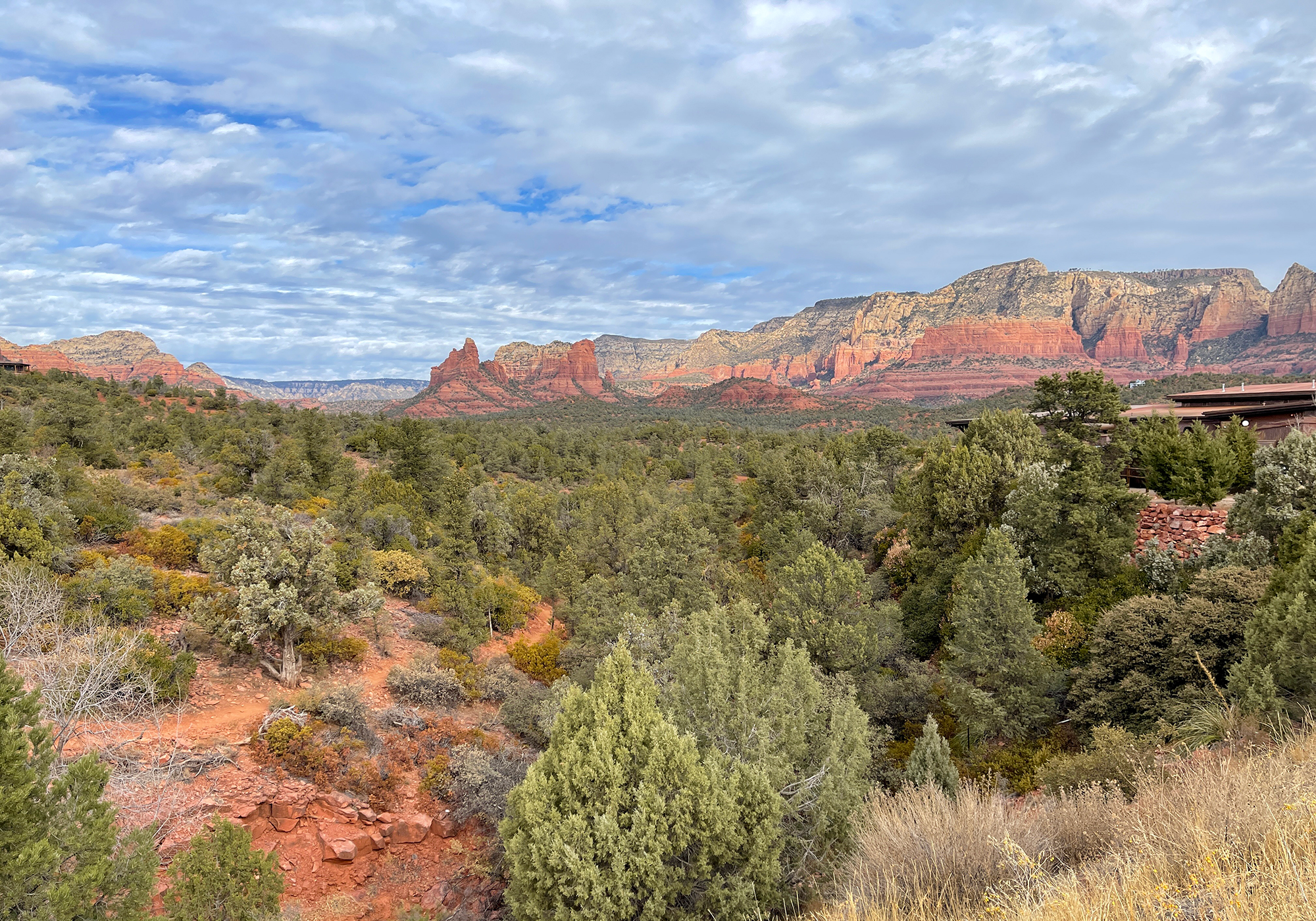
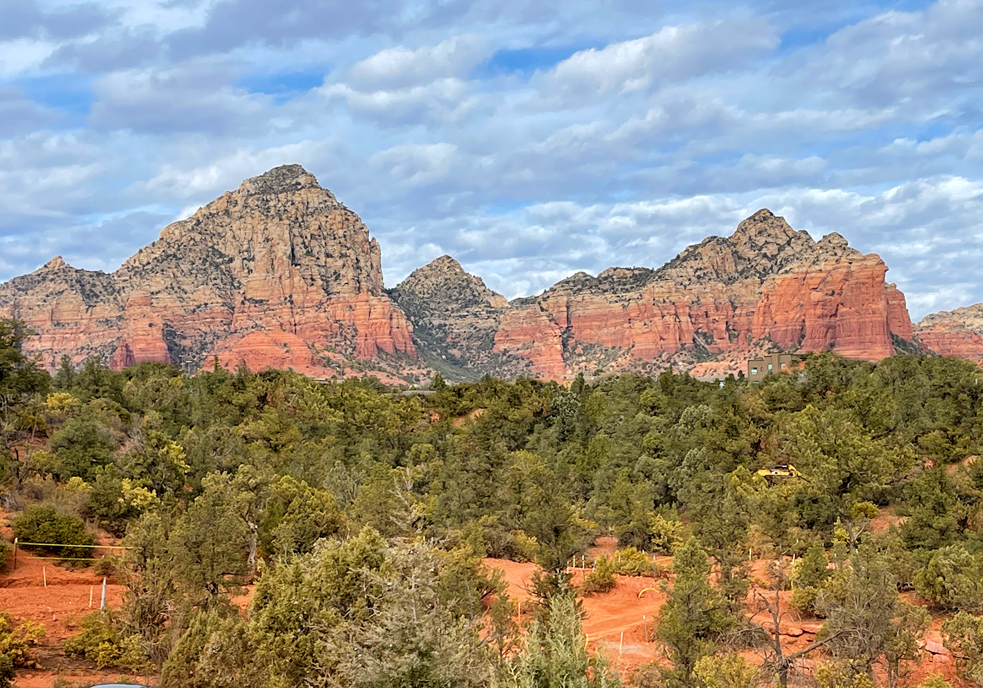
Merlin: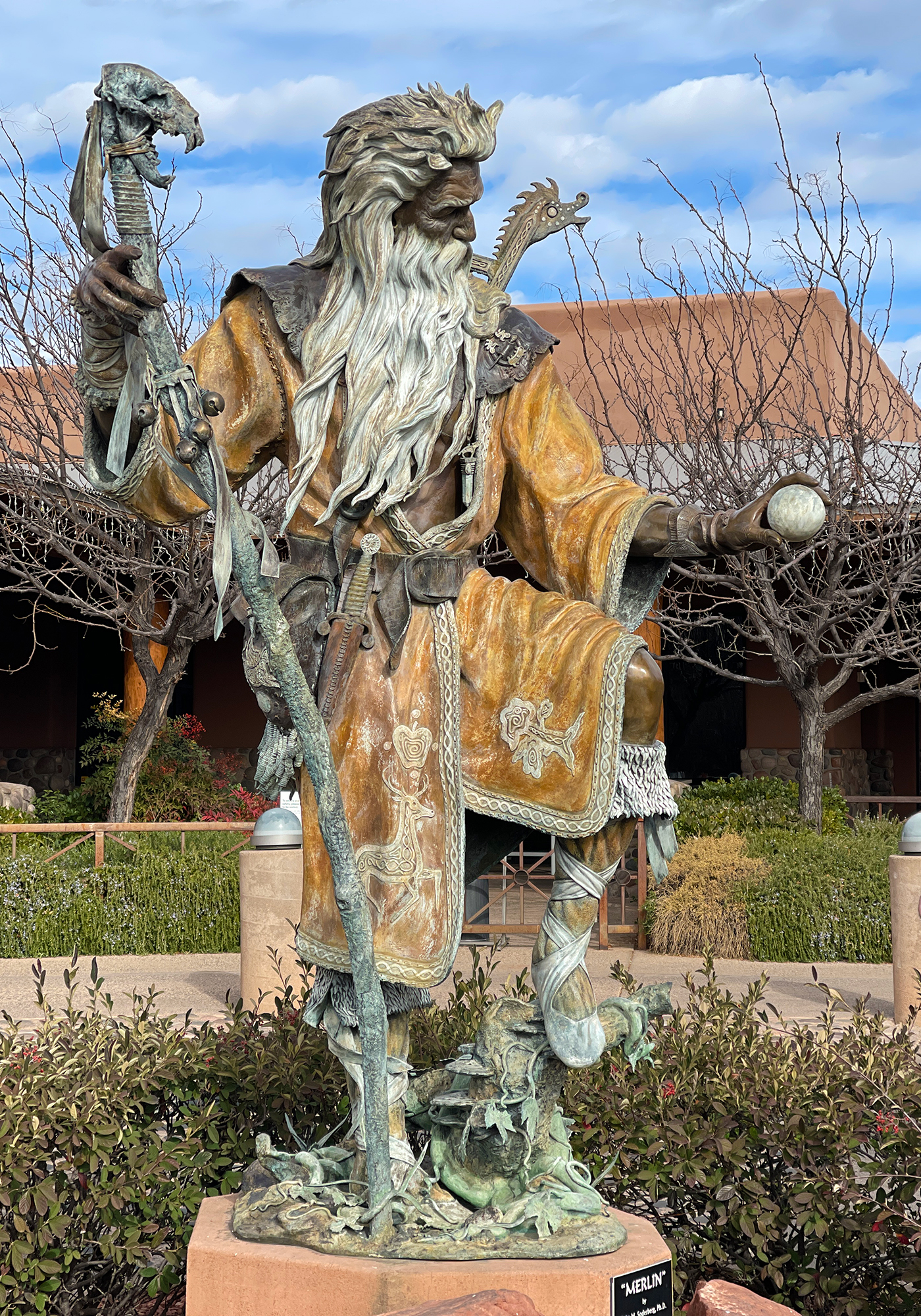
New home or spaceship?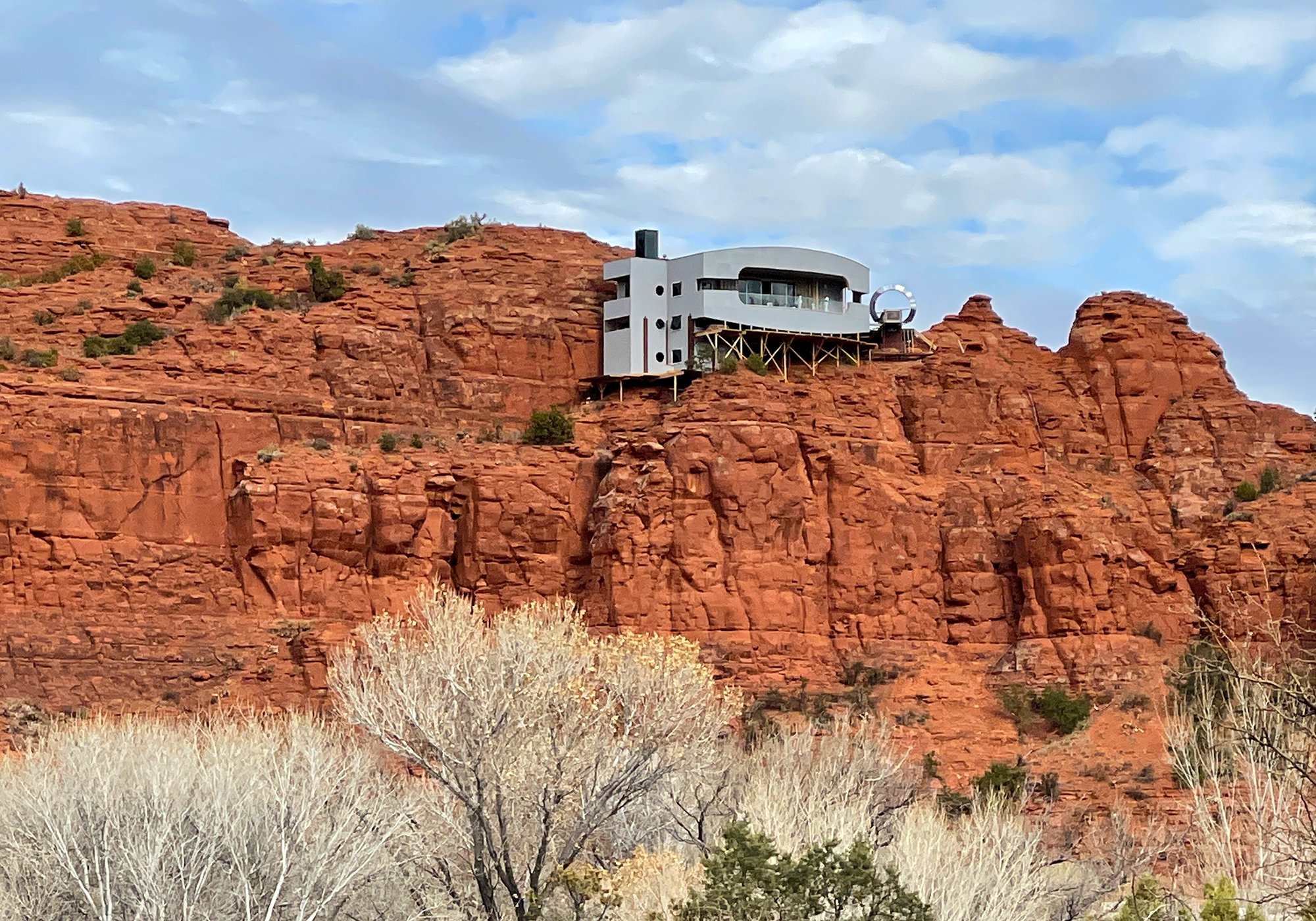
We’ll let the rest of the photos speak for themselves: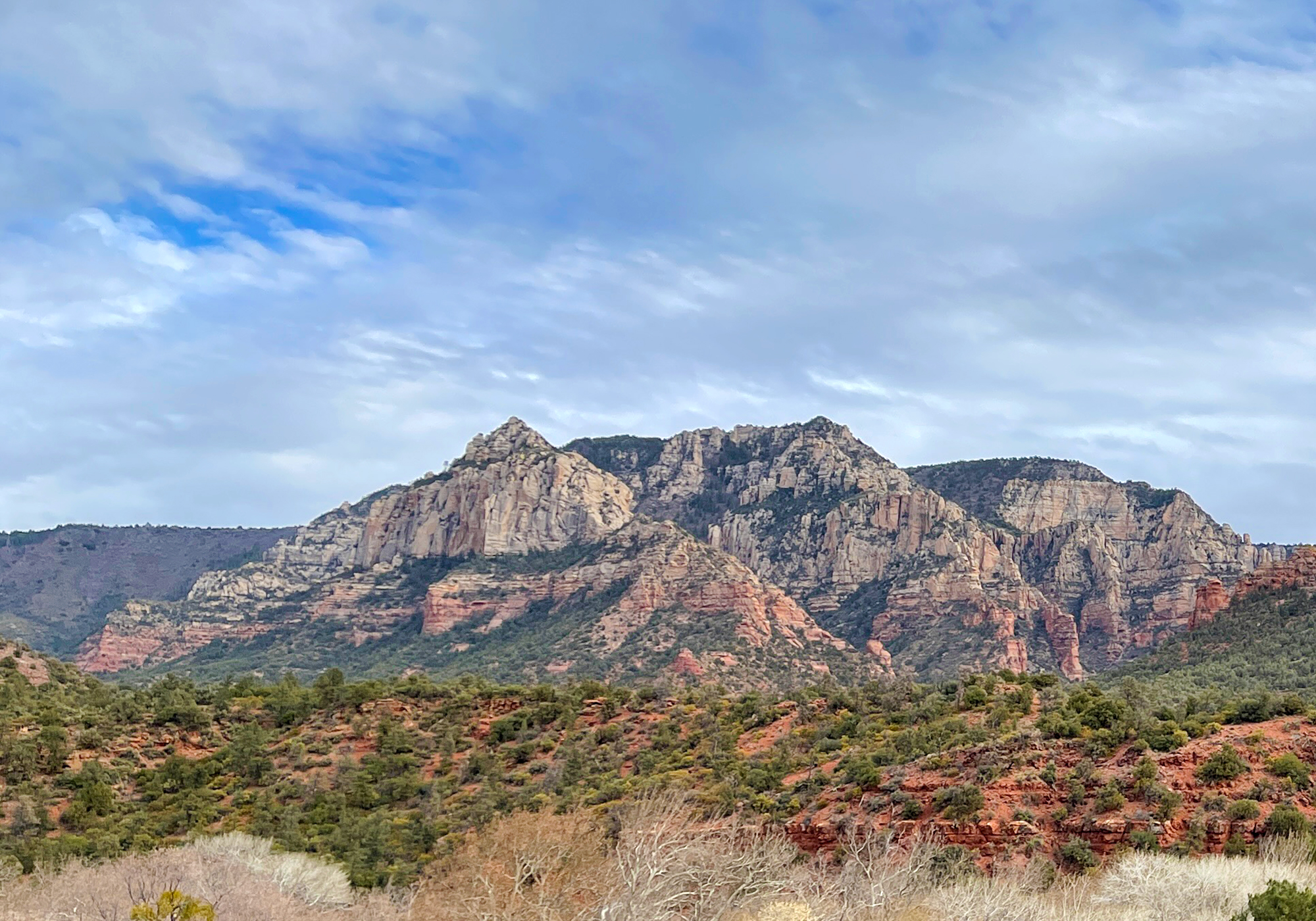
- Sedona becomes Snowdona
According to the internets “Snowfall isn’t prevalent, but the region does see a light dusting on the top of Sedona’s red rocks (around 3 1/2 inches annually)”. So we were only kinda worried about getting out of town before the forecast storm hit. But we’d been watching the forecast for the last few days and it continued to tell us that Sedona was going to get several inches of snow. So we were also only mostly worried about getting out of town before the storm hit.When we factored in the chance of having to drive the RV in the snow (something Laura is not overly fond of in any vehicle) and that the only ways out of town were: South – the direction we just came from and at least 2 hours out of our planned route, West – through Jerome and on to a very curvy mountain road, or North – the way we wanted to go but up quite a bit in elevation and a higher risk of measurable snow, we ended up deciding to blow town a day early.
We went to bed hoping to get an early start and stay ahead of the worst of the weather. We woke to lowering clouds, packed up, returned the rental car and took the northern route.
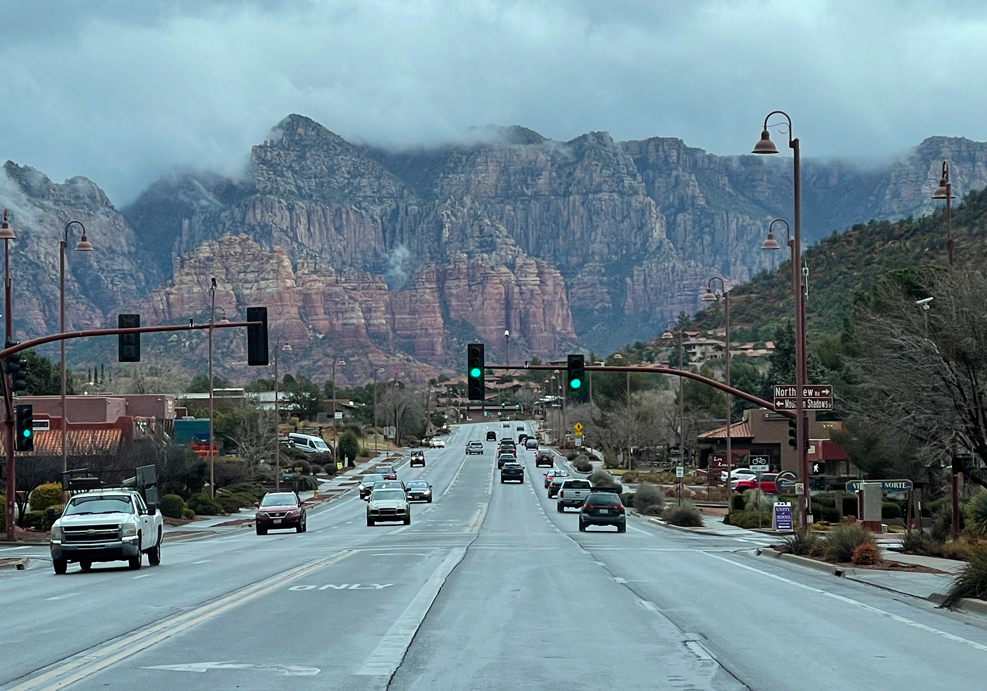
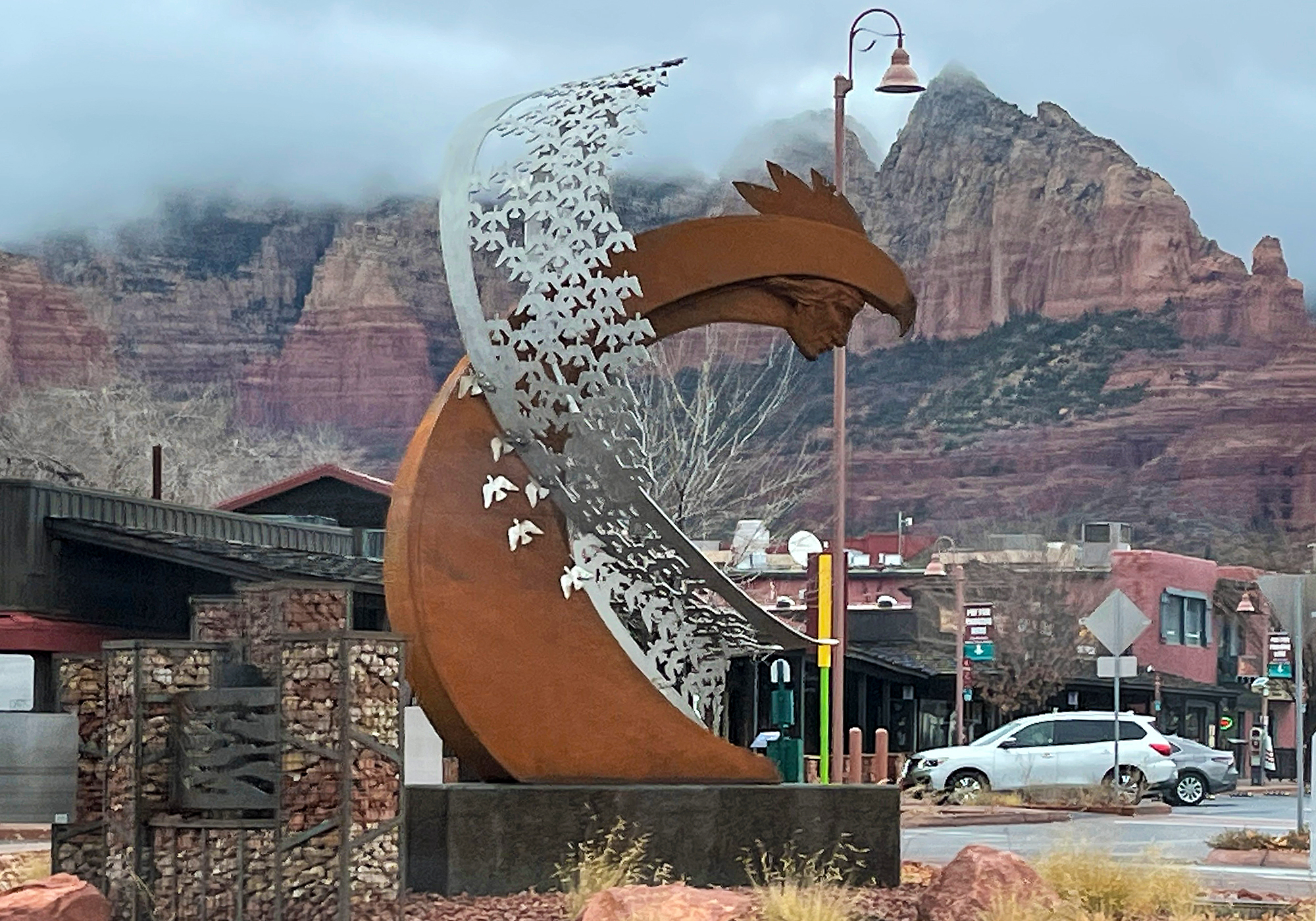


We did encounter a few inches of snow at the higher elevations but the road had been recently plowed and although slushy in places it was otherwise clear. And we made it through the hairpin turns (my biggest concern) without leaving the road – something the driver of a certain white Challenger cannot also claim.
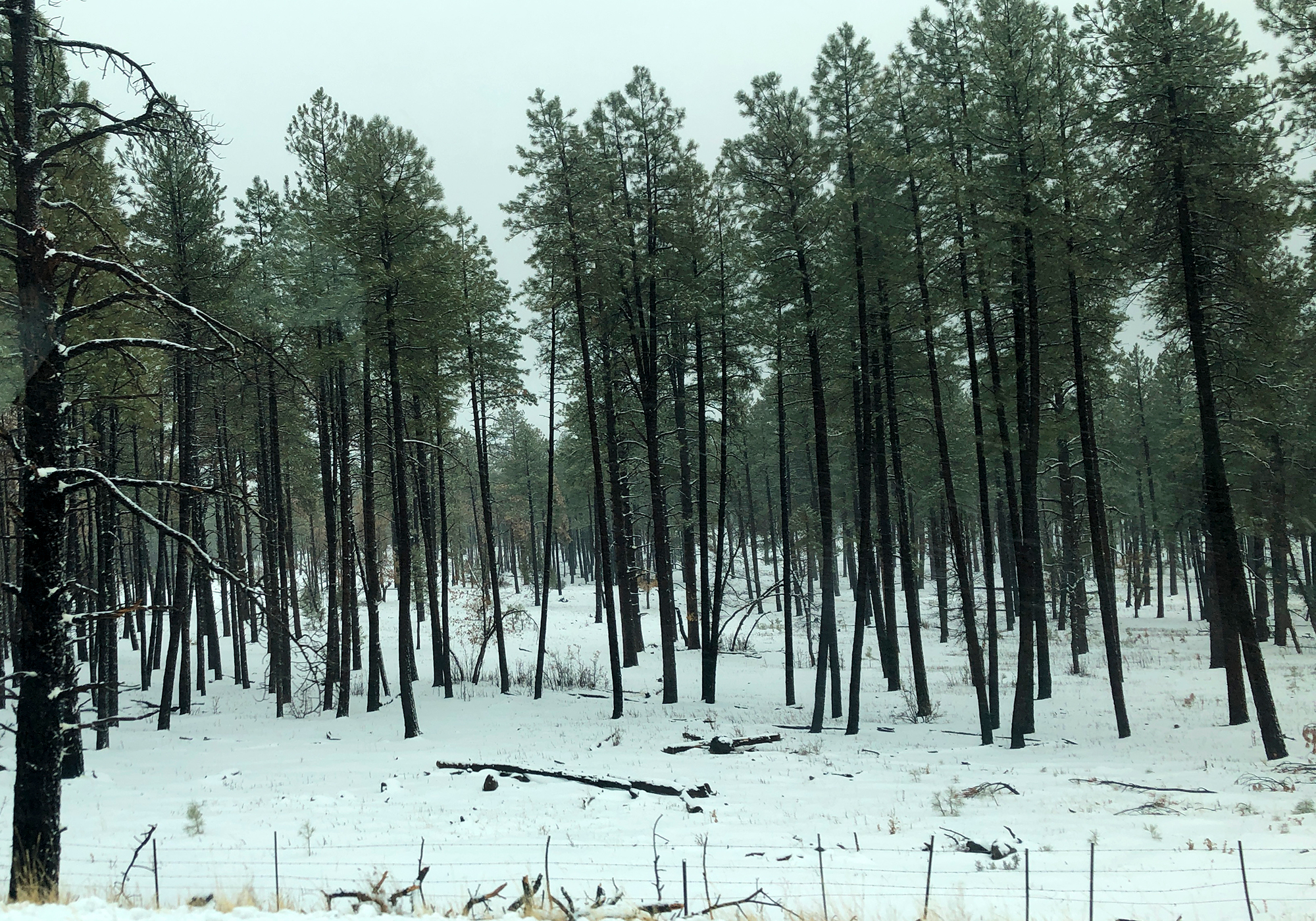
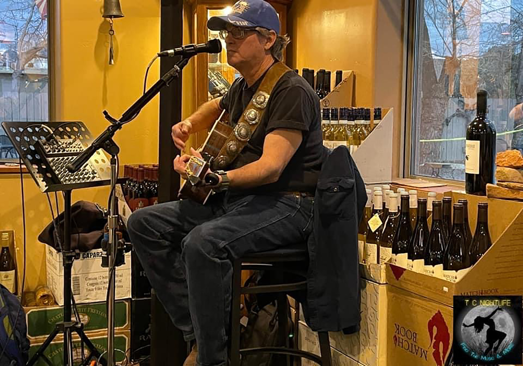
Apparently we made the right decision as the news the next day reported “Historic rare heavy snow blankets Sedona, AZ”. In the end we didn’t get to spend much time exploring Sedona but we did get to meet up with our good friend Ron who guided us to some great meals and a bit of live music:
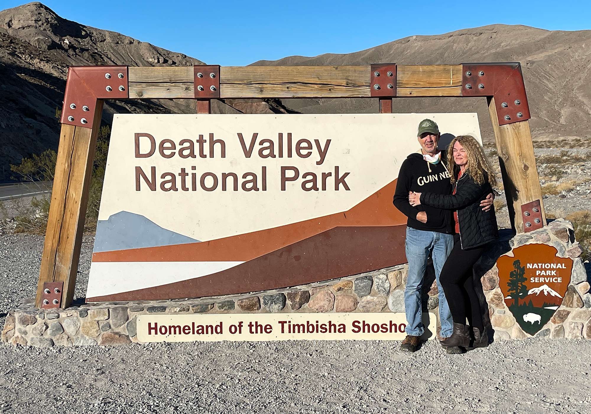
- Death Valley National Park
Funeral Mountains: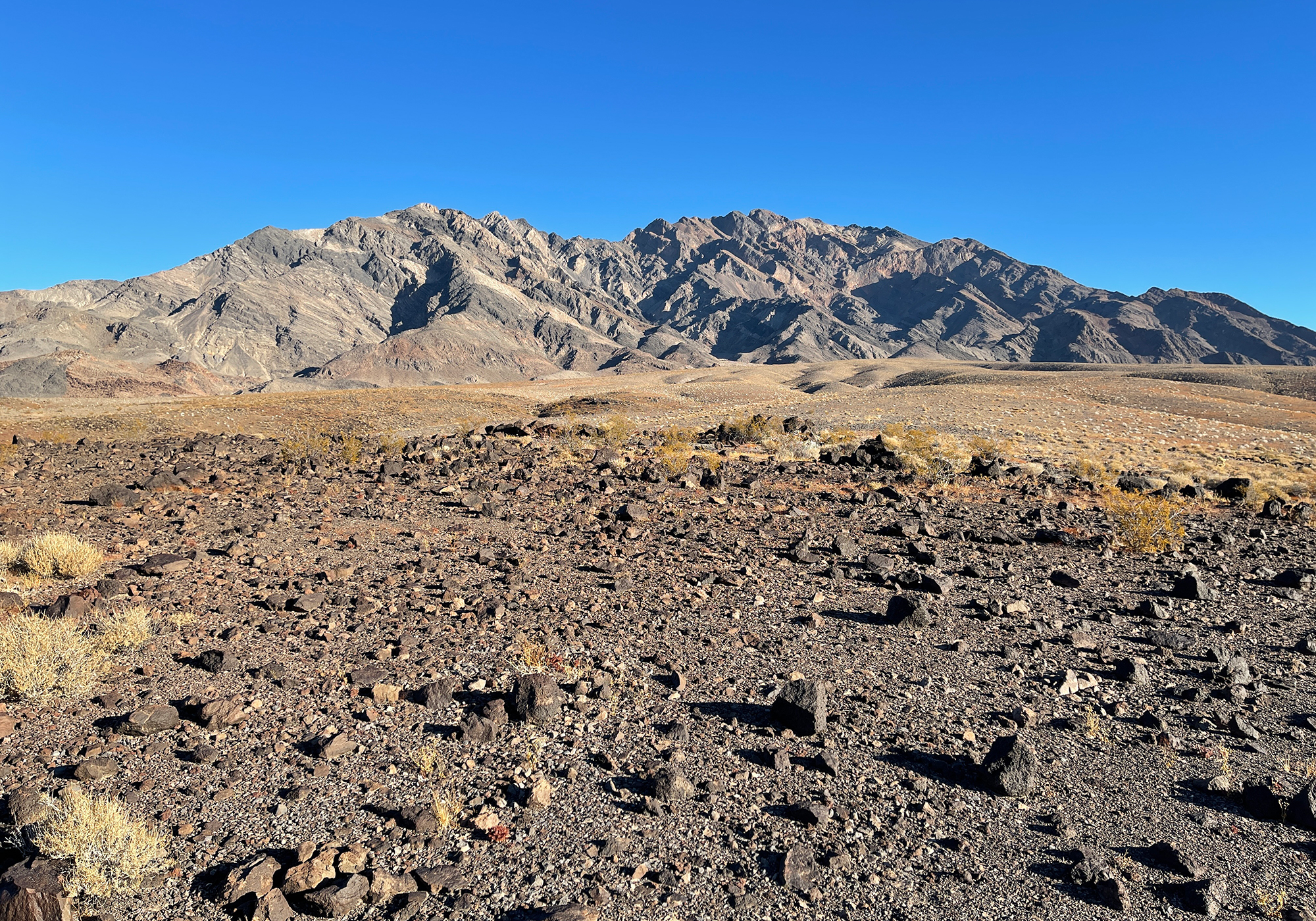
Sea level outside Furnace Creek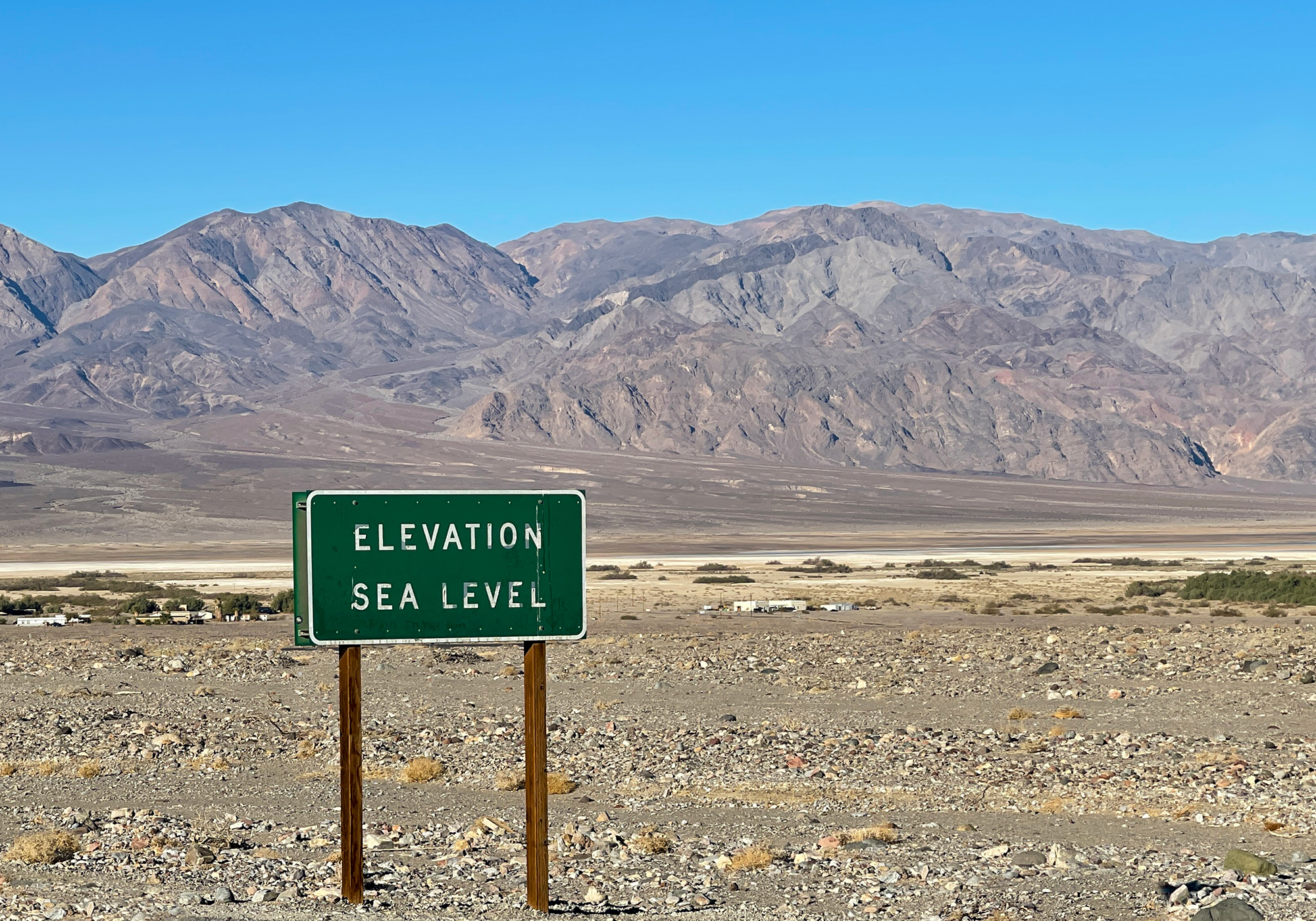
Telescope Peak, high above the Badwater Basin, at 11,043′ is the highest point within Death Valley NP and is the highest point of the Panamint Range. Hidden behind this mountain range and only 85 miles away is 14,505′ Mt Whitney, the highest point in the contiguous US.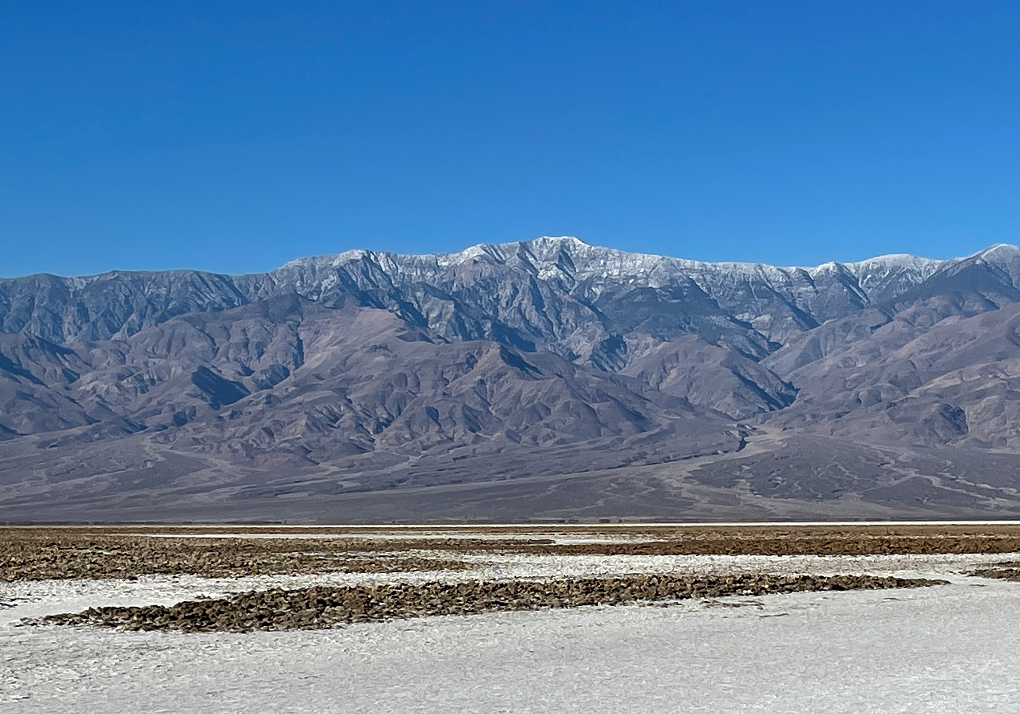
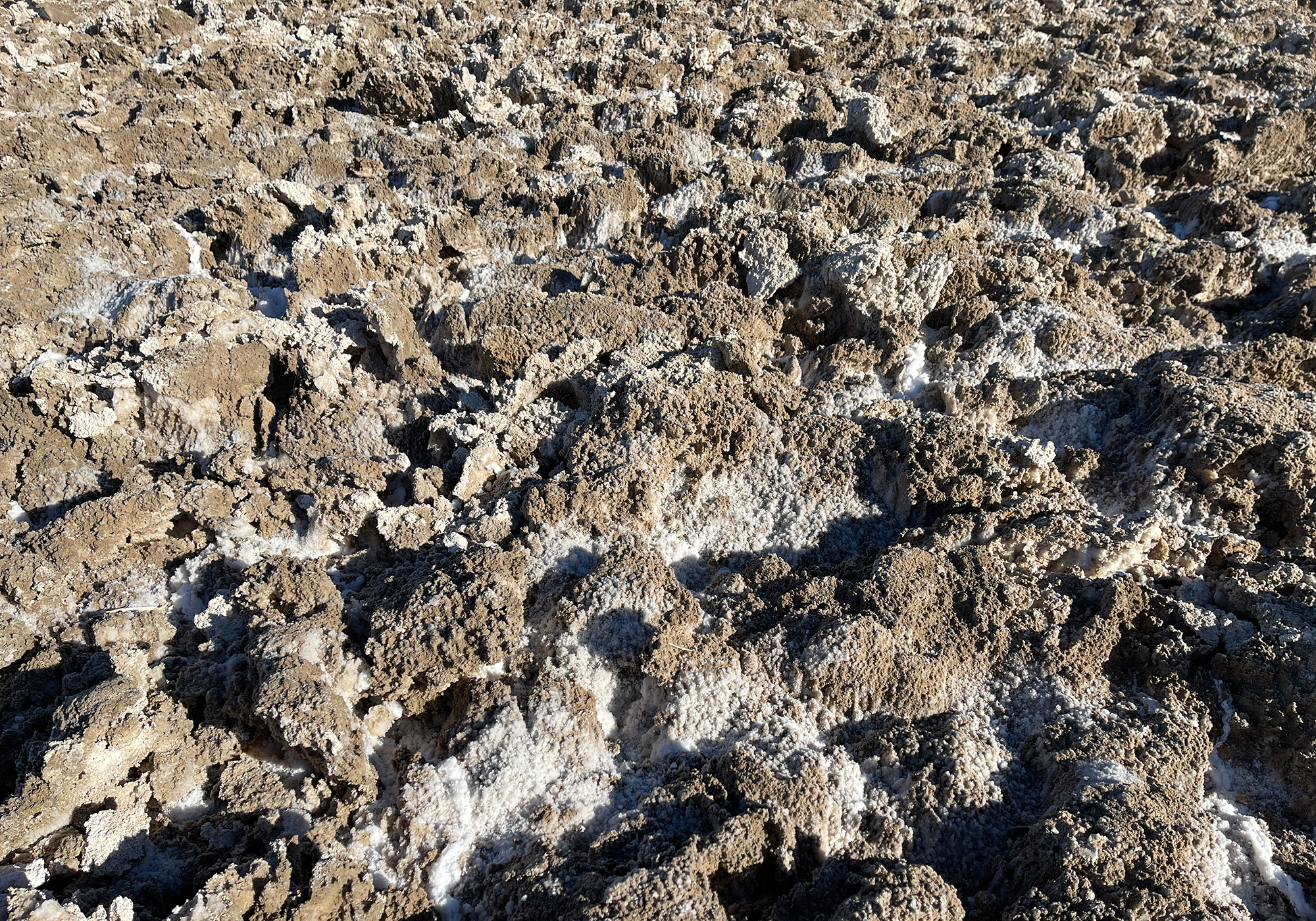
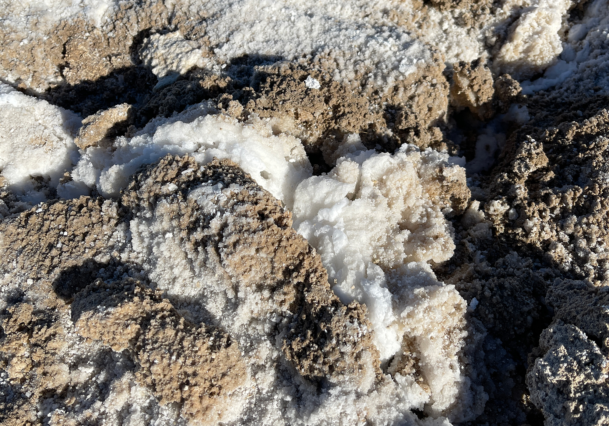
They’ve redone the boardwalk and put in a new sign since we were here last: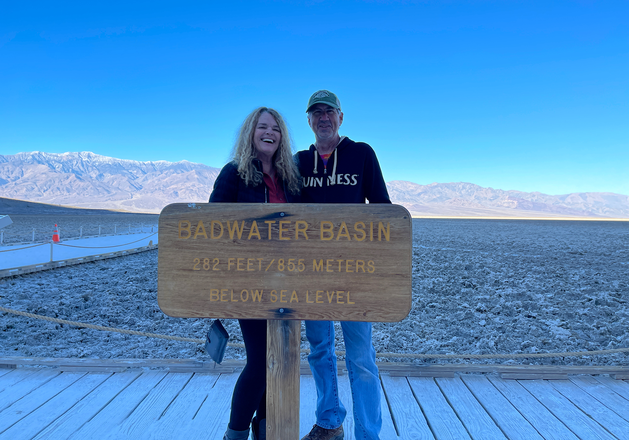
282′ below sea level: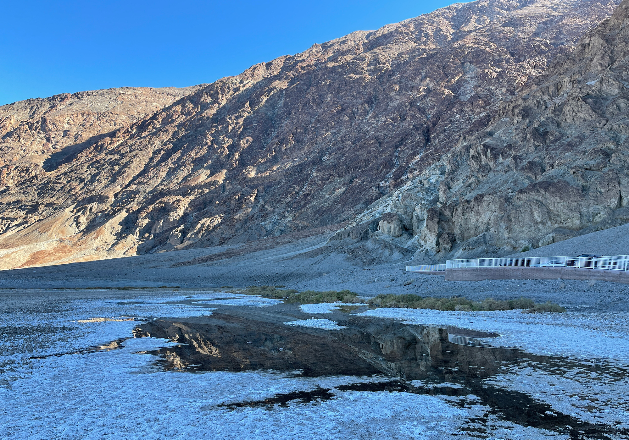
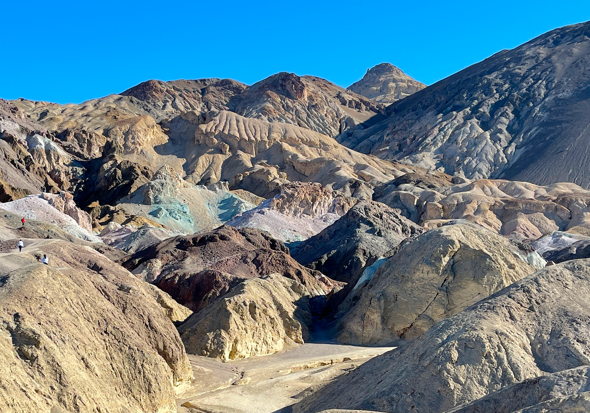
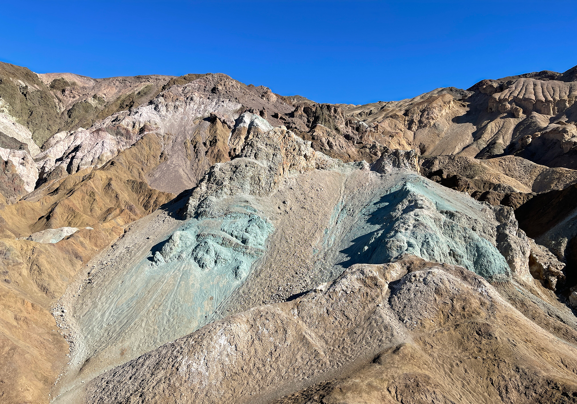
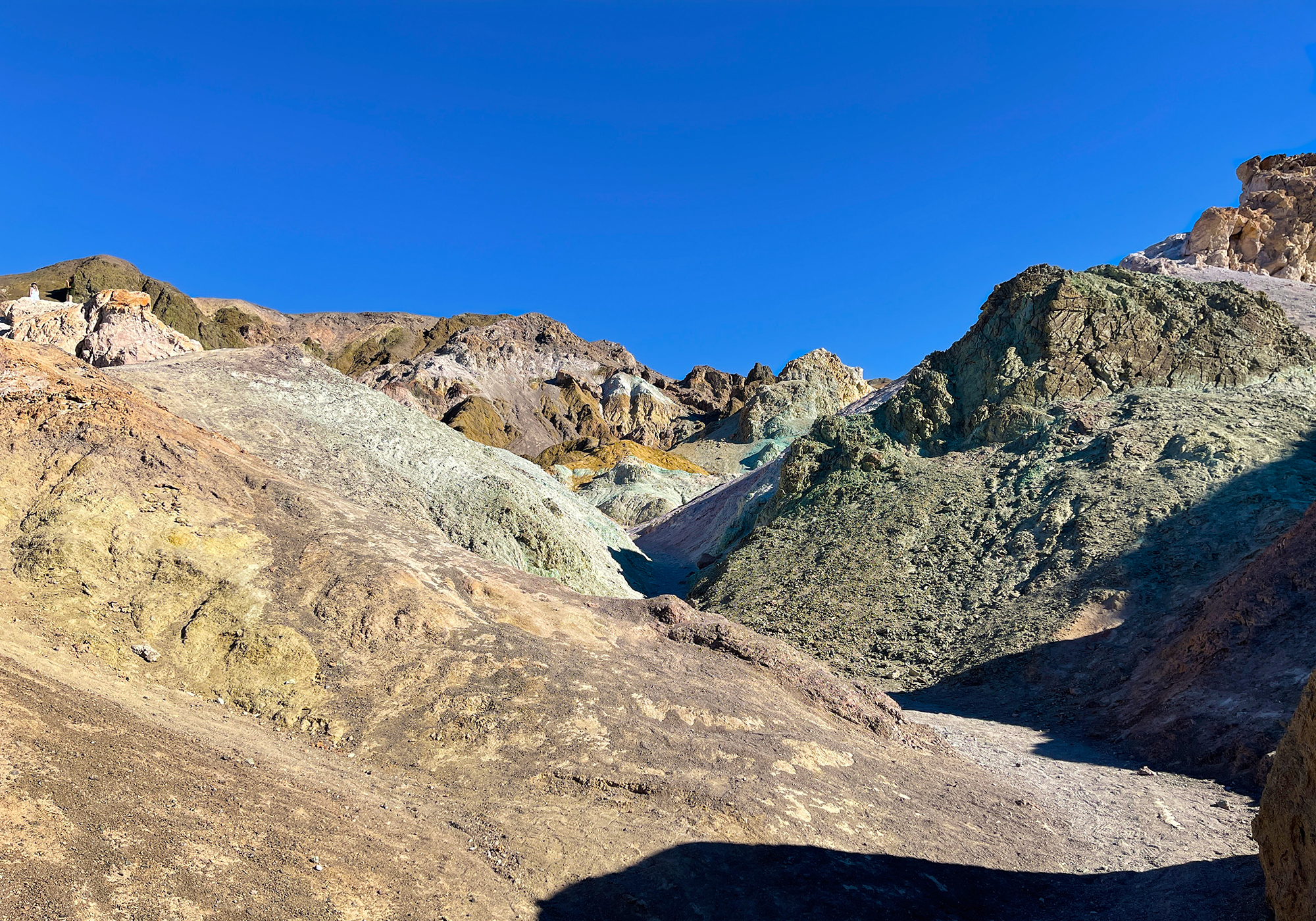
Artist’s Palette painted canyon of oxidized rocks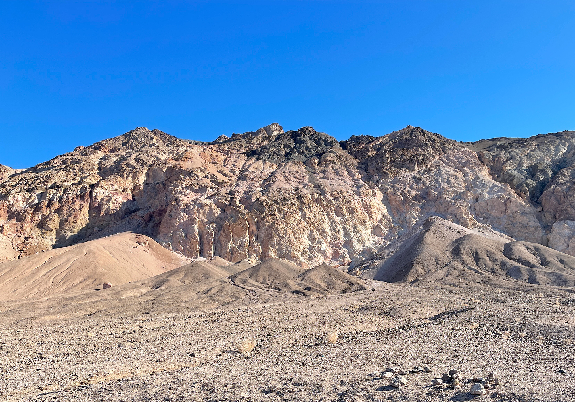
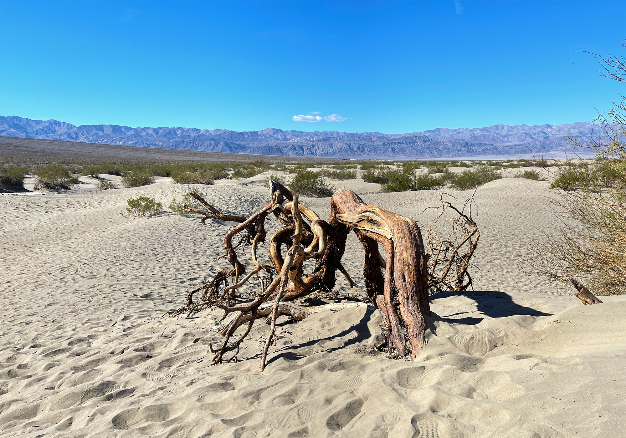
Mesquite Flat sand dunes:
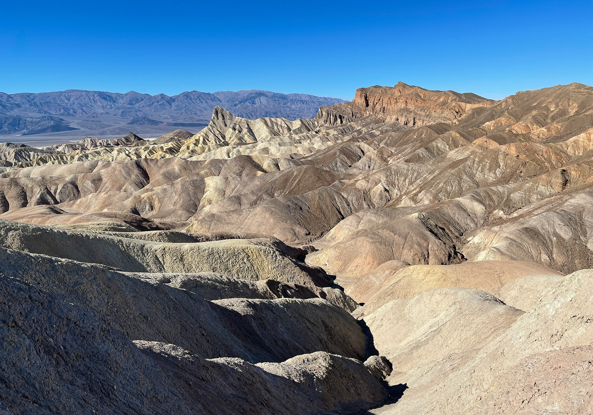
Zabriskie Point badlands: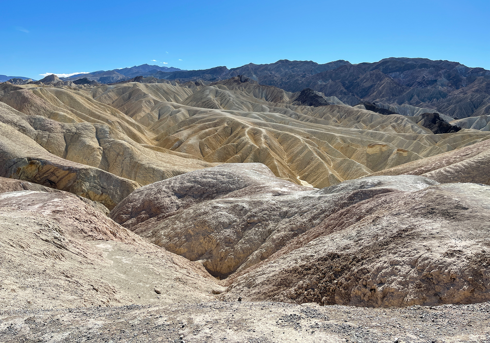
The Badwater Basin from Dante’s View 5,758′ above on Coffin Peak: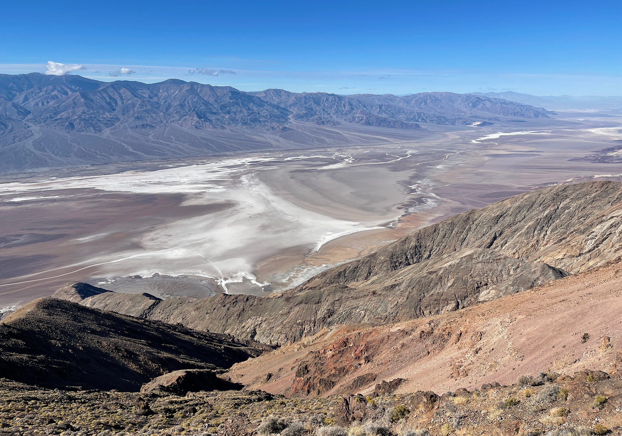
Schwaub Peak, Funeral Mountains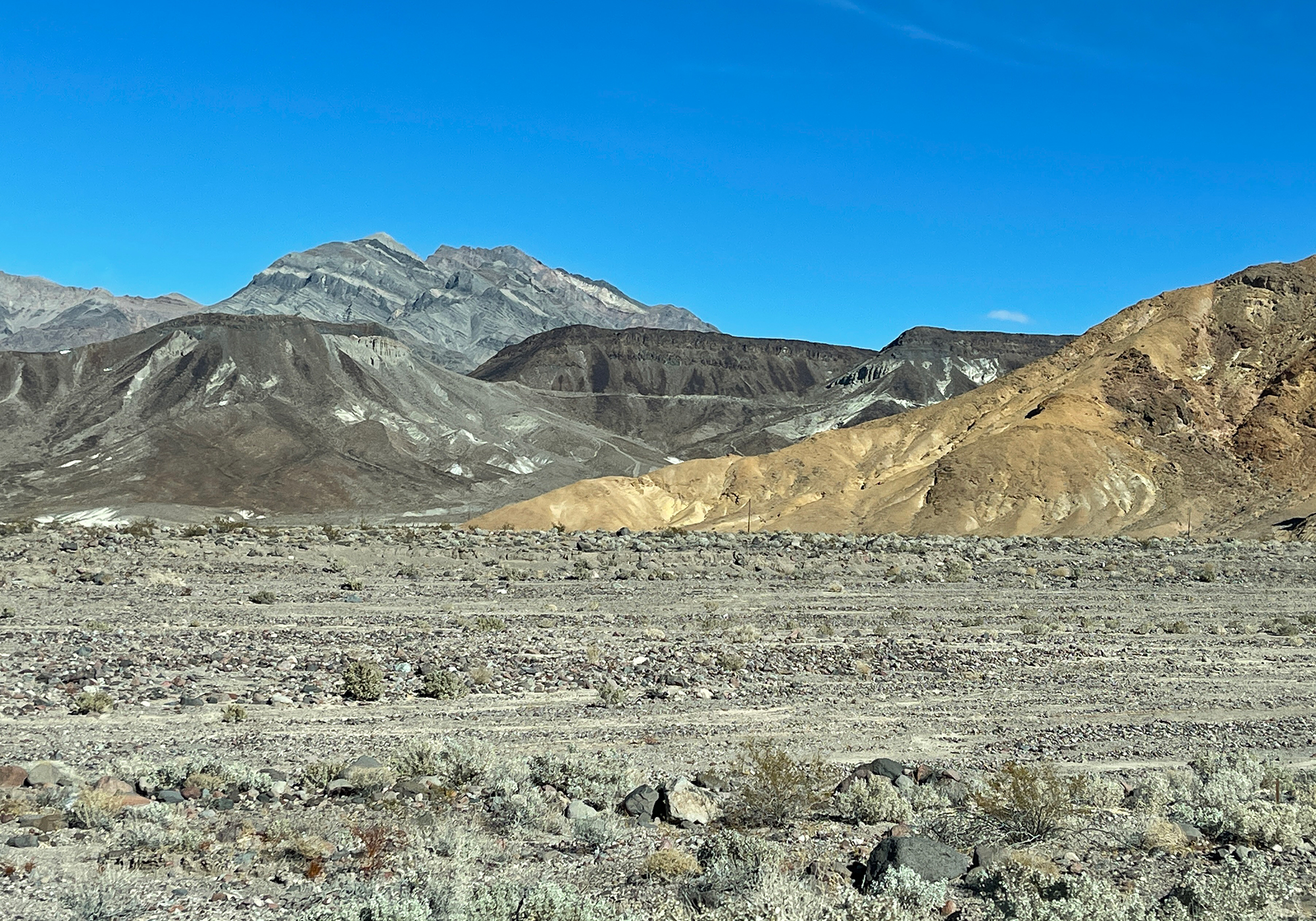
- The best laid schemes o’ mice an’ men …
According to the weather almanac, Pahrump and Las Vegas average 0 inches of snow per year and the last time there was any measurable snow in Vegas was December 2008. So of course …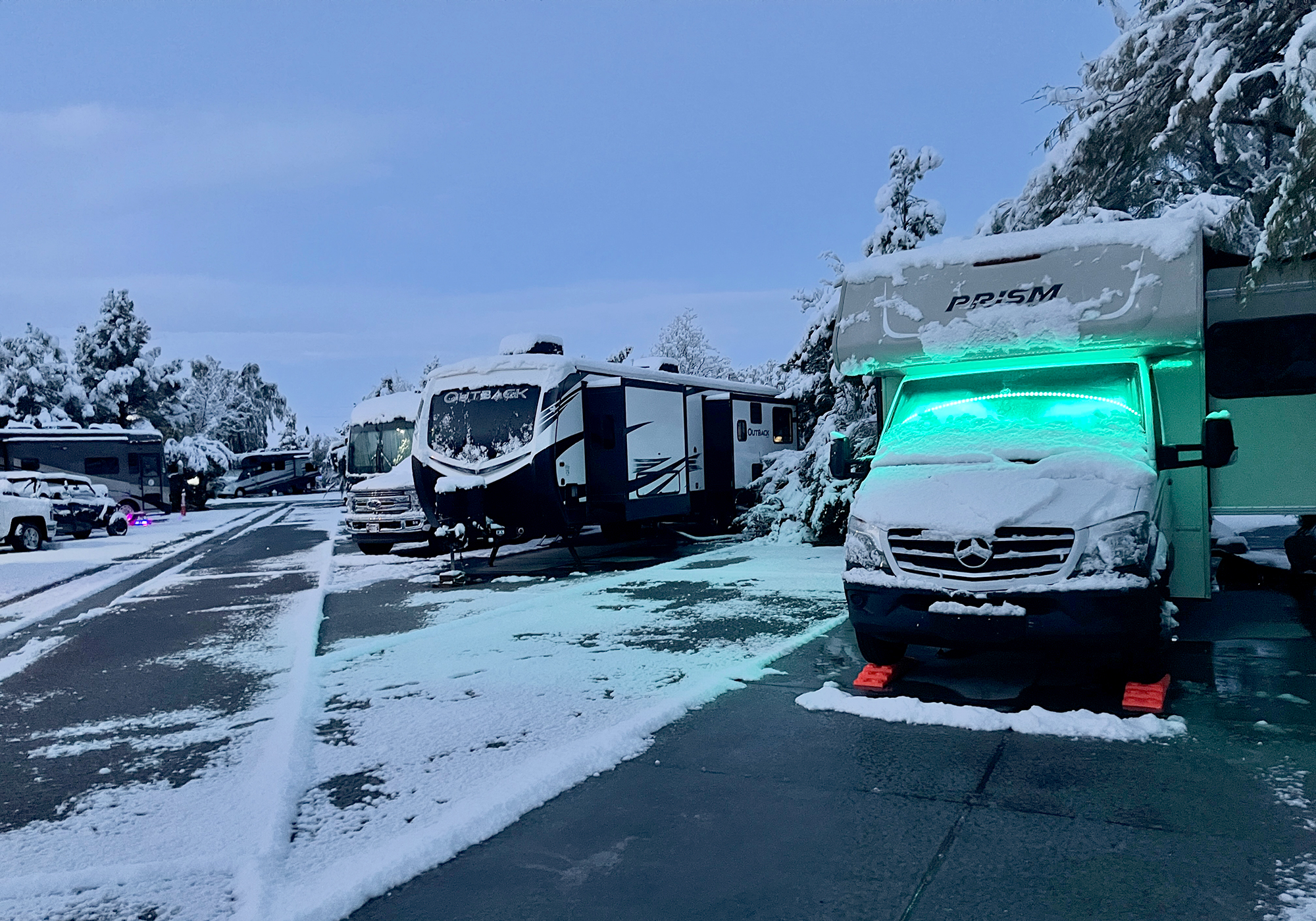
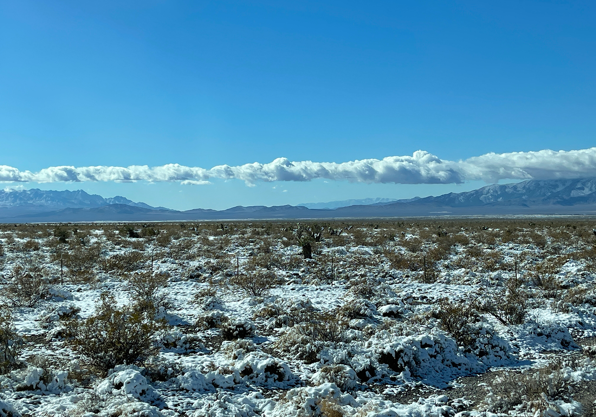
The desert is actually very pretty with 3-4″ of snow.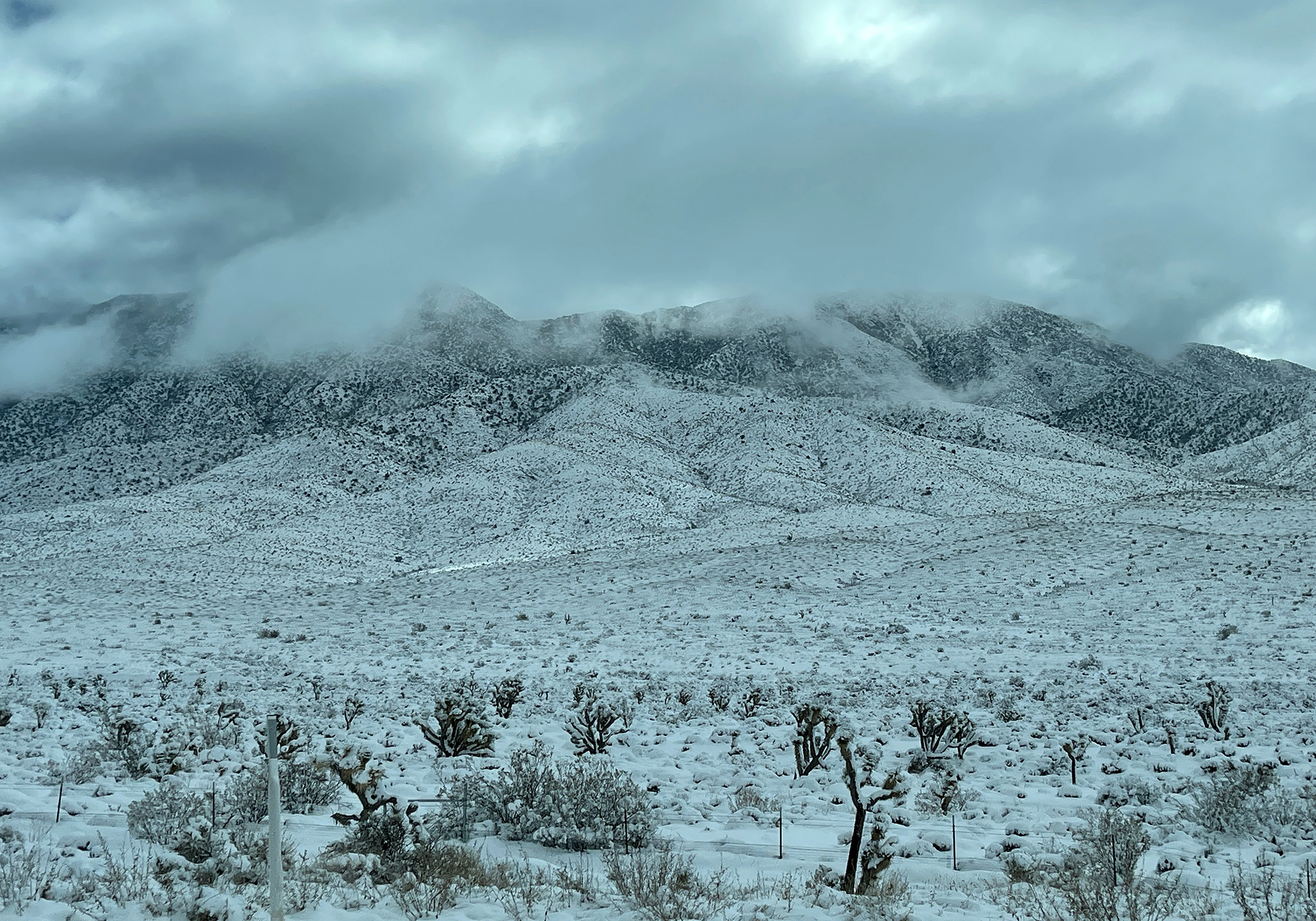
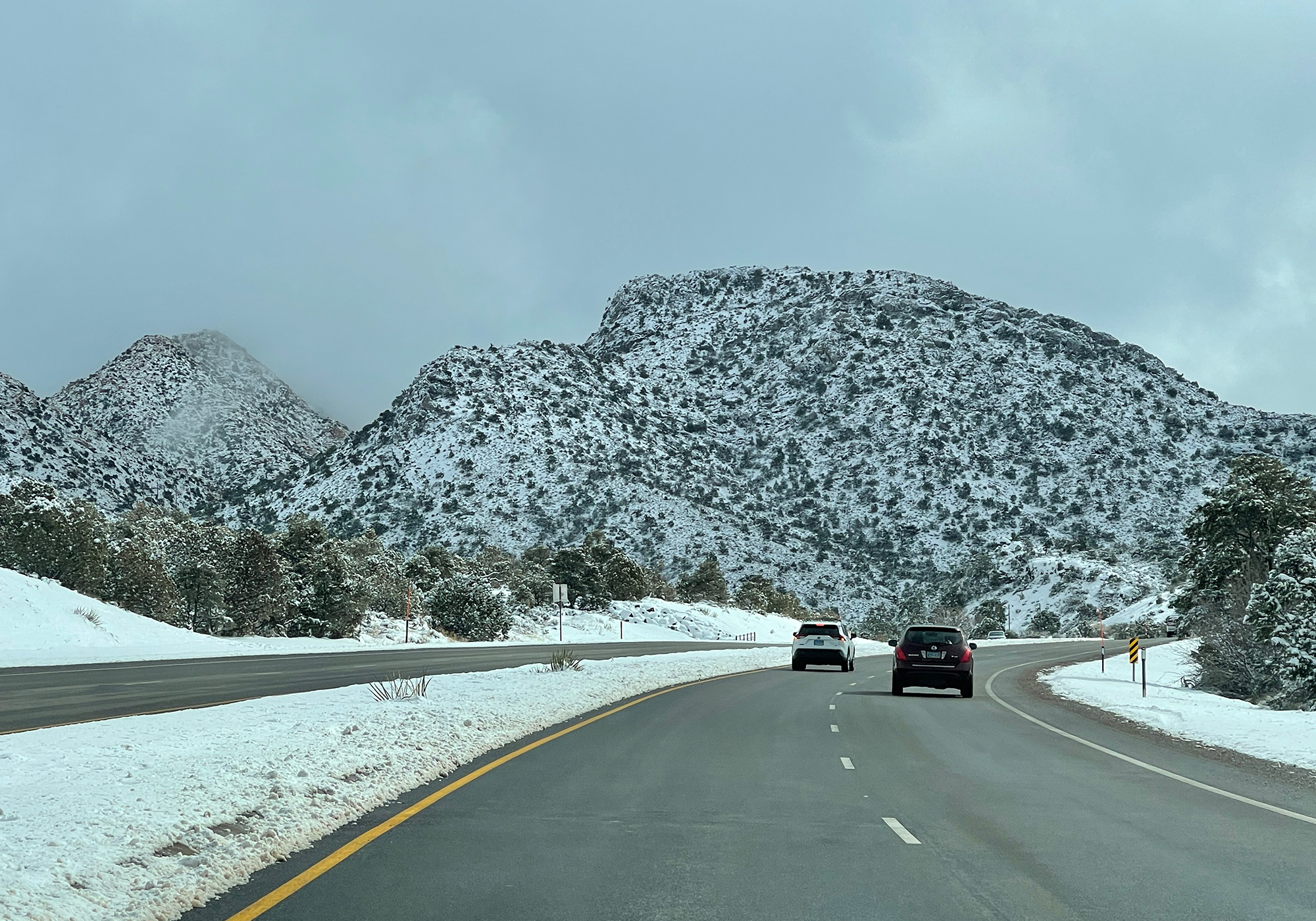
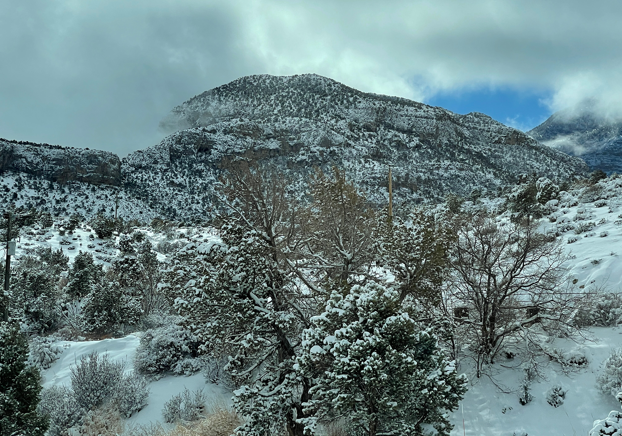
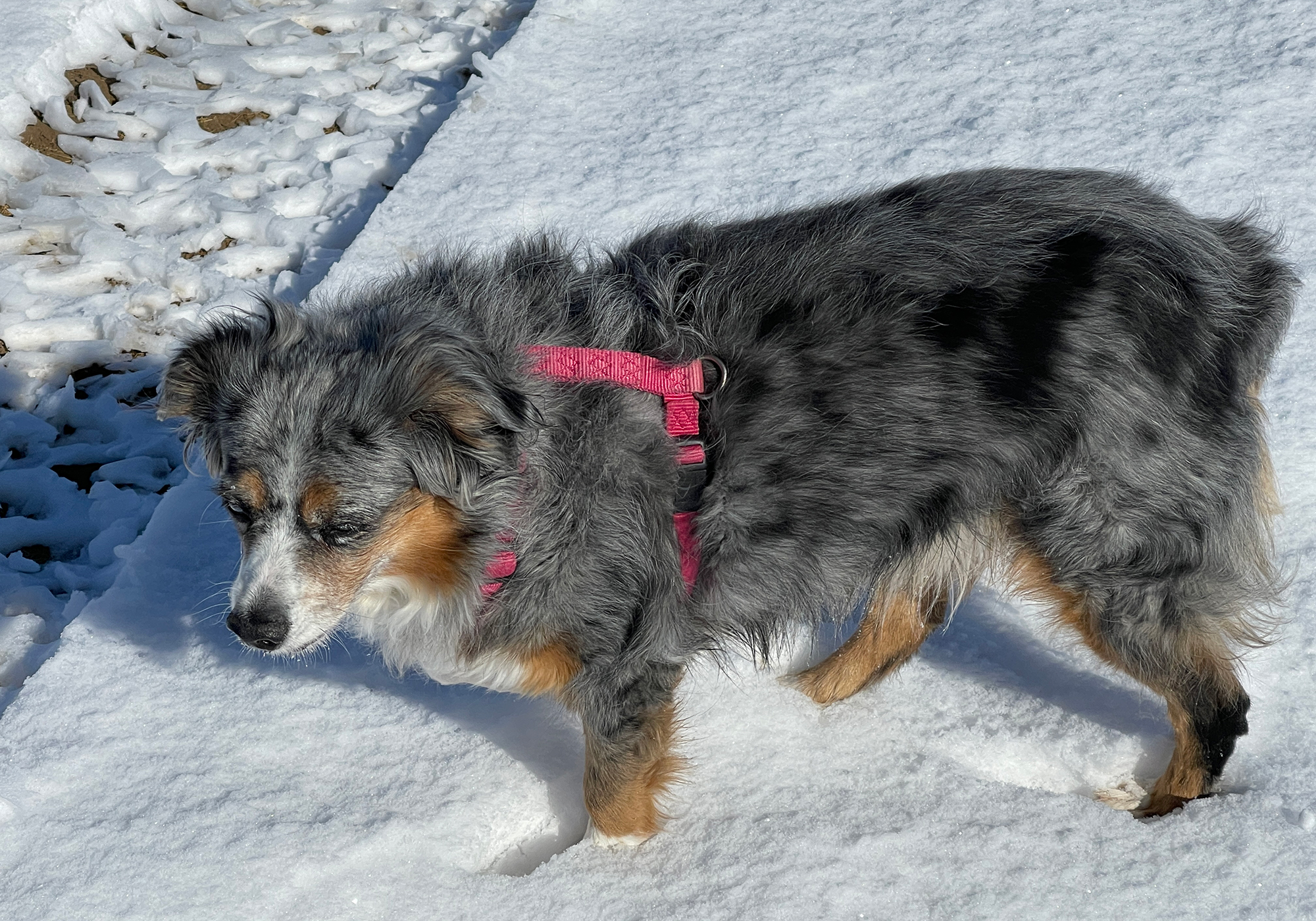
Shelia seemed a bit apprehensive at first but she eventually had fun her first time in the white stuff :Flexibility is probably the number one benefit to RV vacationing. Since we have everything we need with us: food, clothes, pets, etc. we have the freedom to react to events and change our plans with little to no notice. That came into play on this trip when we got news that Laura needed to head home to Maryland. So once again we were watching the weather forecast. This time to plan getting across the Spring Mountains without getting caught in yet another snow storm. Luckily we were joined this week of our vacation with our very good friend Chris and his son Jason and as fortunate as we were to visit Death Valley with them, we were even more fortunate that Chris was willing to make the trip to and from Vegas to get Laura on a flight home.
Later that day, even though I would be missing out on days of ATV-ing and some desert range time with my buddy, while Laura was still in the air, I packed up the pups and pointed the RV eastward to follow and hopefully arrive just a few days behind her.
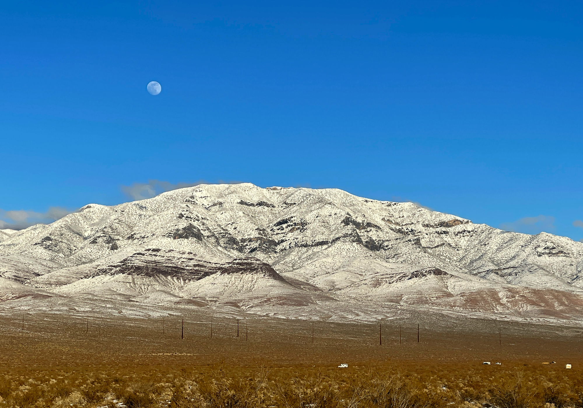
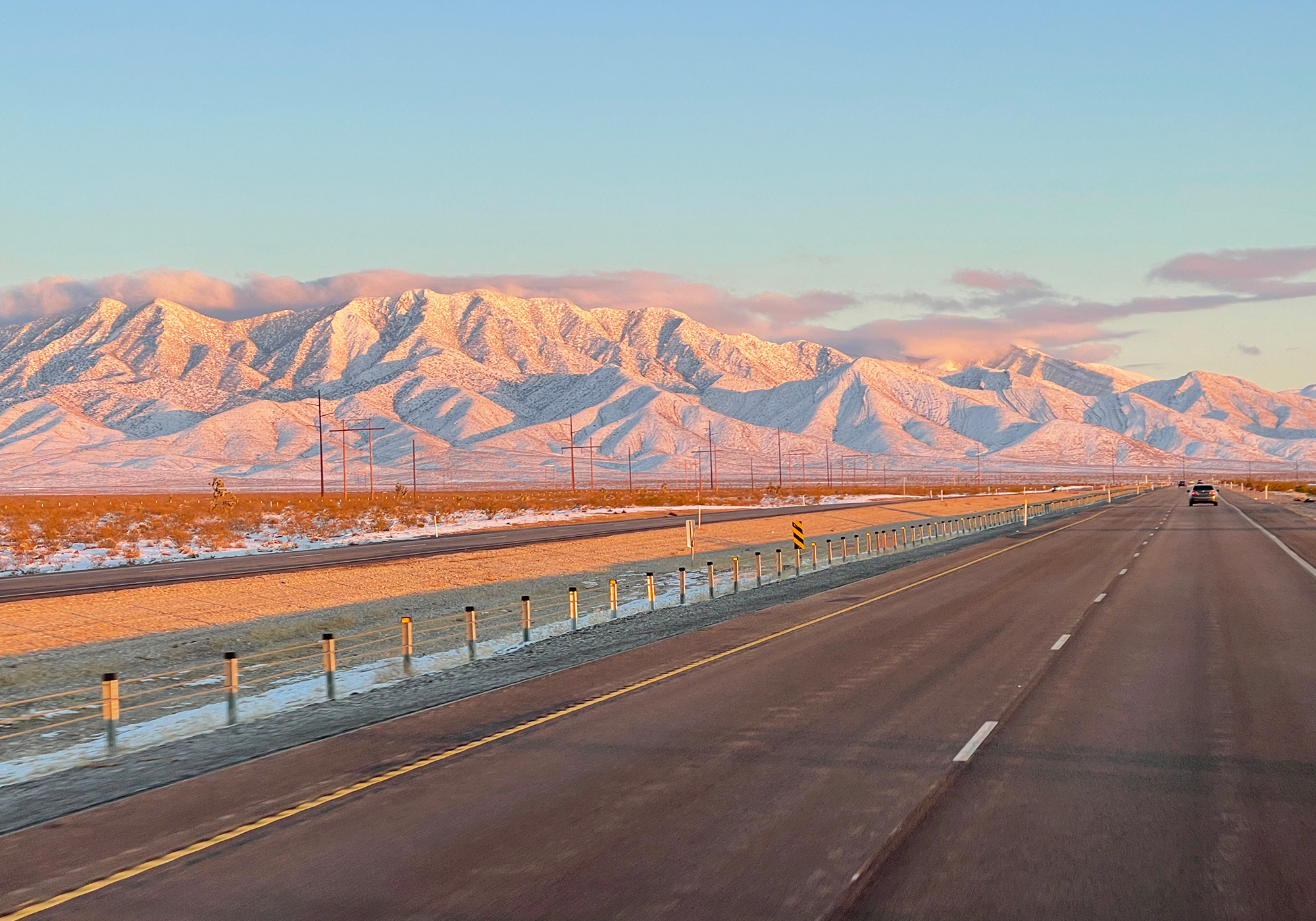
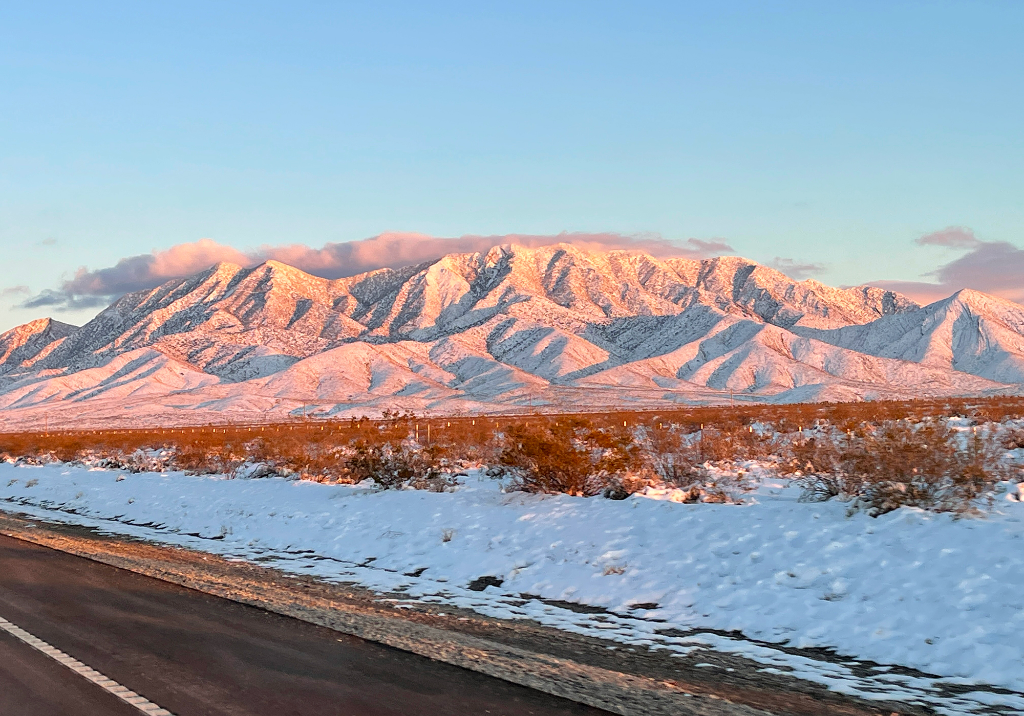
I was sent off with some great views of the moon rising and the sun setting over snow covered desert mountains:
Driving through the night, I made it to Grand Junction Colorado in the wee hours of the morning only to be greeted by highway signs telling me that the I-70 was closed at Vail Pass. Apparently I caught up with the storm and even after cooling my heals for a day and a half, I managed to stay just behind it the rest of the way across the country.
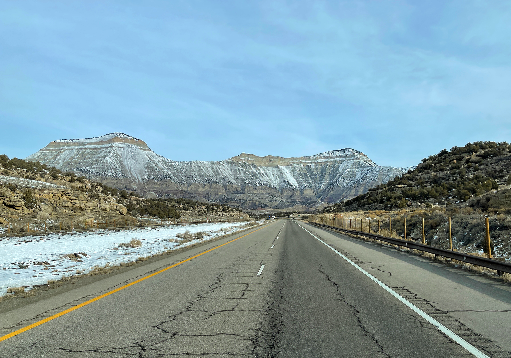
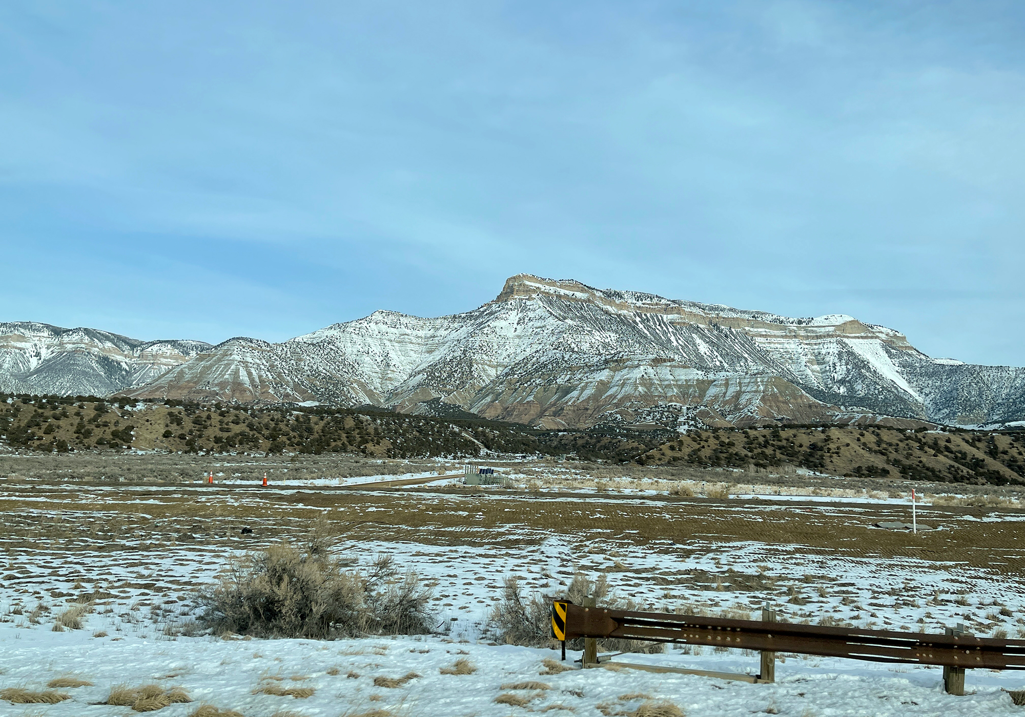
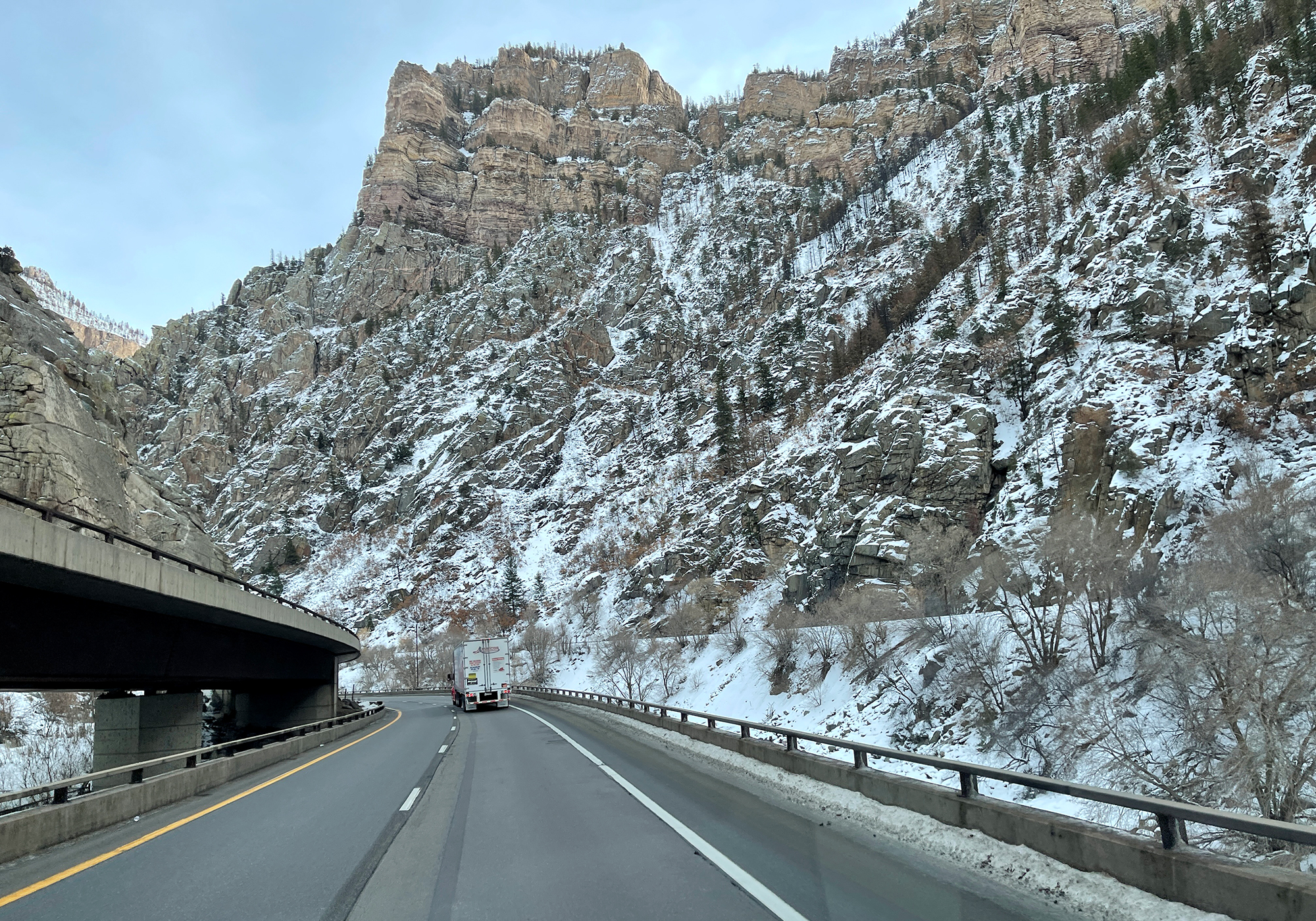
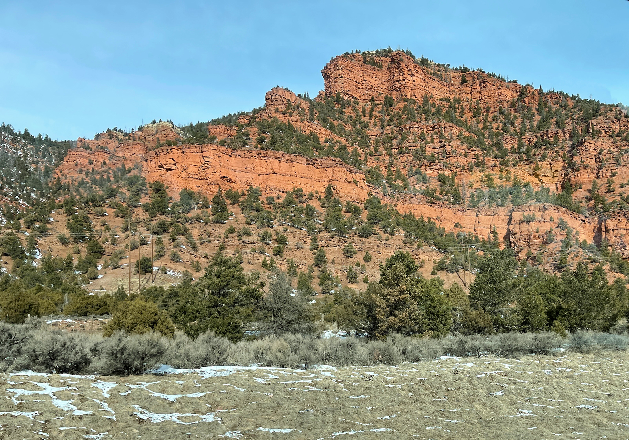
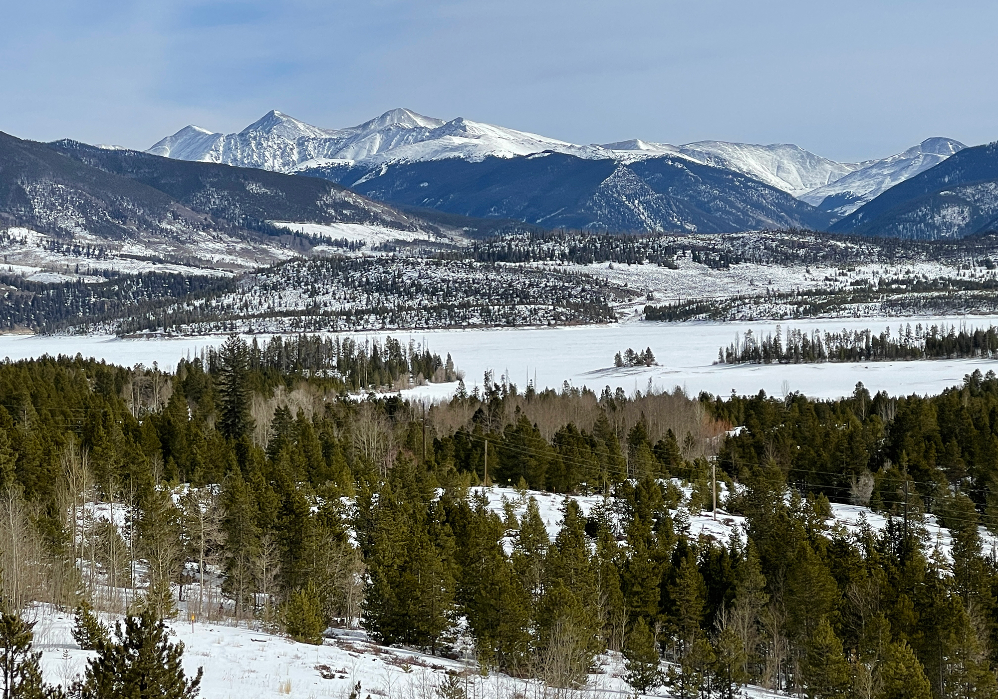
The only thing that could make the winter drive across eastern Colorado and Kansas more boring and featureless would be to cover both states with 3-4″ of snow: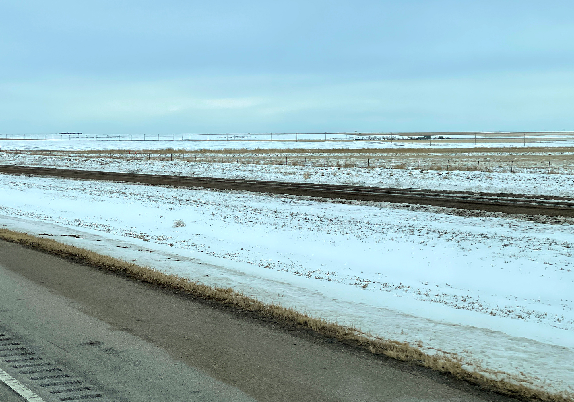
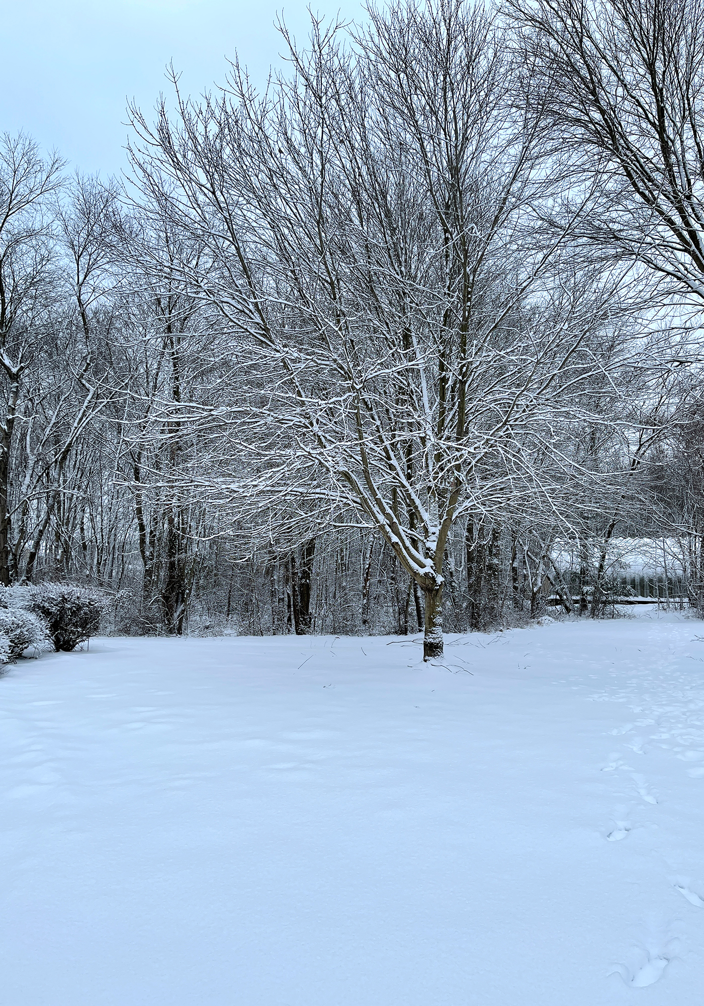
And finally after arriving in Maryland, collecting Laura and getting settled, the second storm caught up with us and gave the dogs fresh powder in which to frolic.